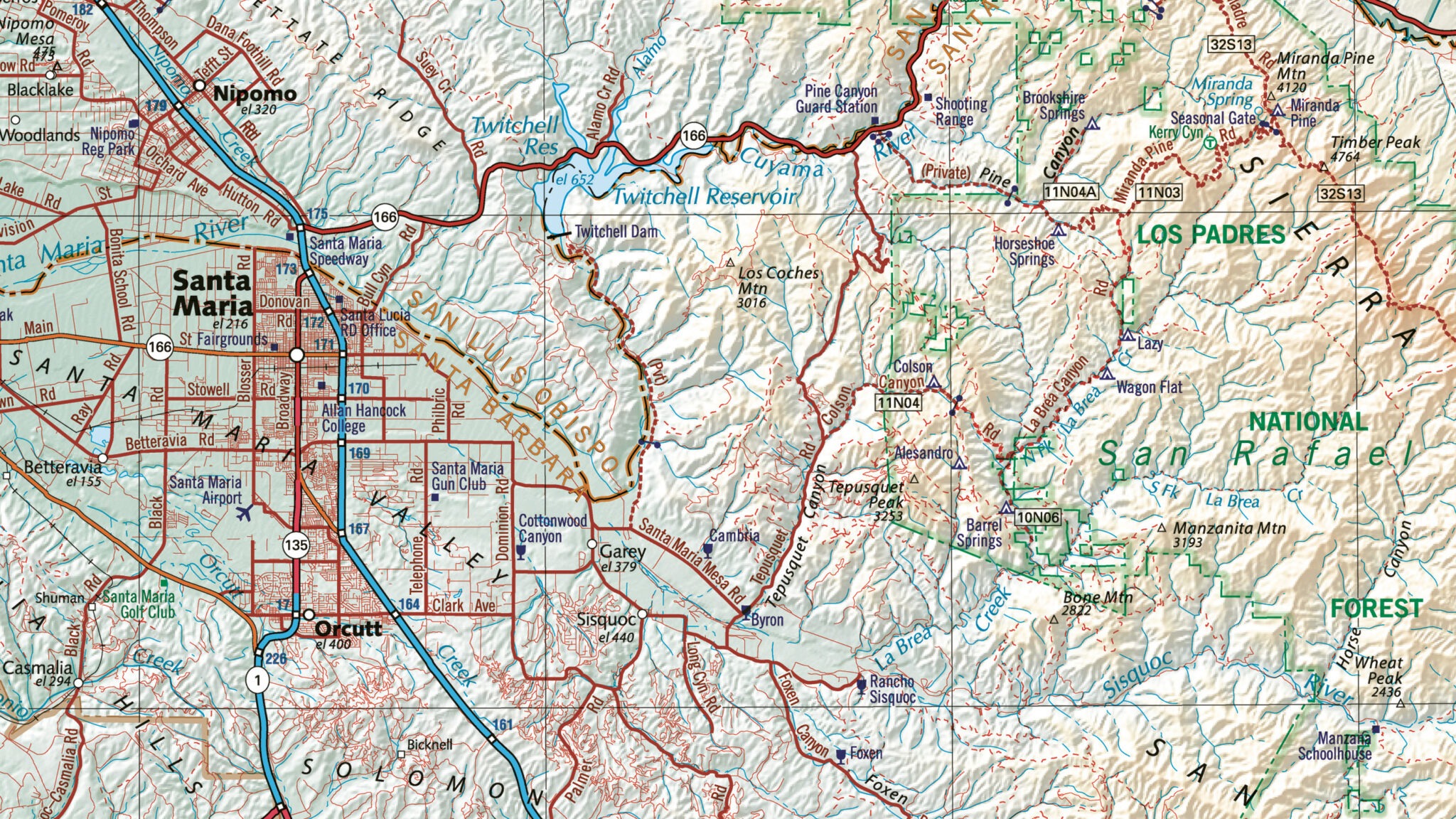
As official partners of TomTom and HERE Technologies, we offer full navigation vector datasets, including transportation network data and geocoding databases.
Trusted Content to Drive Your Business
Demand for precise navigation data is never ending as populations and infrastructure are constantly in flux. East View Geospatial offers authoritative, up to date navigation data to help organizations keep on top of planning and growth.
Featured Data Partners

With years of experience helping people across the world navigate, TomTom has gained generational data with global appeal. Now with their new Orbis Maps platform, TomTom has made it simple to view detailed navigation data across the world. We work with TomTom to make acquiring and integrating massive amounts of data easy.

East View brings you access to a platform that’s designed for any customer and any dataset. With built in tools, data on demand and the ability to develop your own solutions in one environment, the HERE platform makes it easy enrich your assets and share findings.
Data Offerings
Contact Us to learn more about our navigation data and solutions
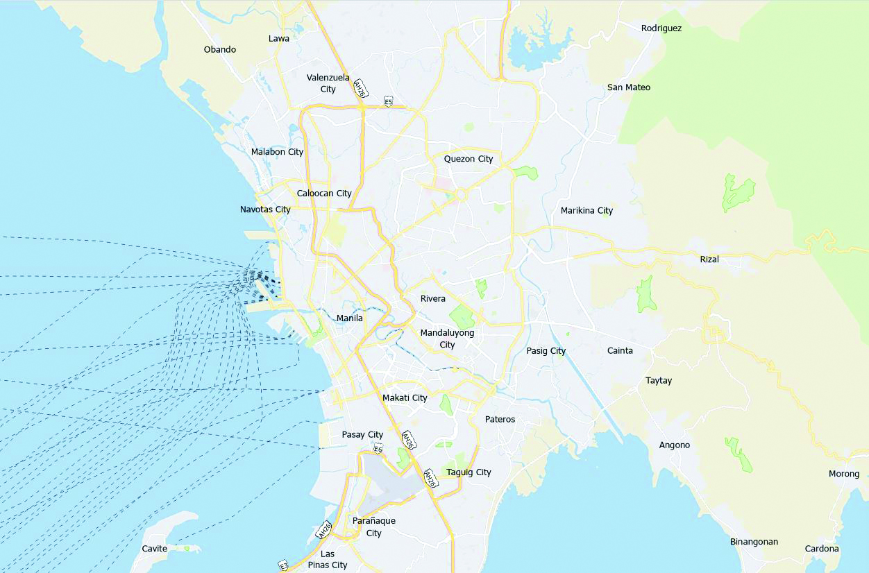
Transportation Network
Transportation network data is a digital representation of roads, streets, highways, waterways, and railways. Each feature within these layers carries additional information, like road names, lane numbers, accessibility details, and more. Transportation network data has uses for everything from navigation to logistics and delivery.
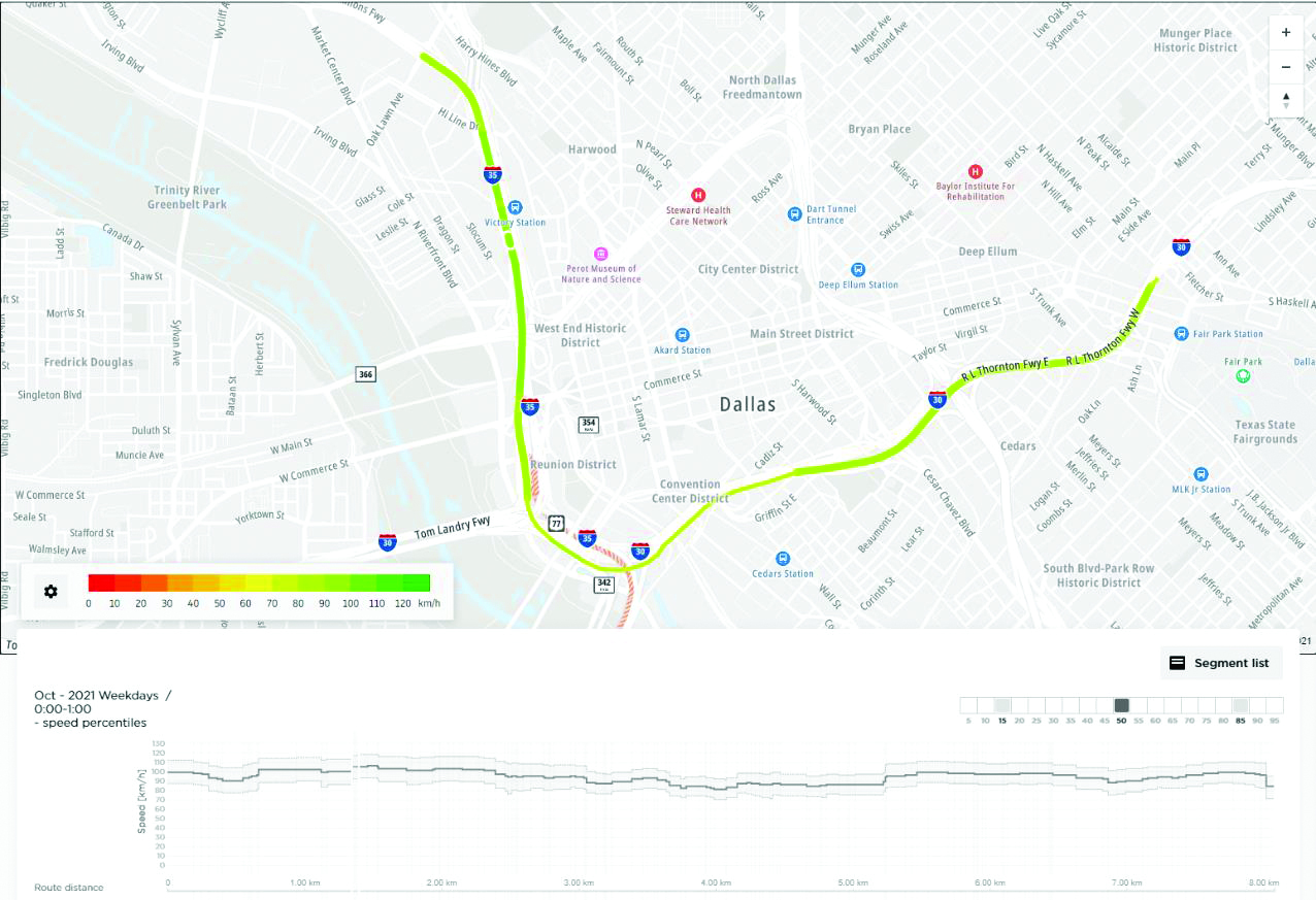
Traffic
Traffic data represents various aspects of traffic patterns and conditions. Detailed information includes average speeds, travel times, and safety incidents. It’s used for a wide range of transportation-related analyses, visualizations, and decision-making.
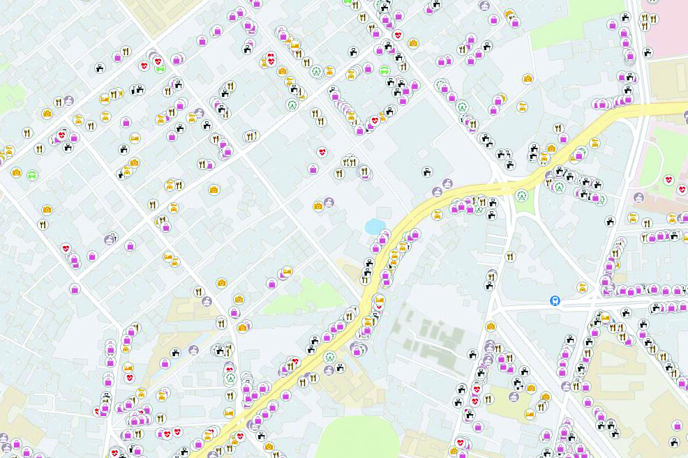
Point of Interest (POI)
POI data is a type of geospatial data that represents locations of interest on Earth’s surface. POIs can be anything from businesses and landmarks to natural features and recreational attractions. Typical POI attribution includes name, category, and contact information but can often include much more detail. POI GIS data is commonly used to create maps, navigation systems, and other location-based applications.
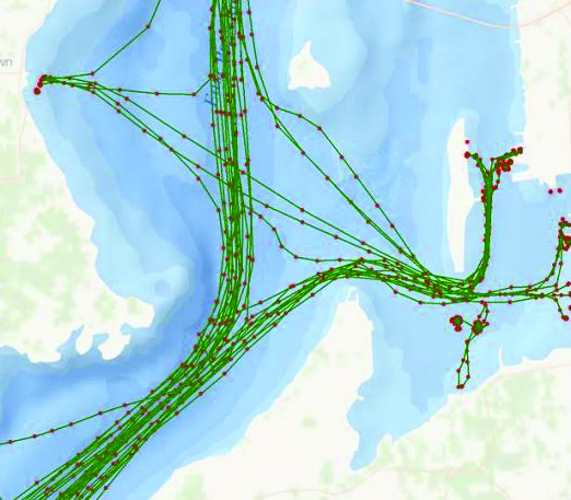
Automatic Identification System (AIS) Data
AIS is a technology for tracking and identifying vessels. It enables ships and maritime vessels to share their identity, position, course, and other information with other vessels and shore-based stations in real-time. East View collaborates with industry leading AIS data providers to deliver AIS data solutions, including the new S-AIS (Satellite Automatic Identification System) technology, which delivers continuous tracking of vessels and global coverage.
