EAST VIEW GEOSPATIAL
About Us
East View Geospatial is your authoritative source for global mapping, geospatial data and GIS services
Source
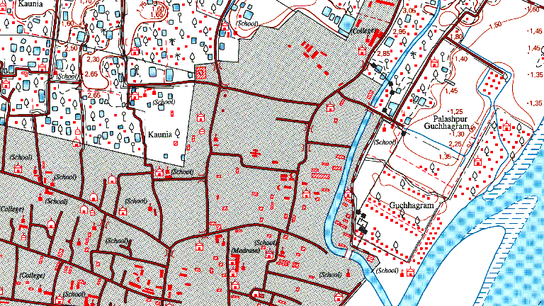
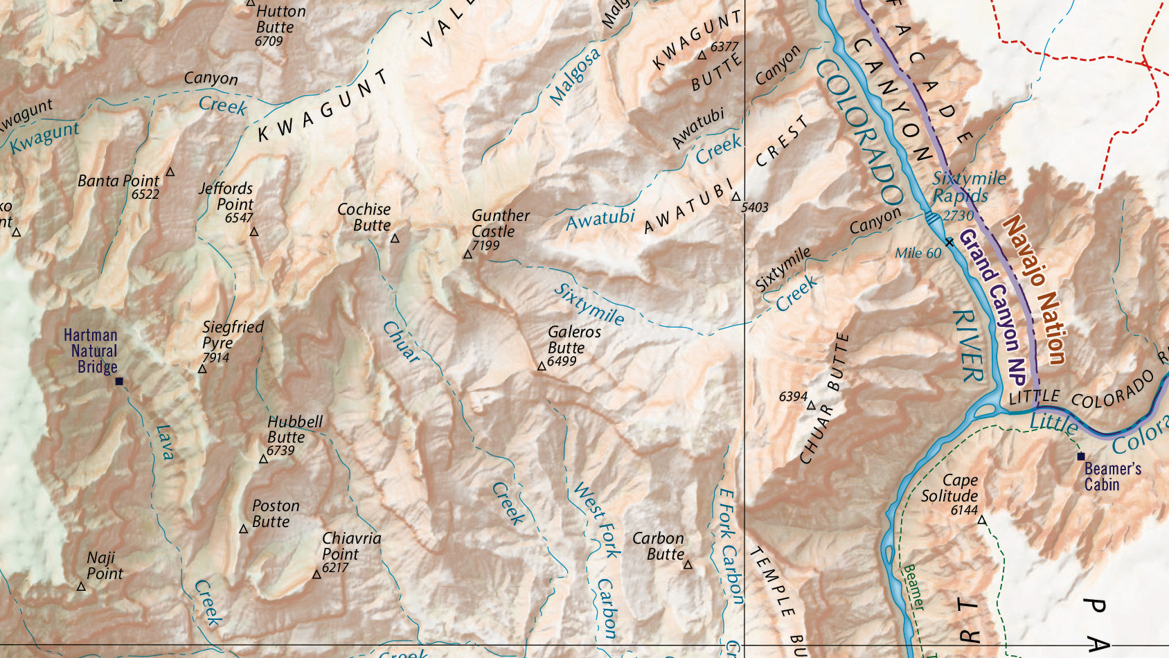
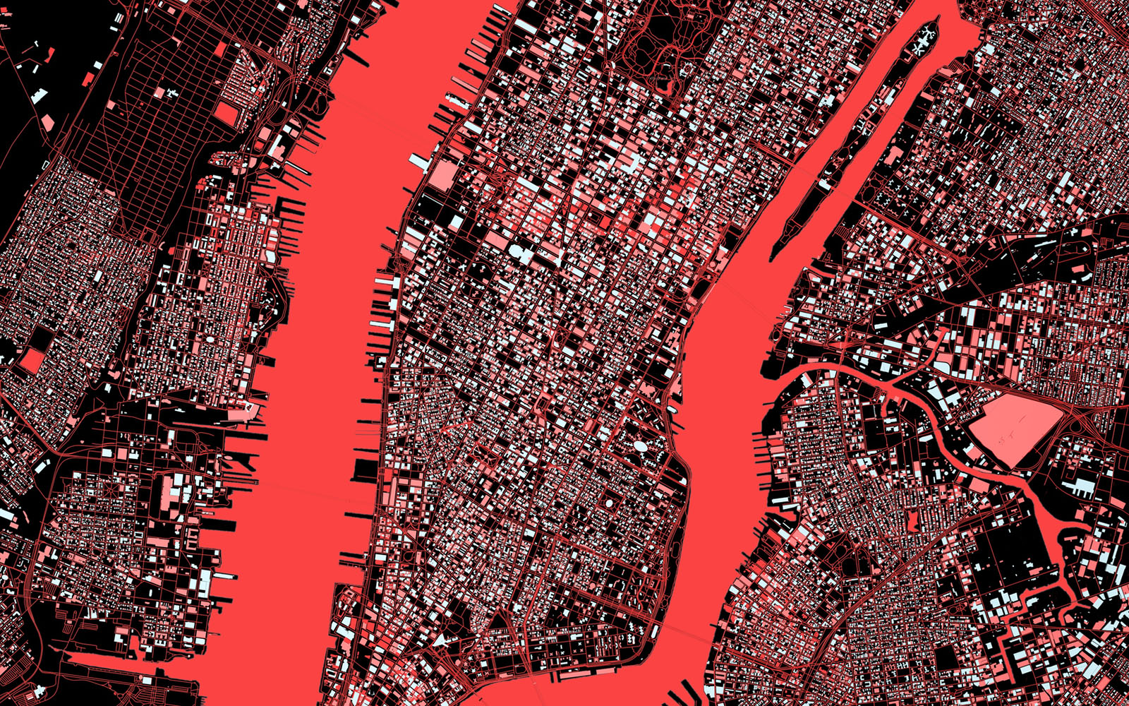
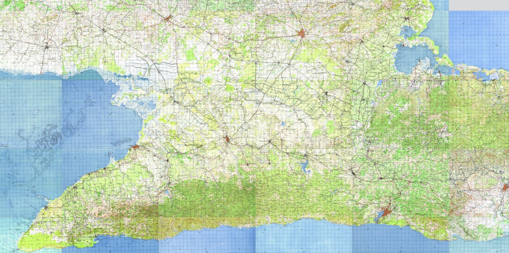
East View Geospatial has the largest commercial collection of maps and geospatial data from around the world. From historical datasets to new productions, we regularly procure and fulfill special requests.
Unparalleled Network of Data
From academics to individual explorers, risk assessors to software integrators, East View Geospatial is the trusted source for authoritative, accurate cartographic products, including topographic and scientific mapping, satellite and aerial imagery, digital elevation models, population datasets, and more.
In addition to our ever-expanding library of more than 1.5 million maps and over a petabyte of digital geospatial data, our long-standing relationships with top industry data providers, foreign governments and national mapping agencies allow us to deliver tough-to-source maps and geospatial information direct from the source.
Note sure what data you need? Our team of experts will help you determine the best data solution. We’ve centralized many commercial offerings, from satellite imagery to digital elevation models, allowing customers to evaluate their many options in one place. Need something else? We’ll deploy our global procurement team to track it down for you.
Production
East View Geospatial is the all-encompassing solution for all your geospatial needs. We’ve thoughtfully assembled a staff of GIS, cartography, and remote sensing experts who ensure our clients receive the right data for their unique applications.
Geospatial Data Custom-Built for You
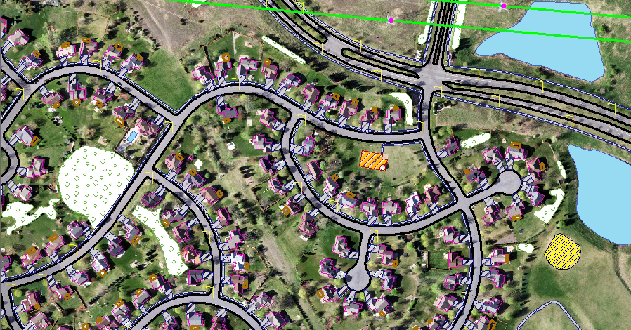
East View Geospatial’s premier production and analysis capabilities enable the creation of detailed and accurate custom mapping, geospatial databases and solutions. Unlike many service providers, we can execute all phases of the process by sourcing authoritative data, producing detailed databases and performing final analytics to extract maximum value for our clients.
With over 30 years of industry experience, our remote sensing, GIS services, and cartographic expertise allow for the production of high quality customizable geospatial data and solutions for virtually any application.
Trusted Across Industries
We regularly produce datasets for clients in a variety of industries, from military and defense to telecommunications and simulation. We are intimately familiar with the differing requirements across industries, from product formatting and delivery methods to accuracy standards and quality control and assurance protocol. You can trust when you receive an East View Geospatial production that it meets your industry’s standard.
Delivery & Management
East View Geospatial’s data management solutions help organizations make the most of their own resources and data. We handle the entire digitization, conversion and hosting process, consulting with you every step of the way to make sure the end product is customized to suit your exact needs.
Enhance Data Accessibility & Discoverability
A trusted partner to academic and corporate libraries since 1989, we offer a full array of digital conversion and hosting services. Digitization not only preserves materials for future generations but also makes them more accessible and searchable, allowing for easier storage and maintenance, sharing and remote access.
As a professional data provider, East View Geospatial excels at organizing and attributing enormous datasets in an elegant and efficient manner. Our cataloging and metadata services create data structures that allow your organization to quickly discover, evaluate and share information.
Customized Platform Solutions
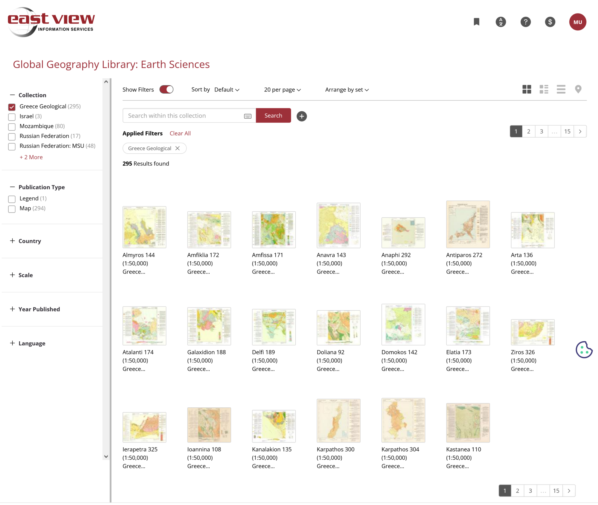
We are constantly developing new and innovative options for hosting data. MapVault provides streaming access to thousands of basemaps from East View Geospatial’s extensive raster map collection.
Global Geography Library offers collections of atlases, maps, charts and related resources, and our GGL+ program provides a fully customizable hosting option for clients wanting to digitize and platformize their own materials.