WHO WE SERVE
Defense & Intelligence Agencies
East View Geospatial has been serving the US government, defense contractors, foreign governments and think tanks for over 30 years with hard-to-source licensed content and value-add production services.
Specialized Data for Defense
East View is a proven pathway to the most difficult to source foreign information. Our vast supplier network gathers geospatial data and products from academic, statistical and media publishers. East View maintains massive metadata repositories representing open source information of various types and we either have or know the whereabouts of critical open source information to support GEOINT and OSINT for all parts of the world. This is a vital competency that few commercial enterprises can claim.
Pioneering Defense Services
Since 1989, East View has been providing high-quality information services to the defense and intelligence communities. During this time, East View has successfully served researchers and analysts in their quest to understand military and security policies and the capabilities of many of the world’s most important – yet impenetrable – societies.
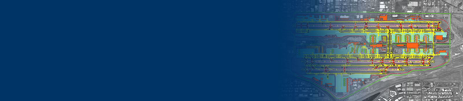
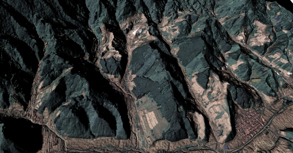
Precision GeoData
East View supplies foundation geodata for military simulation and training. Our products reflect rigorous accuracy standards and specifications. Fit for virtual reality/augmented reality (VR/AR) experiences, command and control center intelligence, or project and mission planning, our portfolio of geodata products satisfies the needs of simulation and training communities.
Defense & Intelligence Solutions