WHO WE SERVE
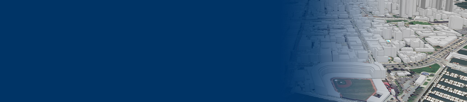
Modeling & Simulation
East View Geospatial supplies a wide variety of foundation geodata for simulation and training – constructing a digital environment with the geometry of reality.
Solving Problems Through Modeling and Simulation
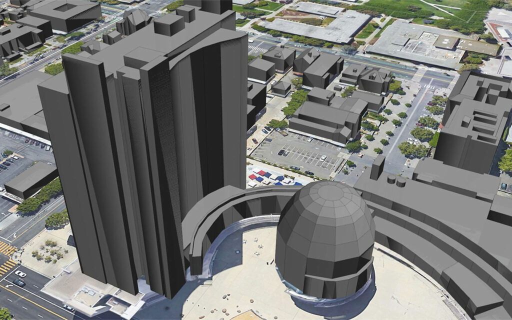
With over 30 years’ experience serving commercial, defense and geointelligence industries, East View resources reflect rigorous accuracy standards and specifications. We offer a variety of resources including digital elevation models, city models, land use/land cover data, orthoimagery, 2D vector data, and more.
Multi-Purpose Data
Fit for virtual reality/augmented reality experiences, command and control center intelligence, or project and mission planning, our extensive portfolio of geodata products satisfies the precise needs of the simulation and training community.
Feature Capture & Digitization
East View delivers digitization services for transportation networks, land-use, building footprints, hydrography and elevation features, administrative boundaries and an assortment of other cultural and physiographic layers.
Realistic & Accurate
The need for accurate and credible input data layers is imperative to creating realistic digital environments. We have the core data necessary for compiling digital geospatial environments and visual databases for simulation, terrain analysis, emergency response, and more.
Modeling & Simulation Solutions