GEOSPATIAL DATA
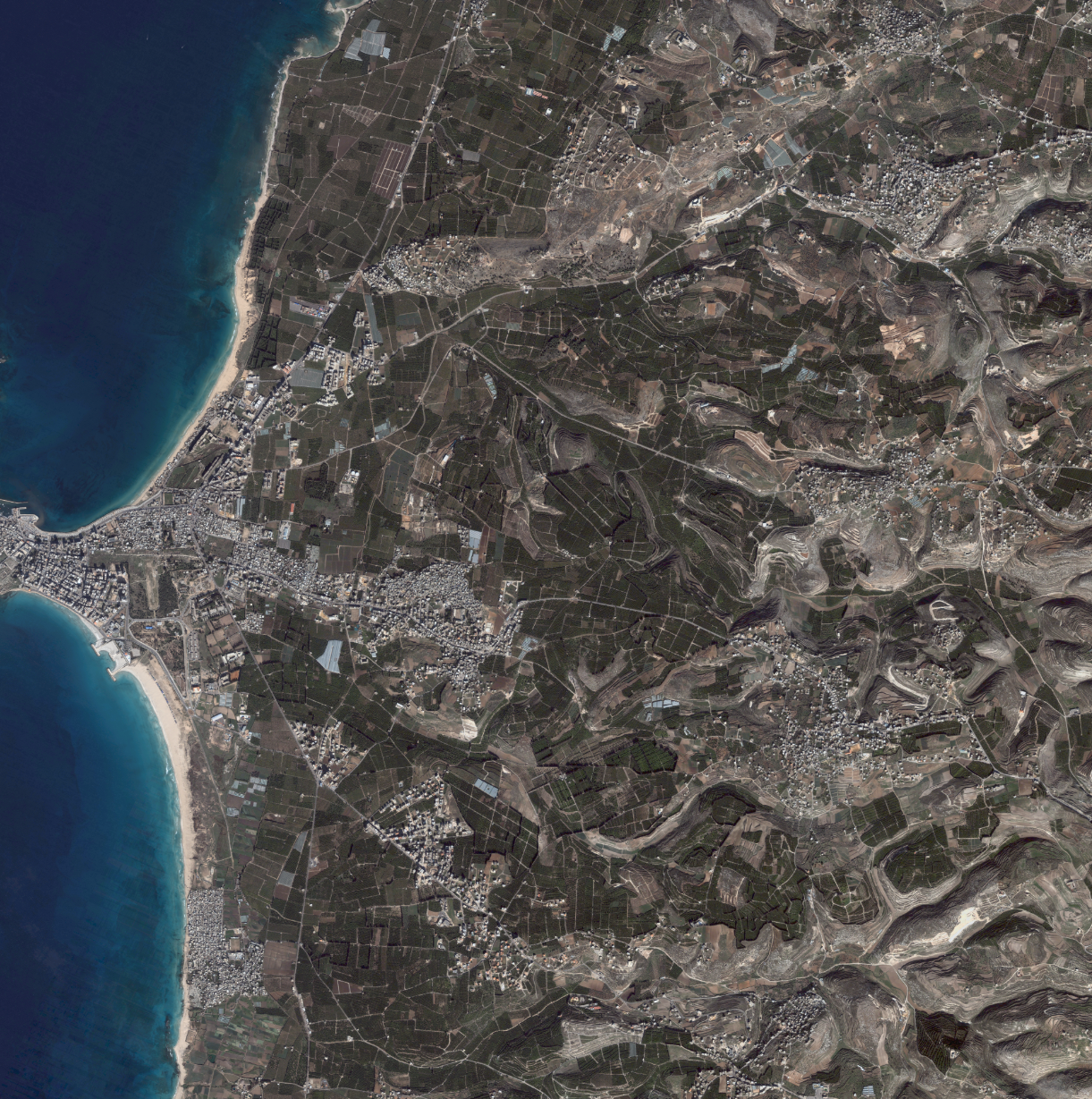
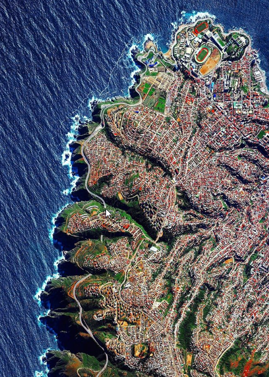
Imagery & Remote Sensing
Imagery options are endless, but East View Geospatial makes it easy by identifying the best solution for your needs and providing a variety of options.
Your Centralized Source for Satellite Imagery
We are an established reseller for many commercial satellite and aerial imagery companies. With access to a large network of active sensors, we regularly task the collection of new imagery and can work with you to determine the right imagery options at the right price. If you are looking to the past, we have access to extensive image archives.
Customized Imagery Acquisition
We facilitate the acquisition of a wide variety of satellite and aerial imagery from a global network of data providers. We work closely with clients to understand their specific requirements and procure the most suitable imagery to meet their needs, whether it’s high-resolution satellite imagery, aerial photography, or specialized data collections.

Archive and Historical Imagery
With our extensive data archives, we offer access to historical imagery collections, enabling clients to analyze past conditions, changes over time, and trends. This is particularly valuable for applications such as environmental monitoring, urban development studies, and historical research.
Get the most out of your imagery. We offer a comprehensive range of services tailored to meet the diverse needs of our clients, including orthorectification, pan sharpening, image clean up, GCP integration, and more.
Spotlight On
SAR & LiDAR Data
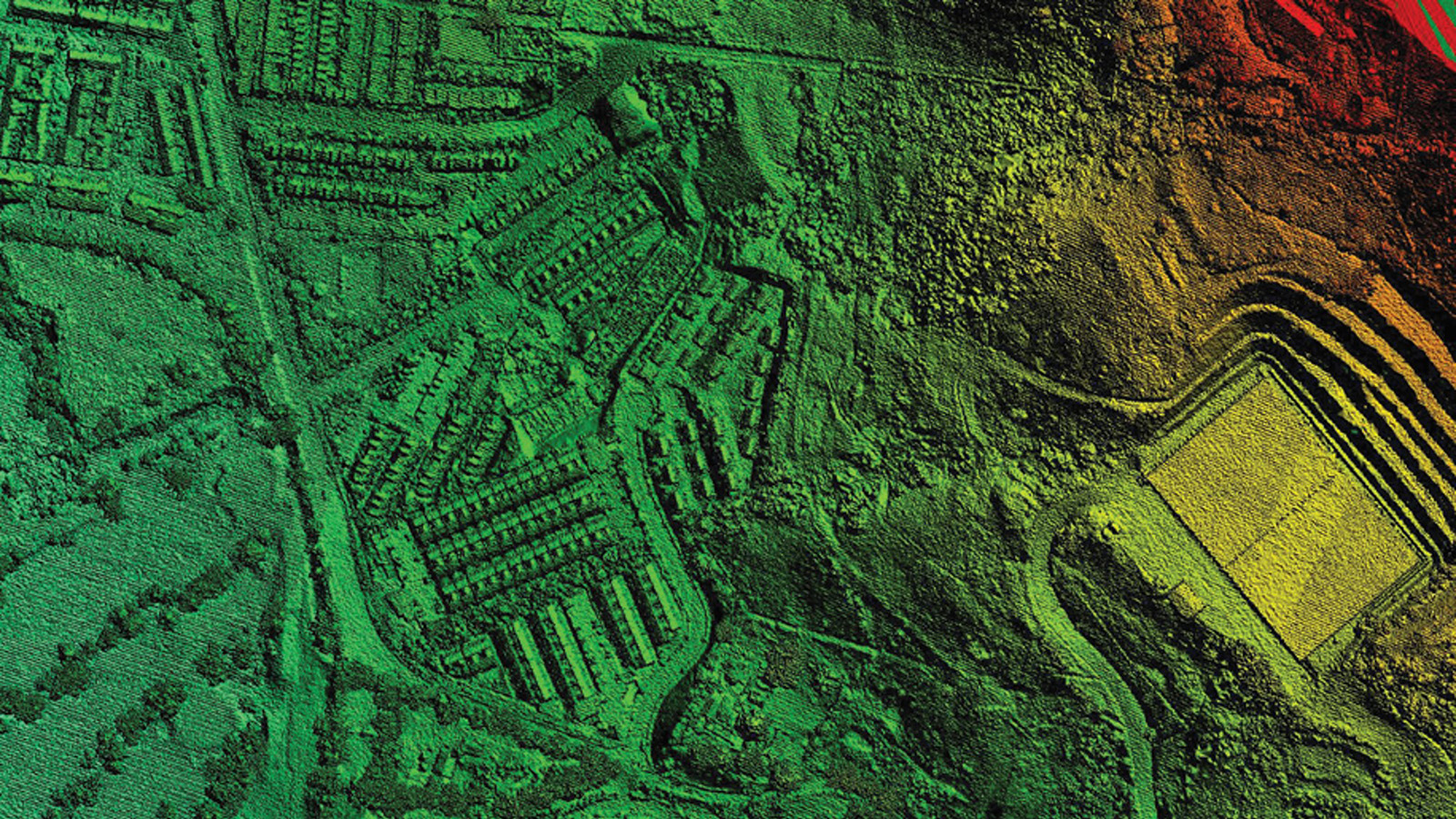
In addition to imagery, we collect and process Synthetic-Aperture Radar (SAR) and Light Detection and Ranging (LiDAR) data. Unlike traditional optical imagery, SAR and LiDAR use radar systems to capture images of the Earth’s surface regardless of weather conditions, cloud cover, or daylight. SAR and LiDAR data are a useful alternative to optical imagery, particularly for change detection and monitoring efforts and for generating detailed terrain models.
Our Imagery Partners