GEOSPATIAL DATA / POPULATION & THEMATIC DATA
Terrain Analysis Series
Enhance your understanding of an area with detailed terrain analysis reports in English.
Detailed Local Geographic Data
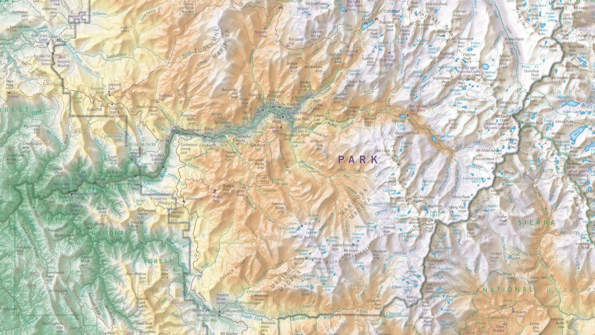
East View’s Terrain Analysis Series utilizes the terrain analysis reports found on the verso side of the 1:200,000 scale Russian military topographic map series. These reports, drawing on detailed on-site surveys and long-term observations, provide an in-depth synopsis of essential geographic information for the country or region covered by the topographic map sheets.
More Data. More Insights.
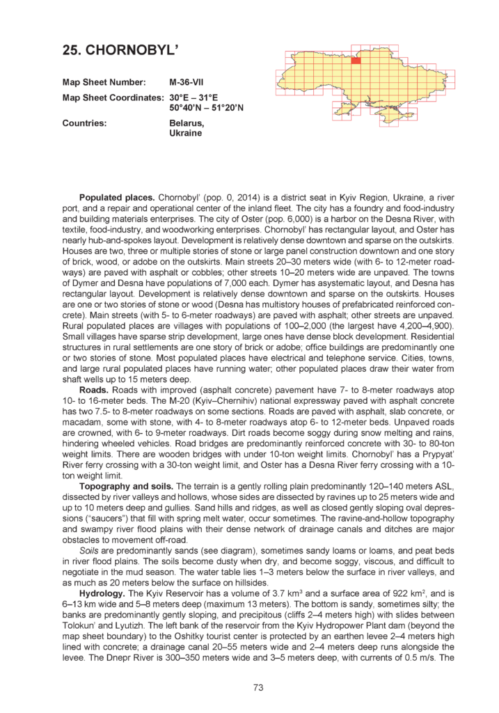
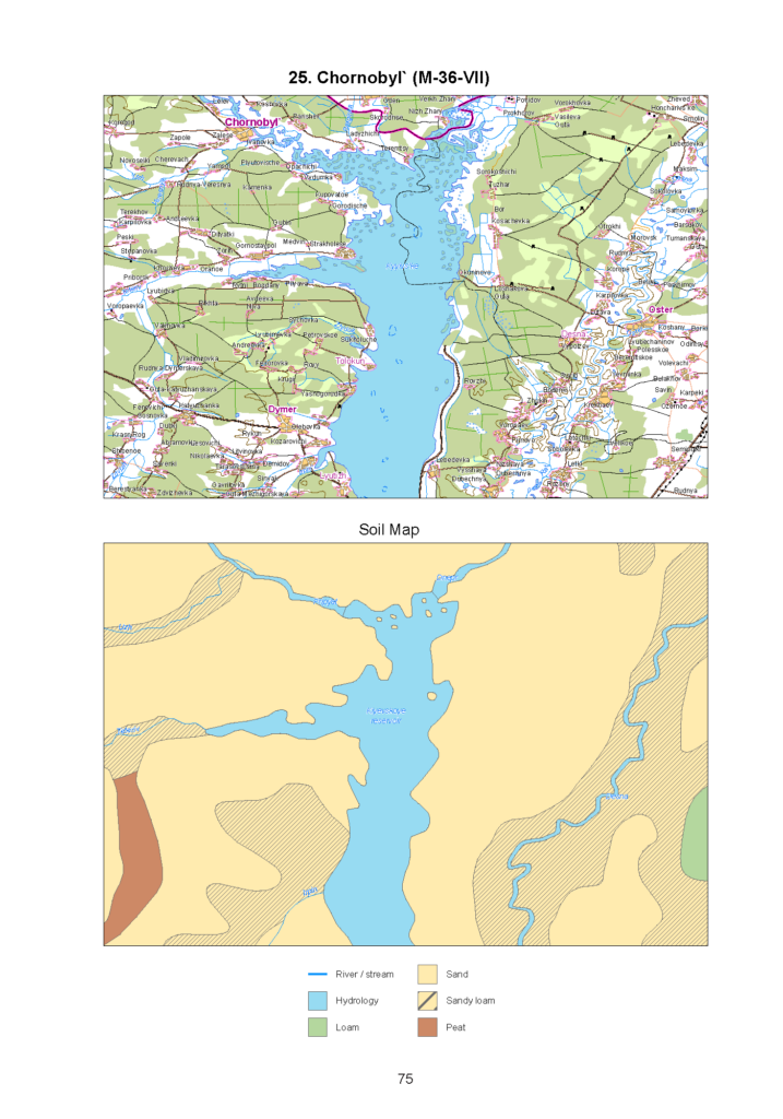
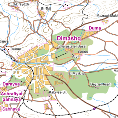
Each volume in the series is composed of individual reports analyzing the terrain and relevant geography of a single 1:200,000 scale map sheet. The reports feature thousands of geographic place names translated into English in accordance with the U.S. Board of Geographic Names standards, alongside a full-color small-scale overview topographic map and soil map of the specific region under examination.
Current Terrain Analysis Series Coverage
- China* (1,615 map sheets)
- North Korea* (34 map sheets)
- Afghanistan (128 map sheets)
- Jordan (26 map sheets)
- Syria and Lebanon (47 map sheets)
- Russia (2,043 map sheets, partial country coverage)
- Ukraine (154 map sheets)
*China and North Korea include translations of the reports only; overview topographic and soil maps are available upon request
Note: Terrain analysis reports are available globally wherever there is coverage by the 1:200,000 Russian military topographic map series. If there is a country or region you are interested in, please contact us to discuss availability and status.
The Terrain Analysis Series is part of Global Geography Library, presented on a specially designed digital platform with robust filtering and search capabilities. Individual volumes are also available in print, online and e-book format from our publishing imprint, East View Press. XML data feeds are also available; please contact us for details.
The Terrain Analysis Series provides easy access to intelligence on:
Populated Places
Building characteristics, water resources, housing density, sanitary conditions, telecommunications infrastructure, and population levels
Roads & Bridges
Load capacities, surface type (e.g., dirt, gravel, asphalt) and width, elevation and seasonal conditions
Topography & Soil Conditions
Altitude and slope characteristics for local terrain, types of soils (e.g., sandy, clay), and water tables
Hydrography
Major rivers, widths, depths, and flow rates, banks/islands, silting, freezing, pollution, and conditions affecting use
Vegetation
Grassy, forested shrubs, tree heights and types, predominant types of grasses, and crops cultivated
Climate
Temperature range by season, snow, rainfall, and wind conditions
The Terrain Analysis Series is the ideal resource for:
- Peacekeeping Forces
- Humanitarian Organizations
- Embassy Personnel
- Regional Analysts
- Reconstruction Specialists
- Local Authorities
- Geographers and Earth Scientists
- International Business Community