SOLUTIONS / DATA DELIVERY & MANAGEMENT
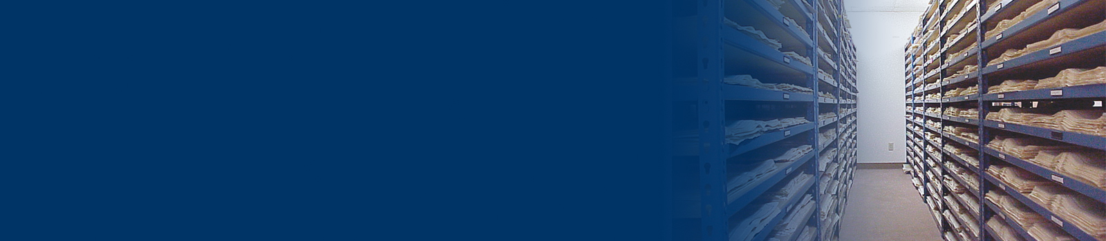
Digitization & Hosting
Whatever the current status of your collections, East View Geospatial can help maximize access and discoverability for your resources. We handle the entire digitization, conversion and hosting process, consulting with you every step of the way to make sure the end product is customized to suit your exact needs.
Ready to start your own digitization project? Use the inquiry form below to get started.
Proven Track Record
East View has worked with a variety of institutions on digital conversion/hosting projects, including university libraries, academic consortiums, corporate libraries, and large organizations such as state archives, publishers and foundations. Original primary documents are treated with the utmost care to make sure that rare, fragile or one-of-a-kind items are preserved intact wherever possible.
Full Range of Services
East View offers a full range of services for digital conversion and hosting:
- Wide format high-resolution scanning and OCR processing
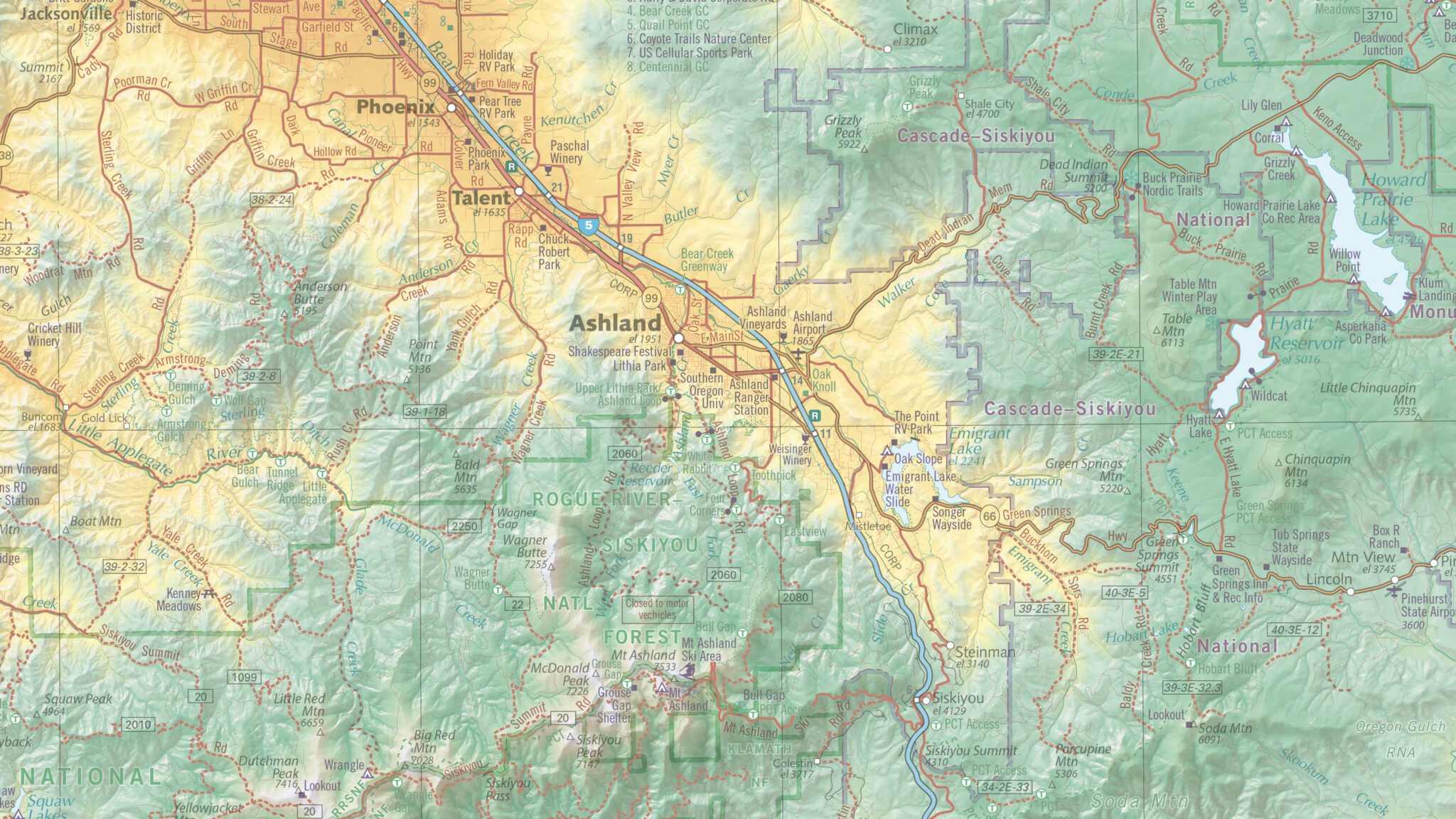
- Map and aerial photography, georeferencing, cropping, and mosaicking
- Format conversion
- Data/feature extraction
- Sourcing materials to complete collections
- Custom metadata creation, MARC records
- Rights diligence
- Archival preservation
- Platformization and hosting for long-term online access
Digitization Inquiry Form
Do you have materials that need digitization, conversion, or hosting? Use the form below to describe your needs and we can discuss customized solutions.