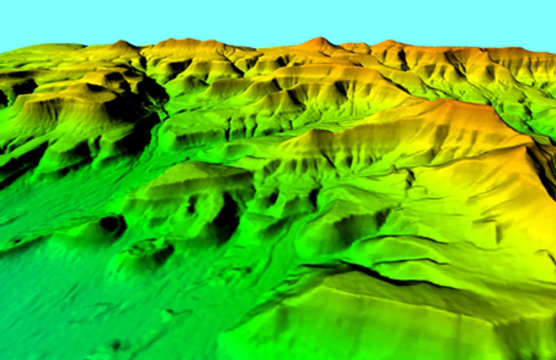
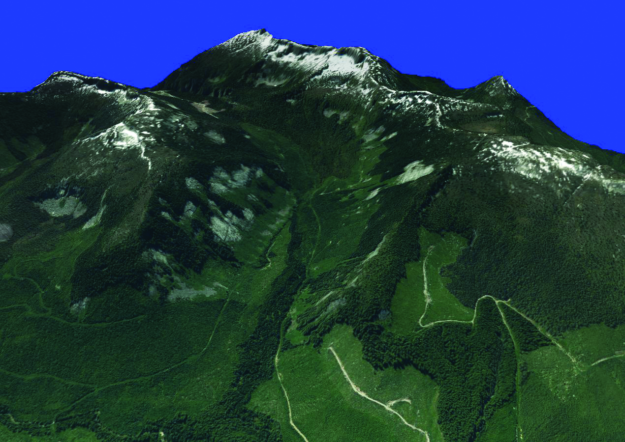
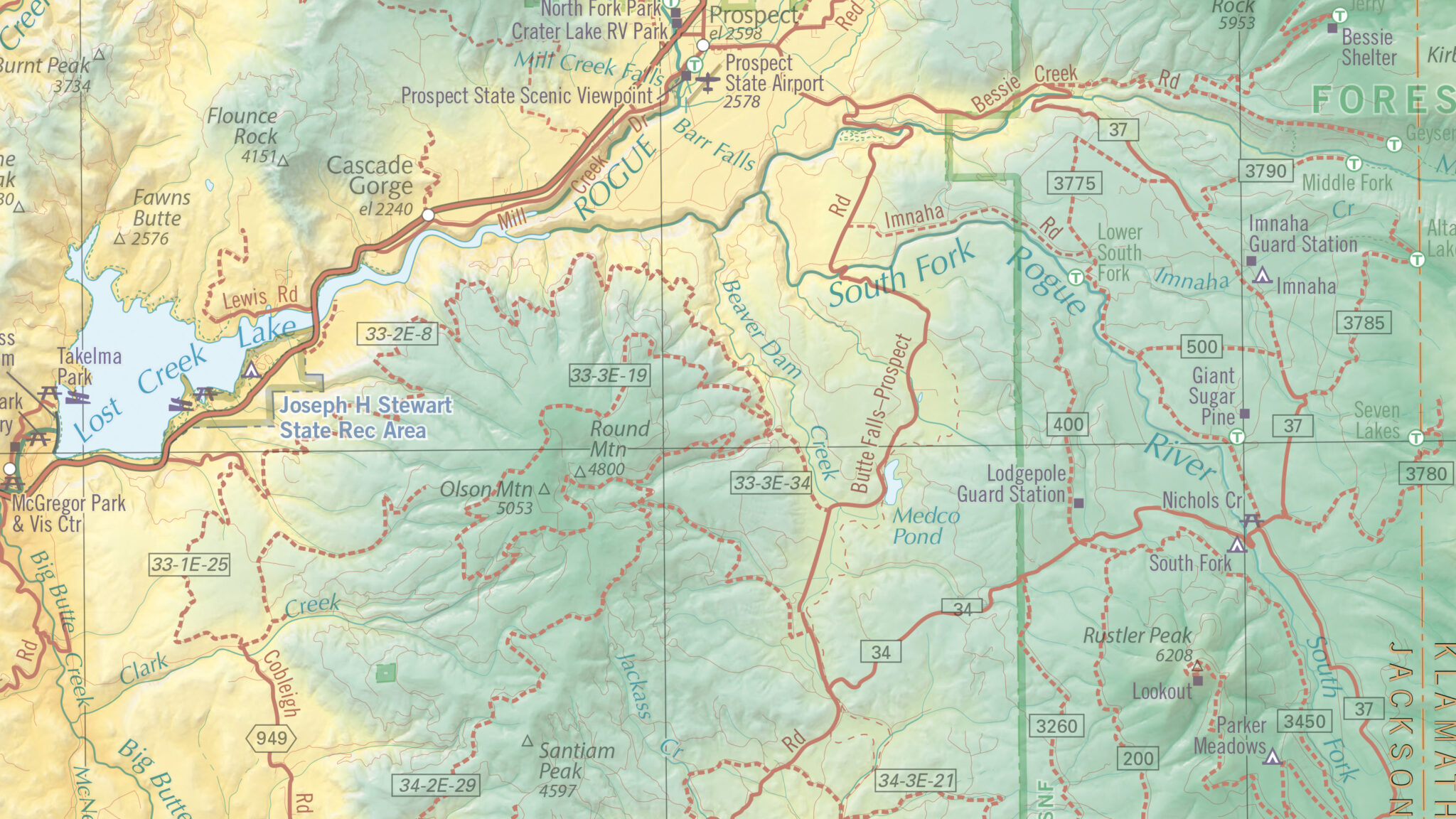
East View Geospatial is your trusted source for accurate and up-to-date Digital Elevation Models (DEM). With global coverage at a variety of resolutions, we have the perfect elevation model for your specific needs.
Accurate Models Ready for Analysis
We provide off-the-shelf and custom produced elevation models using a variety of photogrammetric techniques, including stereo-pair imagery as well as Synthetic Aperture Radar (SAR) and Light Detection and Ranging (LiDAR) datasets. Our own CartoDEM series leverages our massive collection of topographic maps from around the world, allowing us to turn contours into accurate DEMs. Additionally, we are a licensed distributor of many of the industry’s leading DEMs, including AW3D, NEXTMap, PlanetDEM, Vricon, WorldDEM, and others.

Terrain Models (DTM)
Terrain models depict a bare-earth surface, void of vertical objects such as trees and buildings. Common applications include Hydro-graphic modeling, engineering and construction planning, and natural disaster assessment and mitigation.

Surface Models (DSM)
Surface models capture the features protruding from the Earth’s surface, from man-made structures to vegetation. Common applications include telecommunications and radio frequency modeling, urban planning, as well as simulation and training applications.

Want to start leveraging elevation models in your organization, but not sure how? With experience serving numerous industries such as telecom, defense and intelligence agencies, energy and natural resources, and state and local governments, we can help define your use case and determine the right DEM for you.
Contact Us to discuss your DEM needs
Custom DEM Productions
When off-the-shelf data doesn’t fit your technical needs or budget, we create custom elevation models that satisfy your resolution and coverage requirements – developed and delivered with high quality at low costs. We build elevation models with a variety of data including topographic maps, stereo imagery, point clouds, and LiDAR.
Contact Us to discuss your DEM needs

