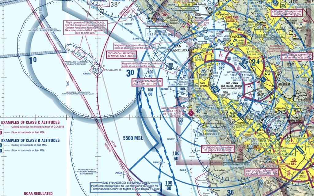
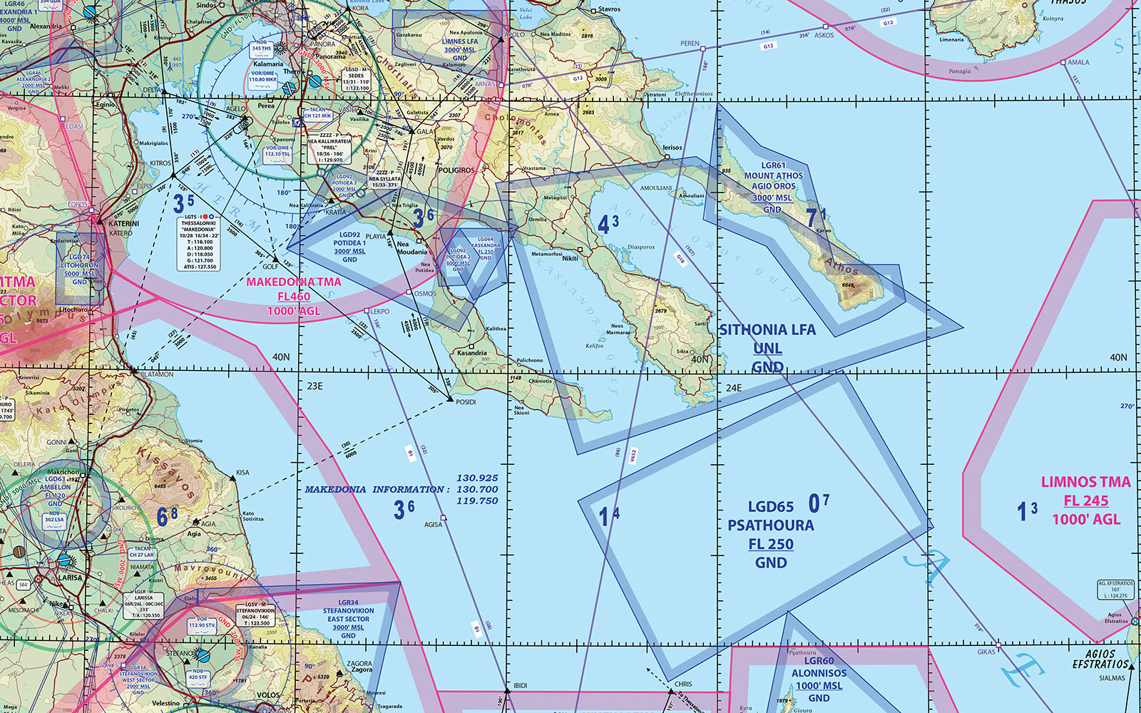
East View Geospatial supports the aerospace sector extensively with GIS resources to enhance various aspects of operations, from planning and design to navigation and analysis.
Optimizing Flight Planning and Navigation with GIS
GIS data enables aerospace professionals to create detailed and accurate digital maps that incorporate critical information such as airways, restricted zones, terrain data, and weather patterns. Pilots and air traffic controllers can use these resources to make informed decisions, optimize flight routes, avoid hazardous areas, and ensure safe and efficient travel.
Planning & Efficiency
East View utilizes precise spatial data to help optimize your workflows. Through integration with sensor data, we can even identify patterns and trends in equipment performance, helping to anticipate maintenance needs, reduce downtime and enhance operational efficiency.
Observation & Analysis
Satellites and remote sensing platforms generate vast amounts of geospatial data. East View can process, visualize and analyze these datasets, enabling users to assess changes over time, track natural phenomena and make informed decisions based on real-time information.

Aerospace Solutions


