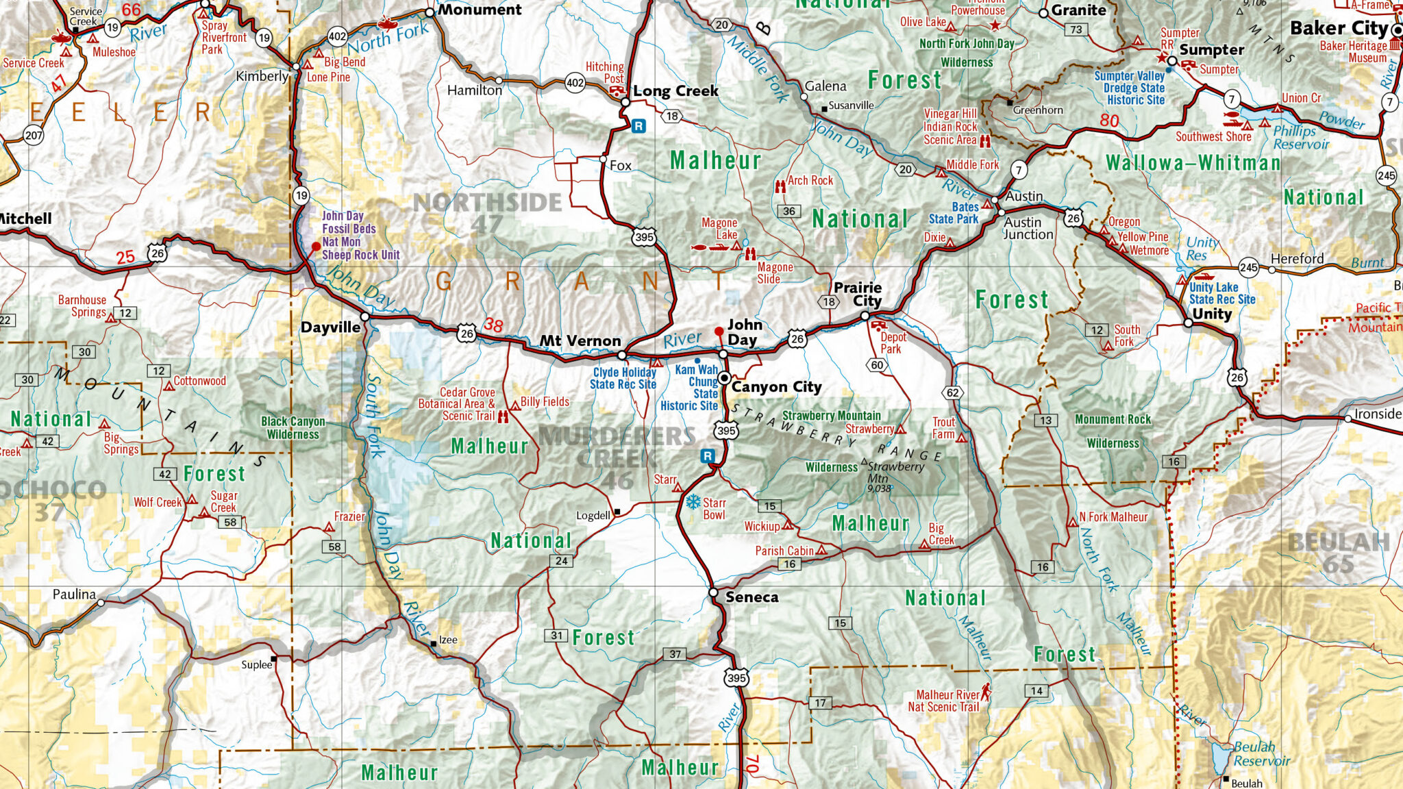
East View Geospatial has decades of experience in data extraction for a wide range of applications. Convert real-world environments into vector elements with principle attribute information to allow for complex analysis and new insights into spatial relationships.

Extraction Process
We begin by sourcing input items such as optical imagery, elevation models, topographic and other kinds of mapping materials. The raw source data is preprocessed to be fully and accurately georeferenced and rectified. Then, using various GIS techniques, spatial entities are converted into the vector data format. Points, lines and polygons are created to represent geographical features like cities, rivers and land parcels. Vector elements are then updated with relevant attributes.

Deeper Understanding
Attributes associated with each vector element, such as geographic names, functional classes, construction materials, or land use categories, are also captured and linked into associated database. These attributes become the basis for analysis and decision-making in GIS applications, enabling users to gain insights into spatial relationships, perform spatial queries, and create maps that facilitate better understanding of the real world.

Solutions
- Building databases (1D, 2D, 2.5D, 3D)
- Custom map overlays (nautical and aeronautical charts)
- Airport Mapping Databases (AMDB)
- Navigation data
- Land use/clutter data
- Water mask data
- Format conversions: CAD, fGDB, VPF and other formats
- And more! Check out our GIS Vector Data page for additional data types and solutions

Applications
- Cartography and mapping to create accurate and detailed maps for navigation, urban planning, and environmental management
- Natural resource management for assessing and managing natural resources such as forests, water bodies, and agricultural lands
- Infrastructure and facilities management to facilitate efficient infrastructure management, urban development, and impact of new construction projects

