Seamless Data Production & Integration
With a vast amount of data and variety of production options, East View Geospatial is the perfect production partner for a wide range of applications. Our talented in-house team of geospatial analysts and production specialists ensures high-quality, accurate deliverables, while our data formatting and conversion processes ensure seamless integration and consistency of GIS data across different platforms and applications.
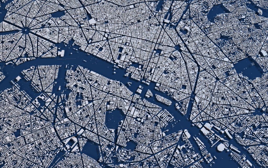
We excel in creating custom geospatial products tailored to specific customer requirements. We combine our expertise in geospatial technologies with client input to develop bespoke solutions, such as orthorectified mosaics, digital elevation models (DEMs), 3D visualizations, and thematic maps, ensuring that the products align with the specific needs and objectives of the project.
The Right Data. Your Format.
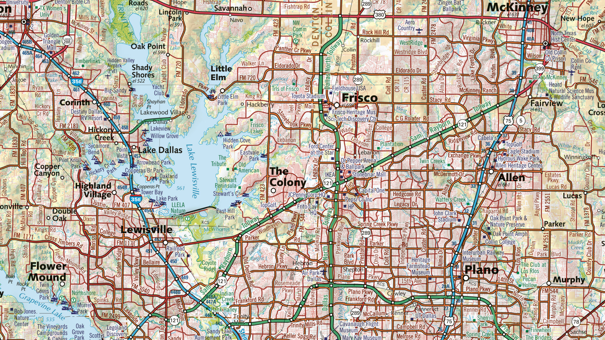
East View produces industry-specific data solutions and visually stunning maps tailored to your needs. From printed maps to visual databases for software developers, we are ready to deliver the right data and format for your application.

Data Production Solutions


