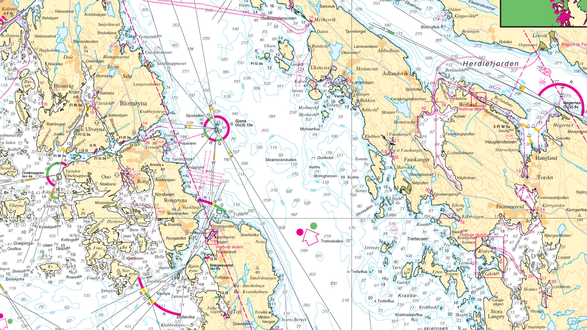
With a deep library of maps and robust network for sourcing new data, East View Geospatial is the perfect partner to fulfill your unmanned vehicle mission-flight critical source map packages.

The Right Source For You
Our holdings include well over 500,000 maps and terabytes of geospatial data – all ready to add to your unmanned vehicle program. Additionally, we source fresh data from aeronautical, hydrographic, topographic, and geological publishing agencies around the globe. Our team specializes in finding you the best solution and providing the license you need for your operation.

Drones
Since commercial and military drones arrived on the scene over a decade ago, East View has been contracted to procure, process, and supply source map packages for ground station use to support mission planning and flight operations. Work with our experienced team to assemble the right source map package for your application.

Solutions
- Mission and flight critical source map packages
- Imagery mosaics from 50cm to 10m – airports to oceans
- MapVault repository for archival source map packages

