Whether navigating the seas, conducting research, or safeguarding maritime resources, East View Geospatial is committed to providing the geospatial data you need.
Explore the World’s Waters with Confidence
East View is dedicated to serving a diverse range of professionals and organizations within the maritime industry. Our expertise and resources support mariners, engineers, academic institutions, defense and intelligence agencies, and many others who rely on accurate and comprehensive maritime data.
Charts Your Way
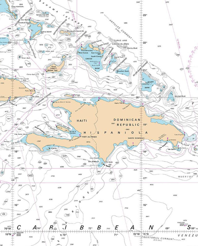
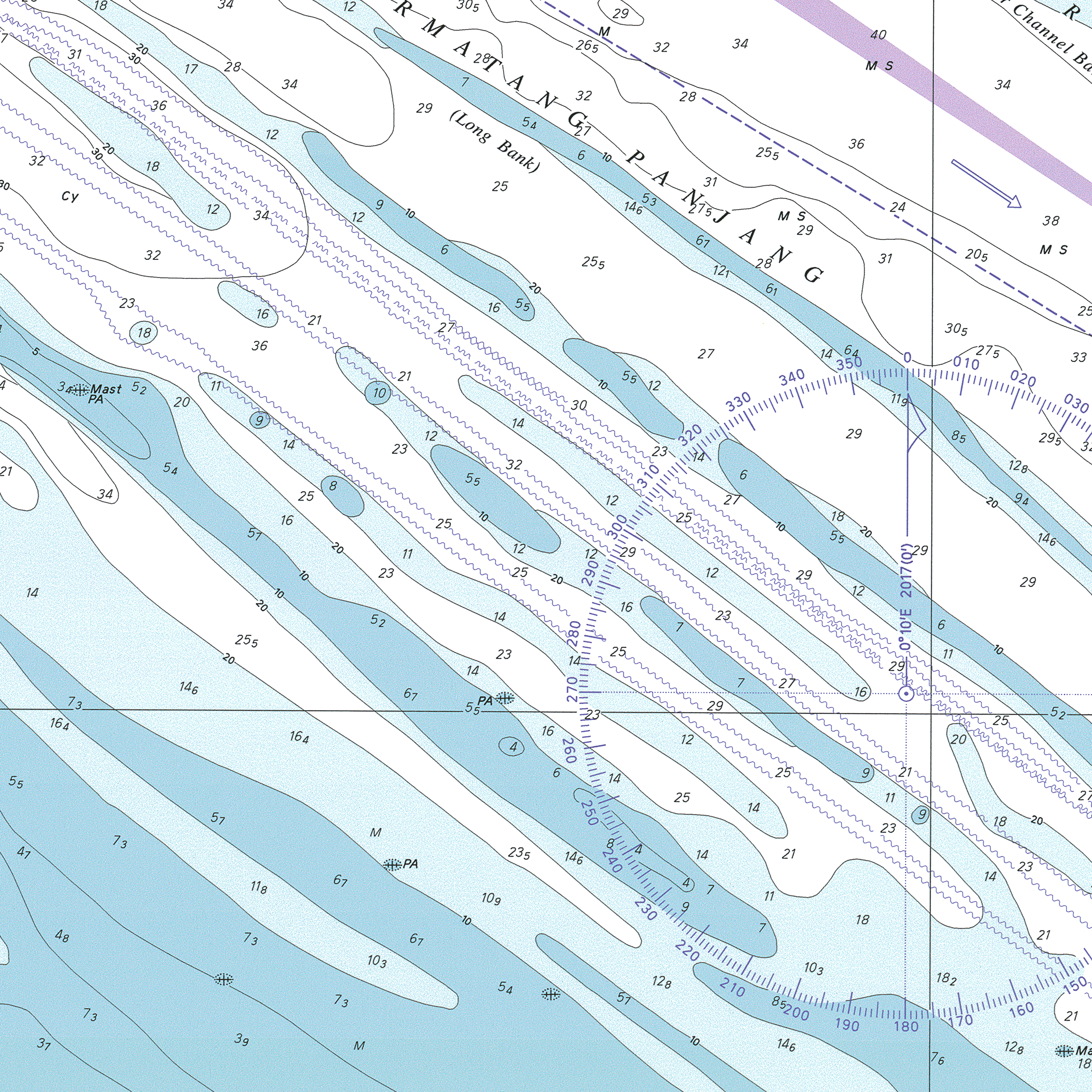
We provide high-quality nautical charts in both paper and raster formats, essential for navigation and operational planning. We network with hydrographic agencies worldwide to procure the latest nautical charts and other publications and are a certified print-on-demand partner for the world’s major hydrographic agencies, such as NOAA.


Wide Range of Vector Data
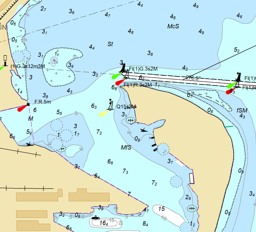
Our EVMaritime Vector Data is one of our latest offerings for non-navigational use, with updated content available on demand. We also offer global nautical datasets, Electronic Navigation Charts (ENC) in S-57 format, vectorized raster nautical charts, Automatic Identification System (AIS) data, and more.
Bathymetry Data
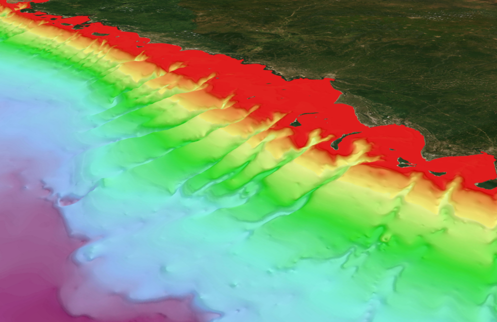
Our bathymetry data provides accurate underwater terrain and depth information which is perfect for navigation, marine research, and coastal management. With an array of data collection methods such as Single-Beam, Multi-Beam, LiDAR, and Satellite Derived Bathymetry, you can easily analyze seafloor features and ocean depths for tasks like route planning, hazard detection, and environmental monitoring.

Maritime Solutions


