Acquiring Data Made Easy
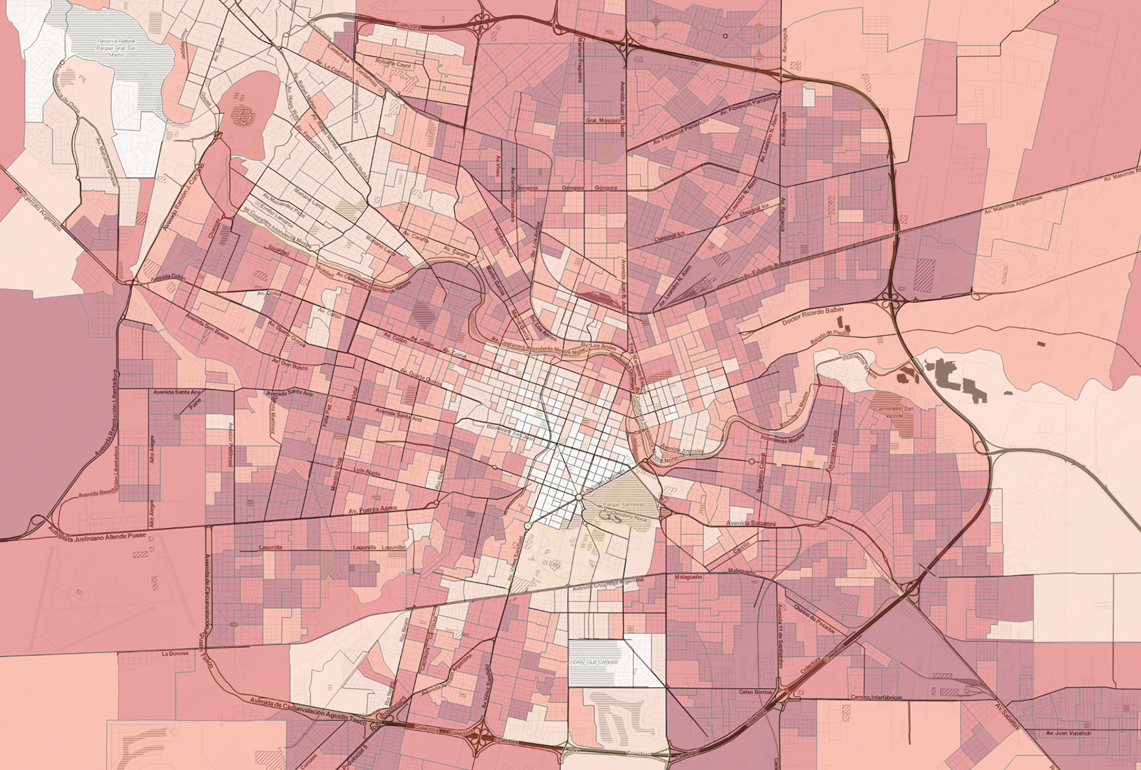
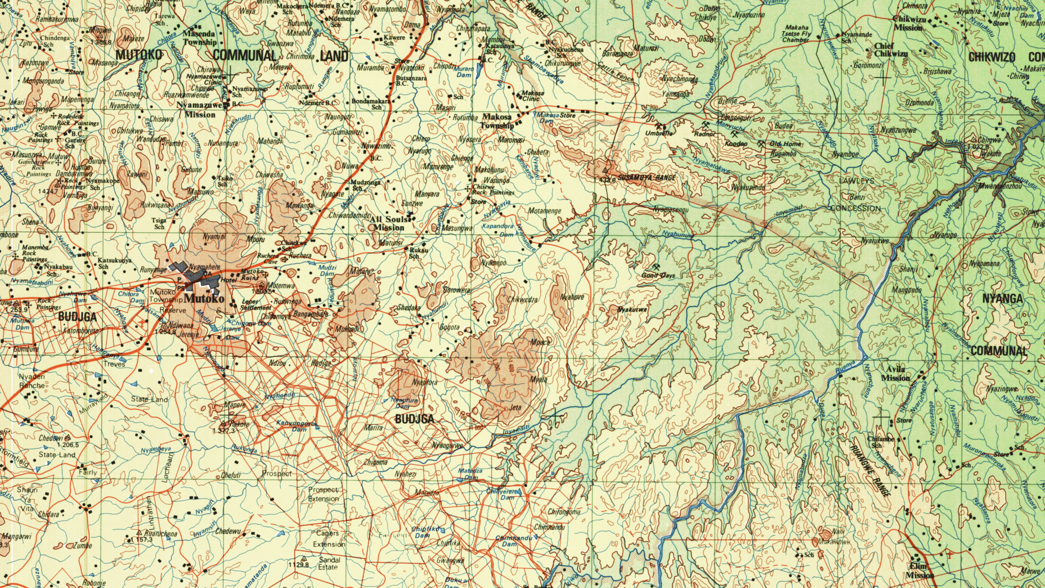
If you are overwhelmed with the technical requirements and the broad task of sourcing mapping information from a multitude of different countries, we have the resources to solve that. East View Geospatial’s proven workflow ensures seamless integration, consistency, and accuracy of geospatial data across different platforms and applications.

Sustained Procurement
Customers turn to East View to keep up with the ever-changing demand for different mapping products. Our team is a force-multiplier in that regard. We have years of experience procuring and updating data for businesses in international logistics, mining and natural resource exploration, defense and intelligence applications, and search and rescue operations.
Sourcing The Right Data
East View can efficiently source data from around the world. Our cross-continental relationships give us a cutting-edge advantage in procuring data that meets your needs. Beyond acquisition, we have the expertise to translate and validate data, which ensures freshness and accuracy of GIS databases. Consistent, reliably sourced data contributes to more accurate spatial analyses, better decision-making, and improved cross-cultural communication.
Data Acquisition Solutions


