East View Geospatial has the largest privately held library of geological and earth sciences materials in the world, including a vast collection of geoscientific vector datasets.
Your Centralized Source for Geoscientific Resources
Our ongoing field procurement across Africa, Europe, and Asia, along with strong relationships with national mapping agencies worldwide, means we can deliver a wide variety of authoritative and hard-to-acquire materials to support mineral and energy exploration and research across the world.
Browse available off-the-shelf geoscientific resources in Global Exlporer – our expansive online shop.

One Catalog – All Your Geoscientific Needs
We offer a wide variety of geoscientific resources. In addition to off-the-shelf data, we can procure authoritative data from across the world.
East View Geospatial will produce and deliver datasets in any format, and even translate content to a different language.
Our Geoscientific Offerings Include:
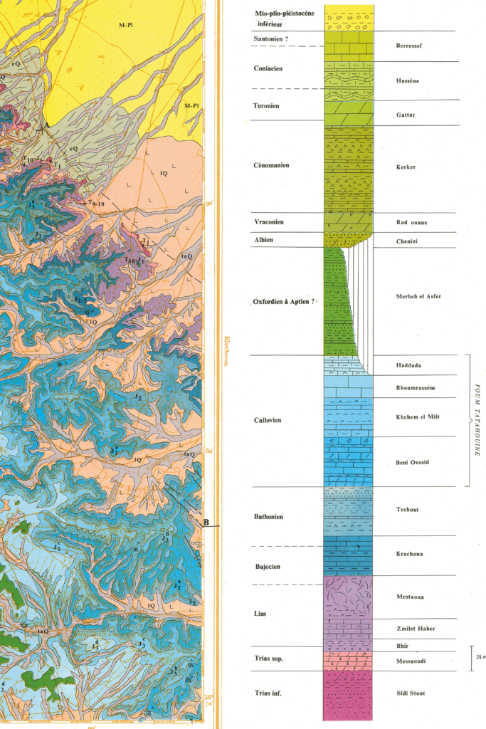
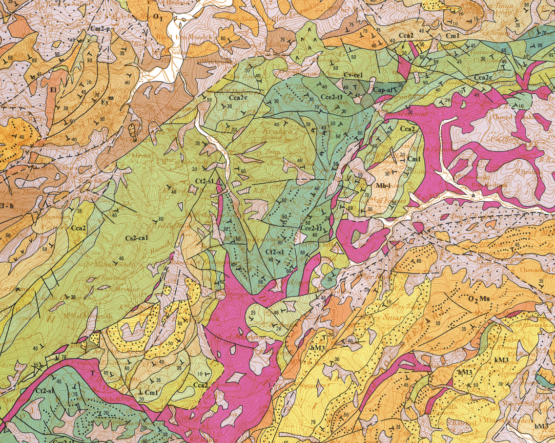
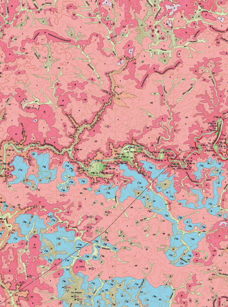
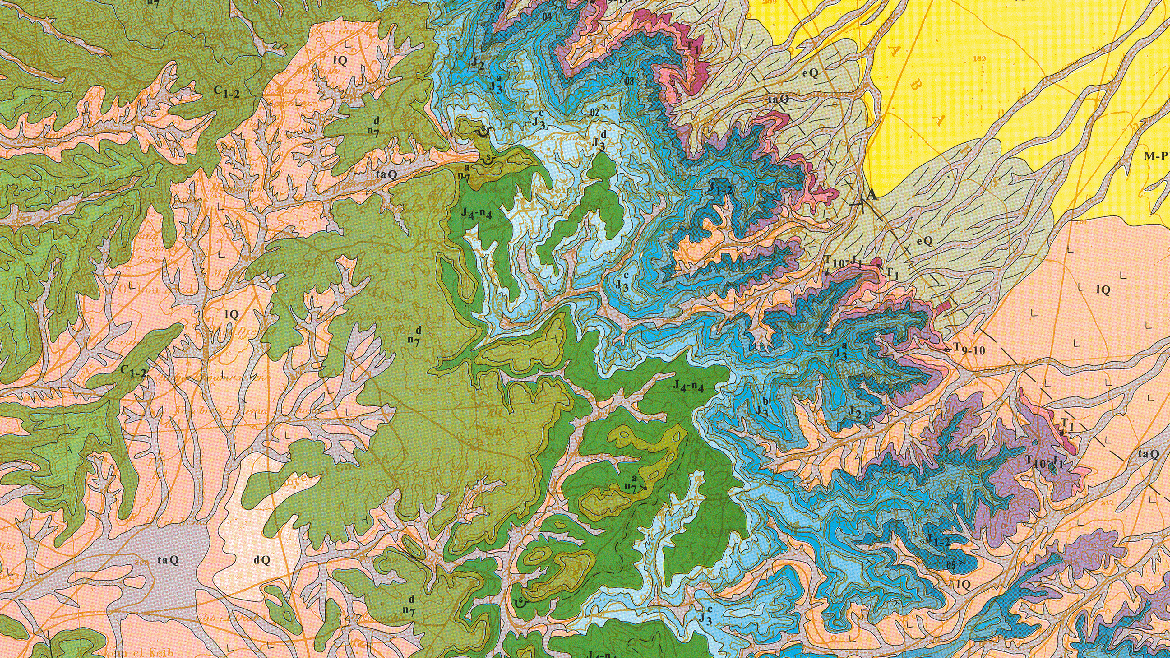
- Geological and mineral resource mapping, including pre-quaternary and quaternary
- All types of geophysical mapping including ecological, geochemical, gravimetric, magnetic, geomorphological, lithostratigraphic, bedrock and surficial geology, tectonic and seismic, landslide, bathymetric, hydrogeological, oil/gas prospecting, and more
- Explanatory notes (in native language and translation)
- Terrain analysis reports
- Soil and vegetation mapping
- Land use/land cover data
- High-resolution 3D terrain data
- Aerial and satellite imagery
- Large-scale topographic mapping
- Authoritative geographic boundaries and geonames

Spotlight On
Geological Vector Data

Geological vector data from East View Geospatial offers significant analytical value, providing a treasure trove of information (most in GIS format), fully exploitable by researchers and analysts. Typical deliverables include:
- Shapefiles for a range of geophysical data, including ecological, geochemical, gravimetric, magnetic, quaternary, tectonic and seismic, hydrogeological, topographic, oil/gas prospecting, and more
- Layout data: MXD/APR/CDR documents used for map compilation purposes
- Data dictionary; explanatory notes source materials; graphic, tabular and text materials (including analyses data); and regulatory documents
- English-language translation of data descriptions and other relevant content
East View Geospatial adds significant value to geological vector data, including database acquisition and normalization, data dictionary compilation, format conversion, and schema transformation (available upon request). Contact us to learn more about specific value-adds available at each scale of vector data.
Looking for a specific country or region? We have numerous full country vector datasets available off-the-shelf. Contact us to see what is available for your area of interest.
Services
We offer a comprehensive range of services tailored to meet the diverse needs of our clients, including:
- Sourcing and procurement
- Georeferencing, cropping, mosaicking
- Vector extraction
- Digital Terrain Model/Digital Surface Model creation
- Custom map and geodata production
- File transformation and conversion
- Imagery processing
- Digitization, preservation, platformization
- Print on demand
- Translation

