Geospatial Data / GIS VECTOR DATA / Maritime vector data
East View Maritime Vector Data
EVMV is designed to fit your workflow and geographic needs. Each dataset is structured for immediate injection into your GIS environment, reducing preparation time and accelerating project execution.
Authoritative Global Maritime Data for GIS
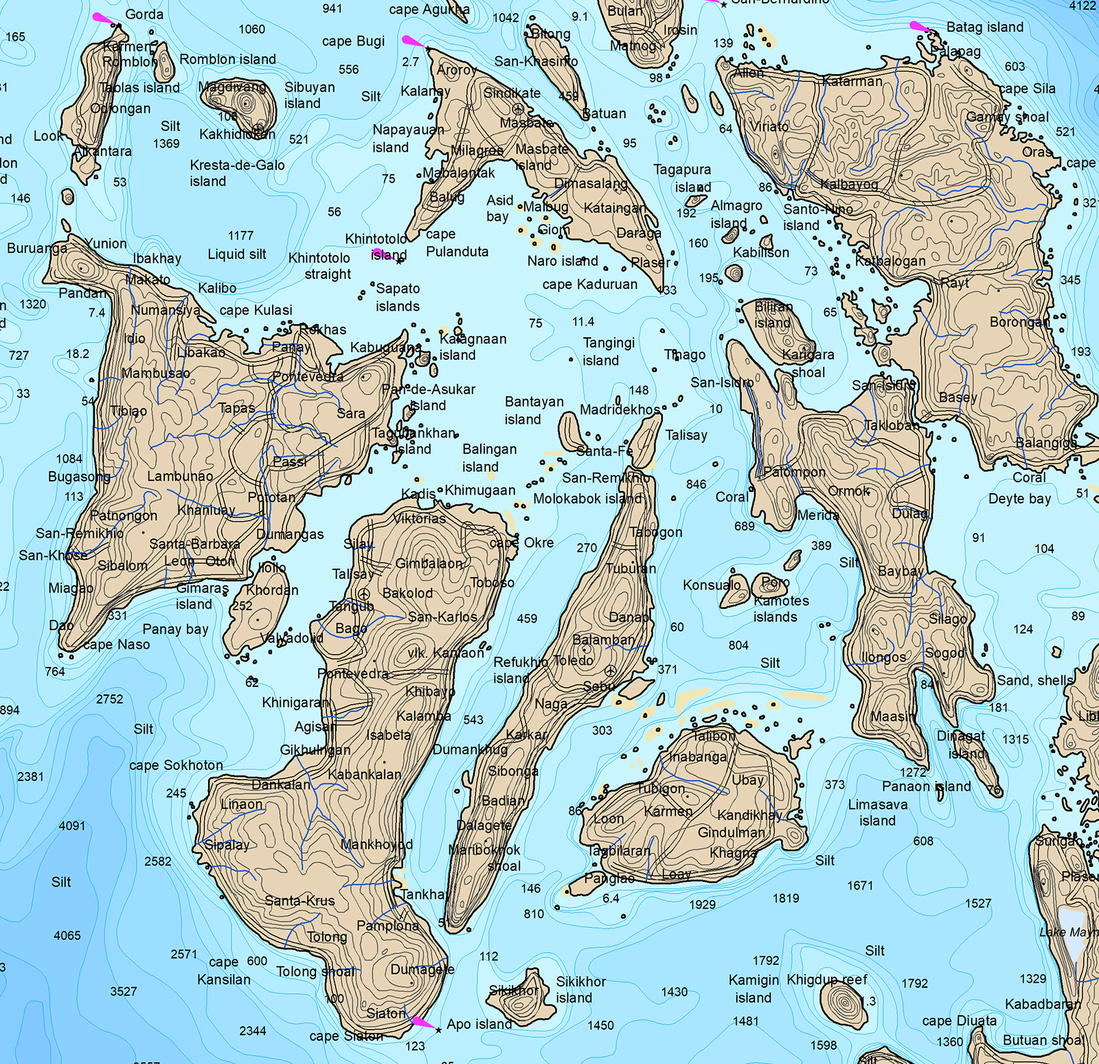
East View Maritime Vector (EVMV) databases provide high-quality, GIS-ready maritime data derived from official Hydrographic Office sources worldwide. Built primarily from Electronic Navigational Charts (ENCs), EVMV delivers consistent coverage of the world’s waters across a range of scales, assisting in analysis and informed decision-making.
spotlight on
Country Coverage
Explore our comprehensive coastal water intelligence across the world. Ideal for immediate analytics, planning, and research applications.
*East View Maritime Vector Data products not intended for navigation
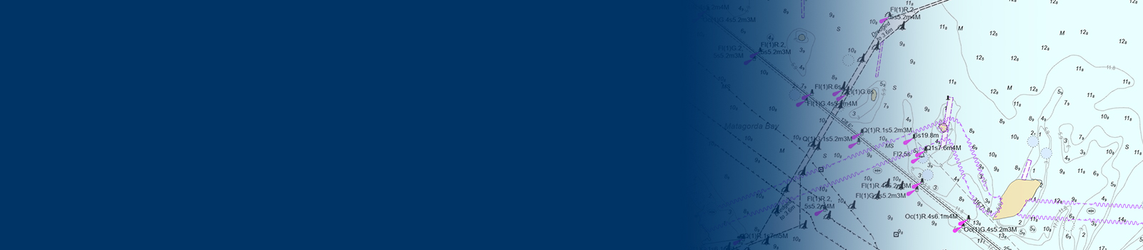
Actionable Data at Your Fingertips
EVMV provides organizations with marine geospatial vector data to support analysis, compliance, and operational decision-making across coastal and offshore environments.
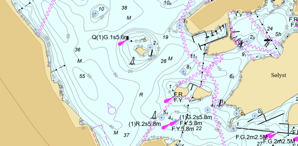
Seafloor & Water Data
Bathymetry, depth data, hydrographic, and oceanographic information
Coastal & Port Infrastructure
Coastline and shoreline features, ports, harbors, maritime infrastructure
Navigation & Operations
Navigational aids, shipping and traffic features, anchorage areas, operational zones
Risk, Regulation & Environment
Maritime boundaries, protected areas, hazards, obstructions, wrecks, subsea cables, pipelines
Flexible Delivery. Immediate Usability.

Our expansive maritime coverage can be broken down to your specific geographic requirements so you only get the data you need.
| Individual Cells | Target specific areas of interest |
| Regional Collections | Seamless coverage across defined geographies |
| Scalable Coverage | From local to coastal zones to global datasets |
EVMV is highly detailed and globally comprehensive, making efficient delivery essential for maximizing its value and usability. All EVMV deliverables are packaged for efficient deployment in GIS platforms and include pre-configured symbology and pre-applied labeling. Our standardized structure ensures consistency across datasets while minimizing the need for additional processing.