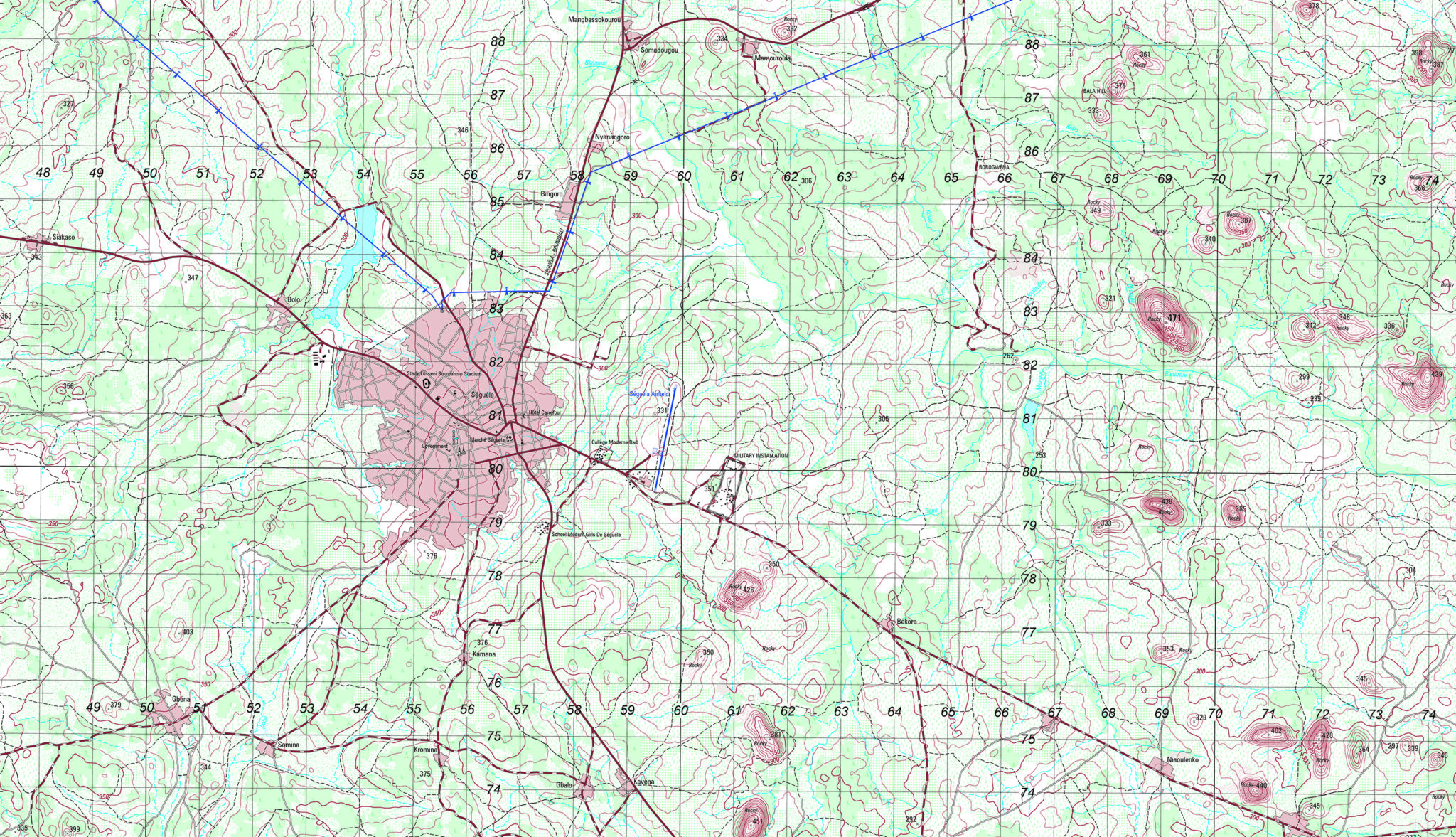
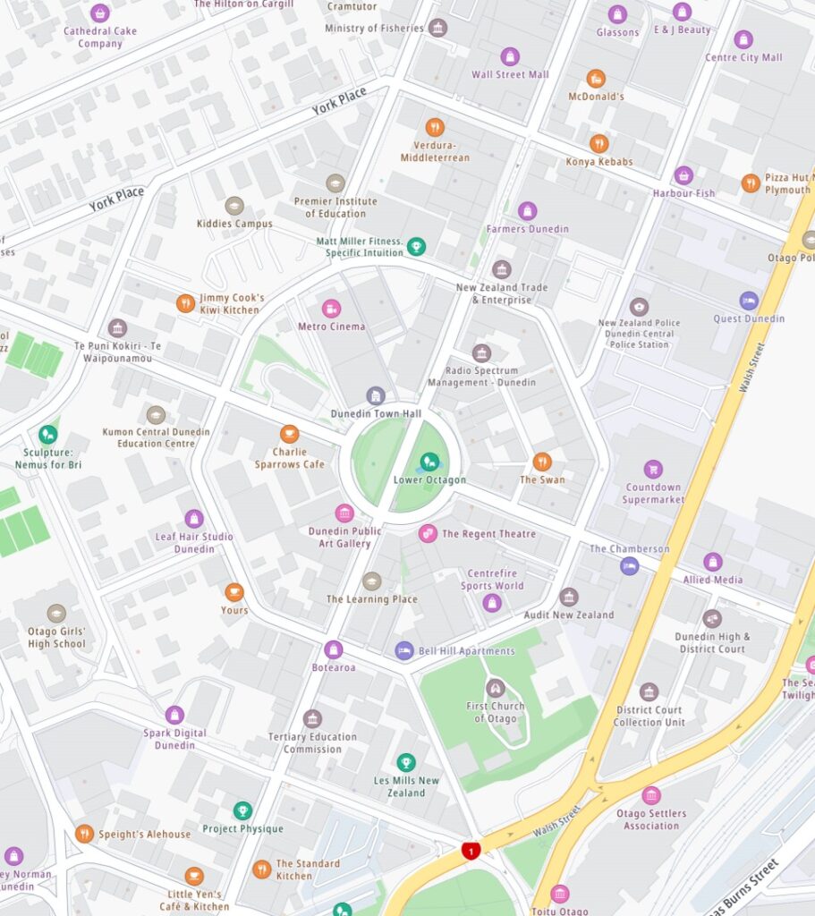
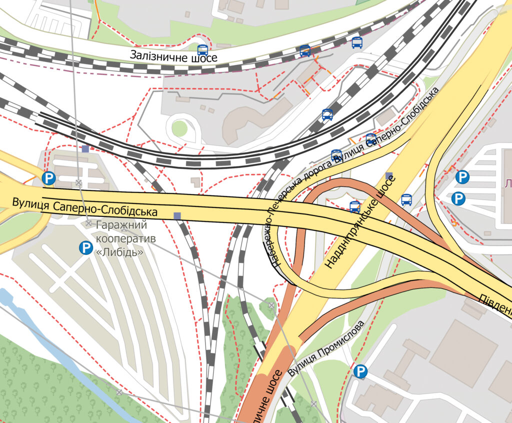
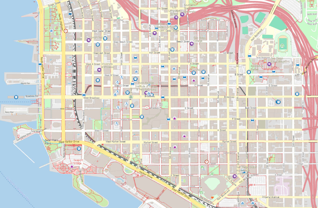
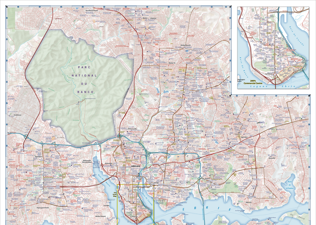
Geospatial Data / GIS VECTOR DATA
Global Vector Basemap
Authoritative, detailed global map data designed to support endless customization for any location in the world.
Detailed Foundation Data from Around the Globe
East View Geospatial’s Global Vector Basemap provides a GIS-ready plug and play solution ideal for use in creating a wide variety of geospatial output. Leveraging an open, interoperable foundation of map data powered by TomTom Orbis Maps – the most extensive global map database – East View can add, remove, and integrate your data as needed, providing a flexible futureproof foundation on which to build out your customized mapping content. From local to global coverage, this flexibility enables seamless integration, modification, and customization of data to create dynamic, up-to-date maps to meet your evolving needs.
Key Features of the Global Vector Basemap
- Global coverage in GIS vector data format; regional, country and custom AOI also available
- Combination of open and proprietary data sources – TomTom, OpenStreetMap, and other geospatial sources
- Rigorous quality and coverage checks
- Bi-weekly, monthly, annual updates
- Suitable for use at scales up to 1:1,000
- Transportation, cultural and landcover feature classes
- Add-ons for Traffic, Logistics and Geocoding available
- Global names gazetteer with exonyms
- Available to use offline or via a Web Map Service
- Includes cartographic styling for quick map rendering
- Delivered with ESRI ArcGIS Pro project package files
Spotlight On
Orbis Maps + EVG Solutions
EVG’s production and data management solutions help organizations make the most of Orbis Maps data:
- Customized PBF data conversion
- Schema and attribute management
- Local, regional, or planet-wide data extraction
- Customer data conflation and enrichment
- Cartographic and metadata services
Authoritative GIS map data designed to support endless customization and easy integration
GIS Vector Basemap
- Fully customizable visual specification
- Performance optimization (scale-appropriate data generalization and simplification)
- Vector tiles generation
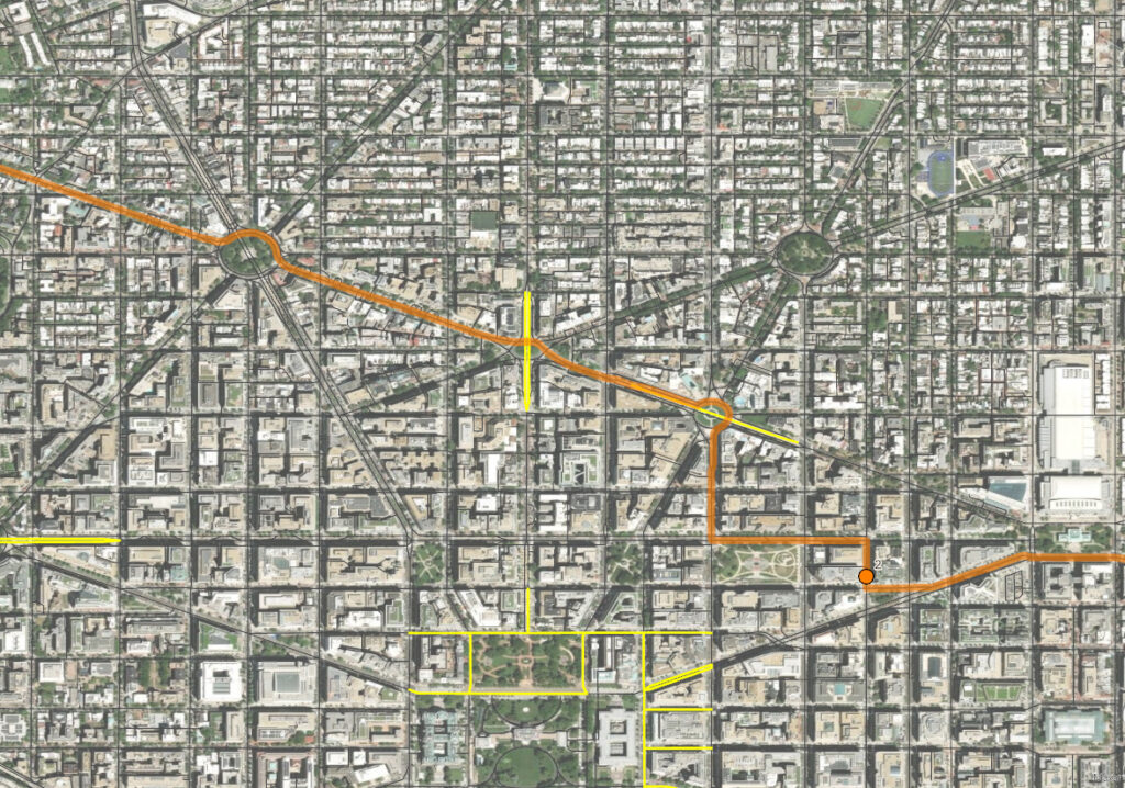
Map Creation and
Cartographic Finishing
- Rapid cartographic production
- Worldwide baseline availability
- Custom finishing specifications (including MIL-SPEC)
- Established transportation network, Places of Interest (POI) and geonames data
Traffic and Routing
- Logistics data
- Geocoding and geolocation
- Customizable Network Analyst ready navigation graphs
- Routing restrictions and per-segment cost assignment