The seas are constantly changing and accurate data is important for research and safe navigation. East View Geospatial provides authoritative vector data from accredited hydrographic offices.
Data for Exploring the World’s Waters
East View partners with hydrographic agencies worldwide to procure and maintain the latest nautical data utilizing bathymetric data, seafloor DEM modeling, hydrographic survey, training charts and other publications. We offer a robust range of maritime vector data products, including our own EVMaritime Vector Data product line, and can customize data to meet your specific needs.
Spotlight On
EVMaritime Vector Data
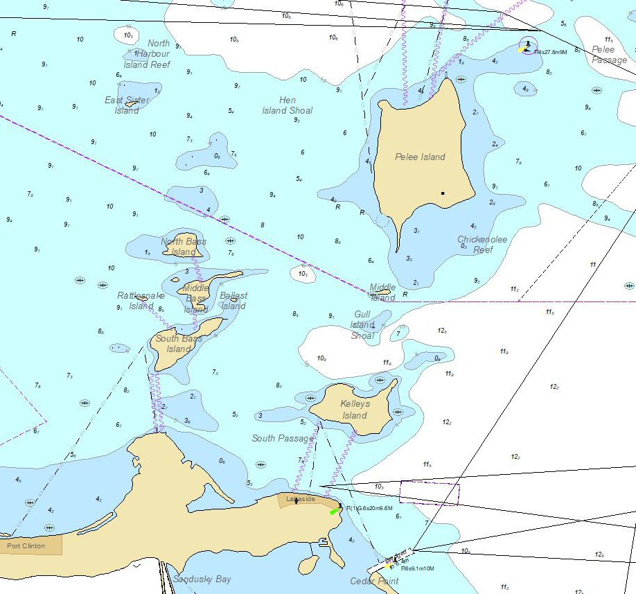
East View (EV) Maritime vector databases are derived from Electronic Navigation Charts (ENCs) and offer GIS-ready data covering the world’s waters in a variety of scales.
The vector products combine all ENC scales, without overlap, into one seamless mosaic of data, giving users the most detailed GIS database. The vector product is an Esri file geodatabase (.GDB) with schema, symbology, font, labelling, domains, and aliases fully applied.
EVMaritime databases are for non-navigational use and are well-suited to support the study of maritime and hydrographic aspects of climate change, boundary disputes and international security, biological and geological natural resources, green energy development, and the social sciences.
More Maritime Data
Contact Us to learn more or request sample data.
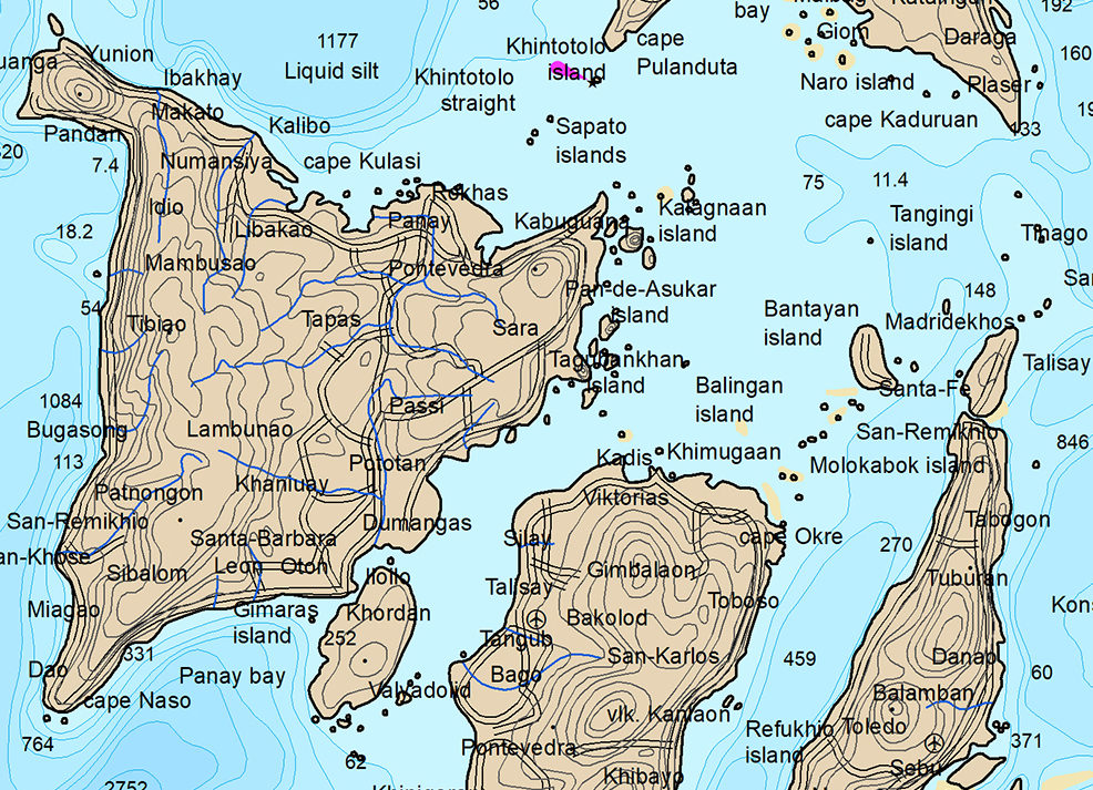
East View World Nautical Dataset 1:2,000,000 Scale
A comprehensive GIS dataset with coverage over the entirety of the world’s oceans, mainly at a scale of 1:2,000,000. The product is deliverable in a range of formats complete with attribution. Example of features include but are not limited to depth soundings, underwater cables, seabed descriptions, danger areas, tracks and routes, reefs, buoys, etc.
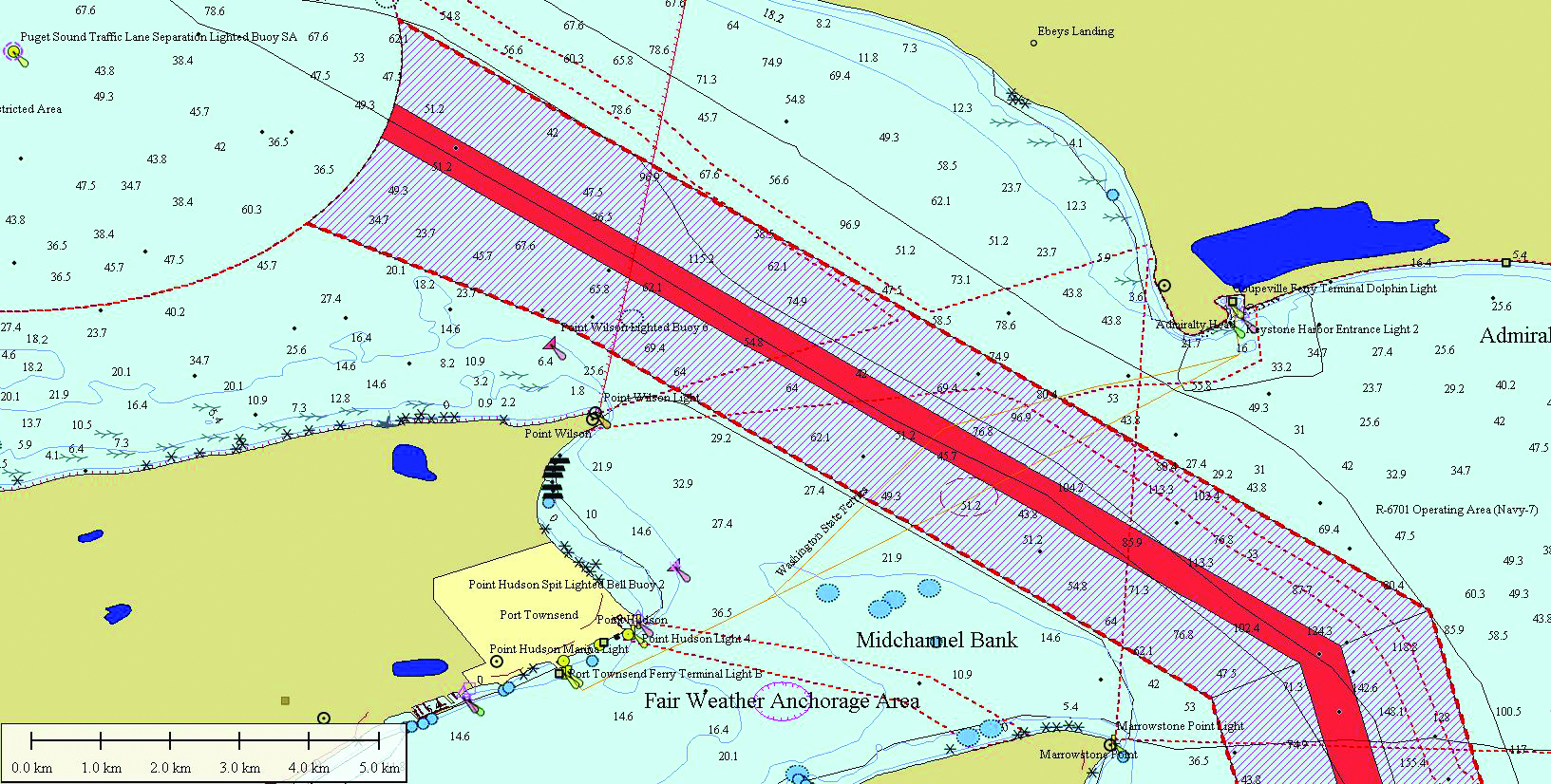
Electronic Navigational Charts (ENC)
A digital depiction of a real-world geographic area, initially designed for marine navigation and now also utilized in non-navigation tasks. These charts contain information about significant navigational and informational elements.
The S-57 format has long served as the standard for transferring digital hydrographic data, encompassing ENC data. This format is currently accessible in specific global regions and compatible with various GIS and vector-enabled environments.
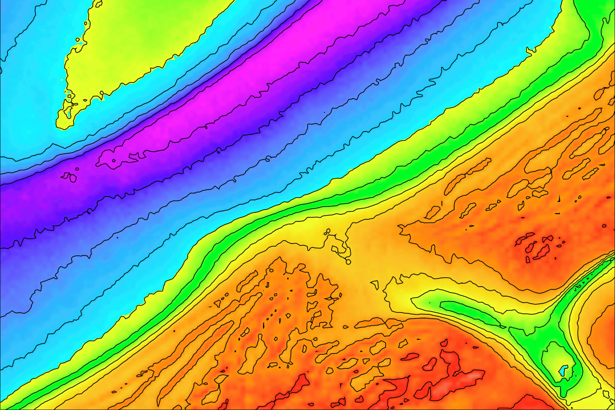
Bathymetry Data
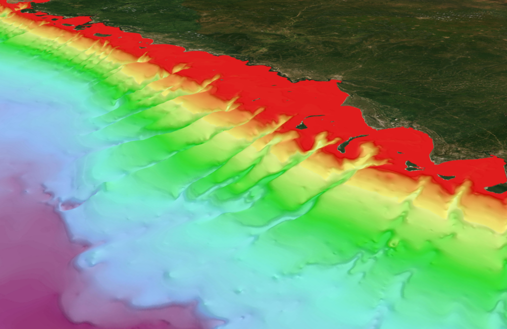
Bathymetry data represents the underwater or submarine topography of the world’s waters, including oceans, seas, lakes, and rivers. This data is provided by hydrographic offices throughout the world. Depending on the office/publisher, this data is available in a wide range of formats (raster/vector) and detail.
Featured Content: TCarta Space Based Coastal Mapping
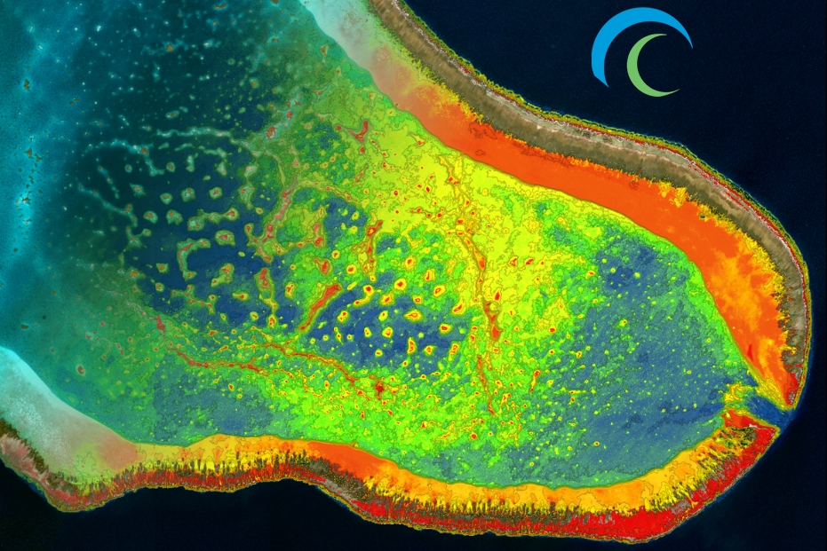
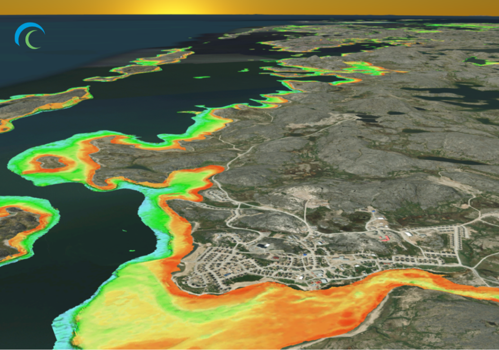
East View Geospatial proudly offers bathymetry data from TCarta, a global leader in satellite-based earth observations for near-shore areas around the globe.
Available off-the-shelf data include 10m Resolution Satellite Derived Bathymetry (SDB), an alternative to shallow water hydrographic surveys at a fraction of the cost of traditional airborne or seaborne surveys. SDB is readily available or rapidly produced with accurate depths up to 20m, and 30m in ideal conditions. This product holds high value across countless industries, including coastal engineering, oil and gas, maritime, environmental groups, government/military, and more.
TCarta’s 90m Global Bathymetry Product covers the world’s coastlines and beyond as a multisource, seamless bathymetry layer utilizing best available data, infilling gaps and providing context for industries needing accurate and easy-to-use bathymetric data. Global Bathymetry is used for survey reconnaissance, project scoping, hydrodynamic modeling, and exploration studies used across industries including insurance companies, oil and gas, and maritime.
Automatic Identification System (AIS) Data
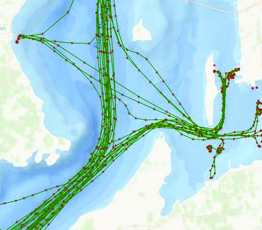
AIS is a technology for tracking and identifying vessels. It enables ships and maritime vessels to share their identity, position, course, and other information with other vessels and shore-based stations in real-time. East View collaborates with industry leading AIS data providers to deliver AIS data solutions, including the new S-AIS (Satellite Automatic Identification System) technology, which delivers continuous tracking of vessels and global coverage.

