WHO WE SERVE
Other Industries
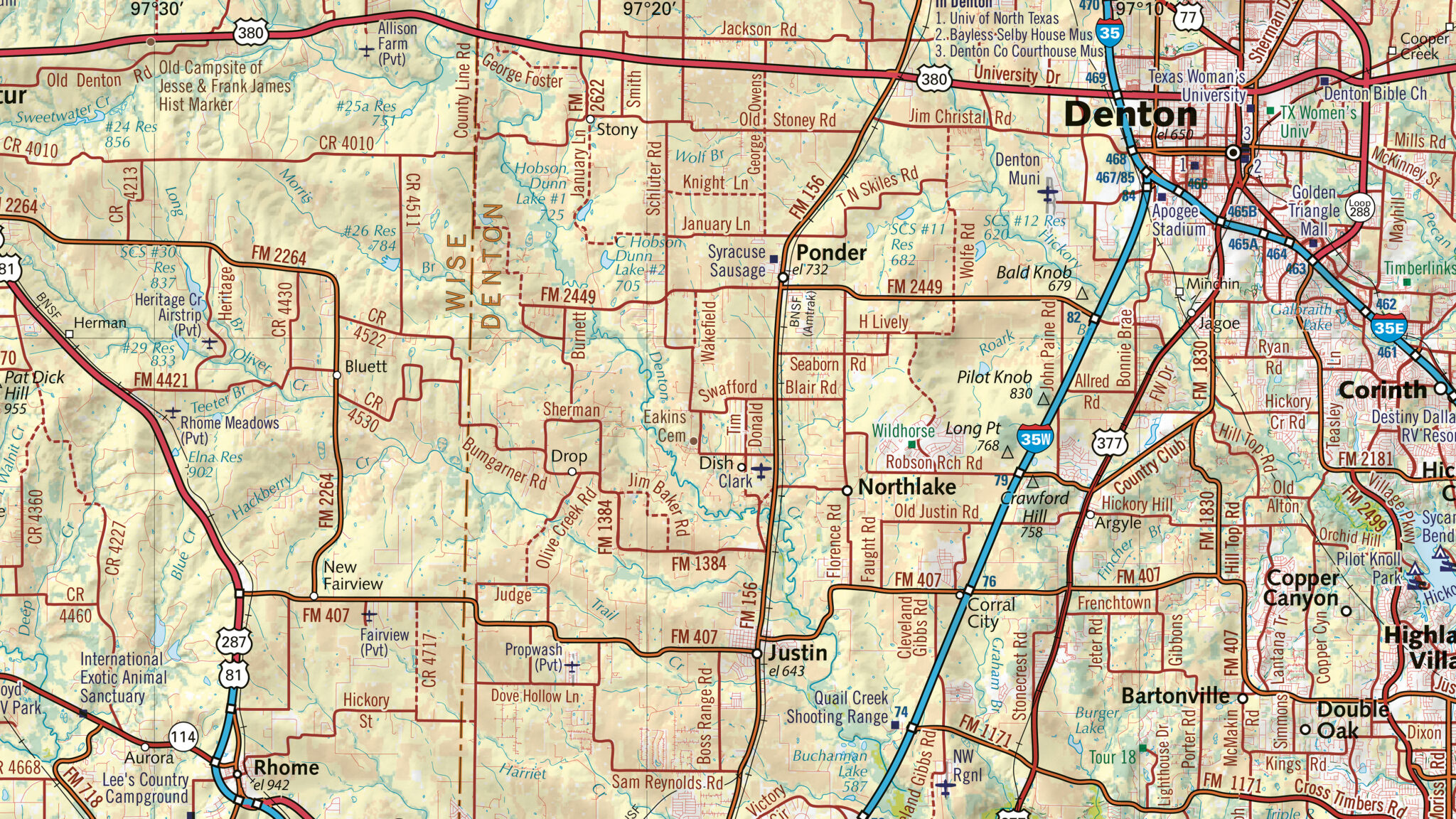
East View Geospatial has over 30 years of experience providing solutions for a wide variety of commercial industries.
Develop Business with Authoritative Maps and Data
Build and maintain your business with best-in-class geodata from East View. Choose from a variety of off-the-shelf products for immediate use or leverage our production team for custom datasets.
Engineering & Construction
Public and private sector designers, builders, supervisors, and operators for construction projects and systems need accurate data about their projects and site locations. East View’s products and services allow for more effective planning, construction, maintenance of design and engineering.
Media
Our maps and data have been used by a variety of high-profile media outlets to add impactful visual context to major news events. Our expertise, coupled with our vast library of assets and skilled production staff, assure any custom request is press quality and suitable for media support.
Telecommunications
East View supports Mobile Network Operators with digital geodata for radio frequency (RF) and network planning optimization. Our data sourcing and production capabilities make us your single source for authoritative geodata solutions, including high resolution terrain models, 3D maps and population data.
Wholesale & Retail
East View serves wholesale map distributors and retail stores with unique publications from around the world via East View Map Link, which works with hundreds of publishers worldwide and carries over 30,000 products. Partner with us to access a complete suite of cartographic products and services to keep you a step ahead of the competition.

Other Industries Solutions