Sign up to receive email updates on new and featured resources from East View Geospatial
May 2025 – Global Vector Basemap
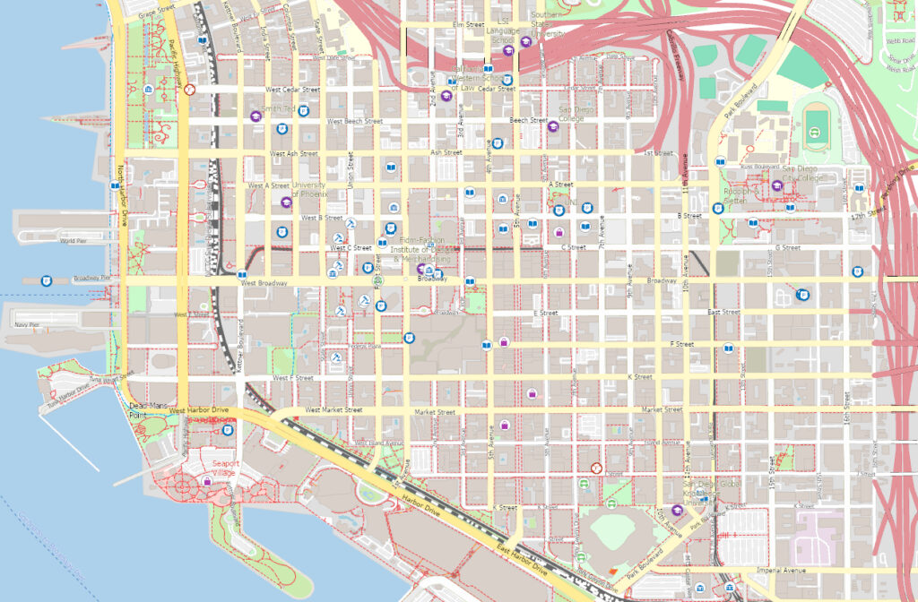
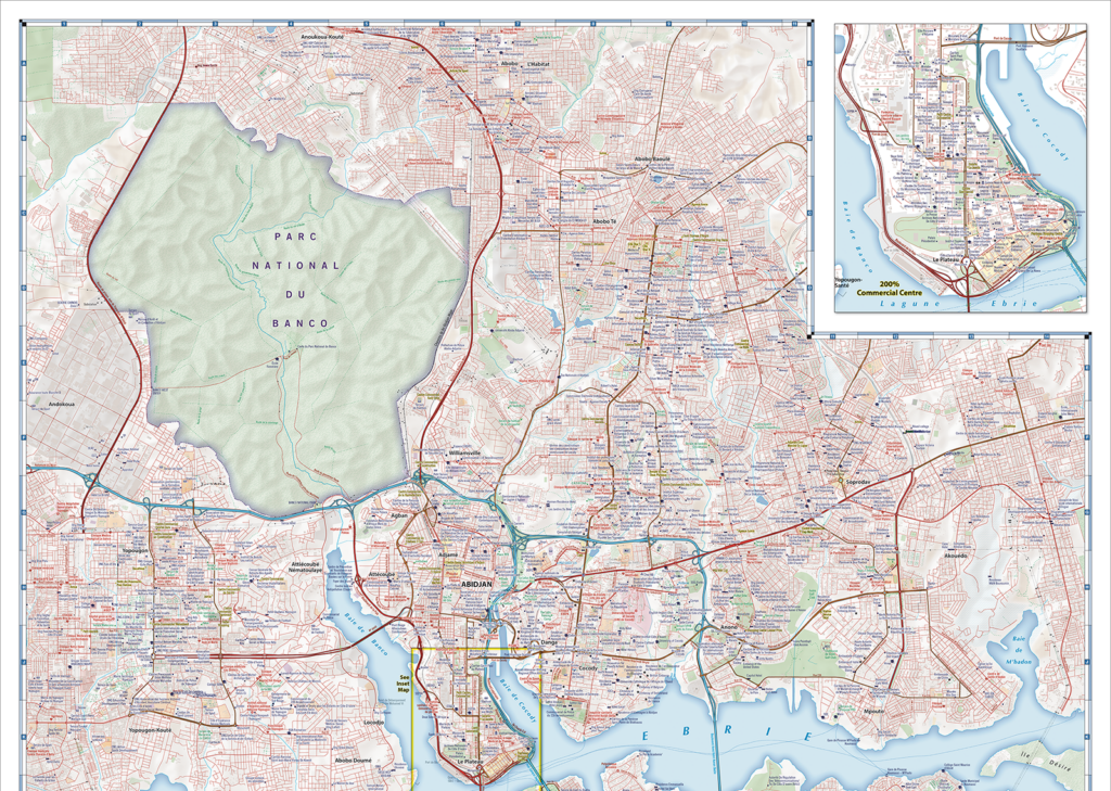
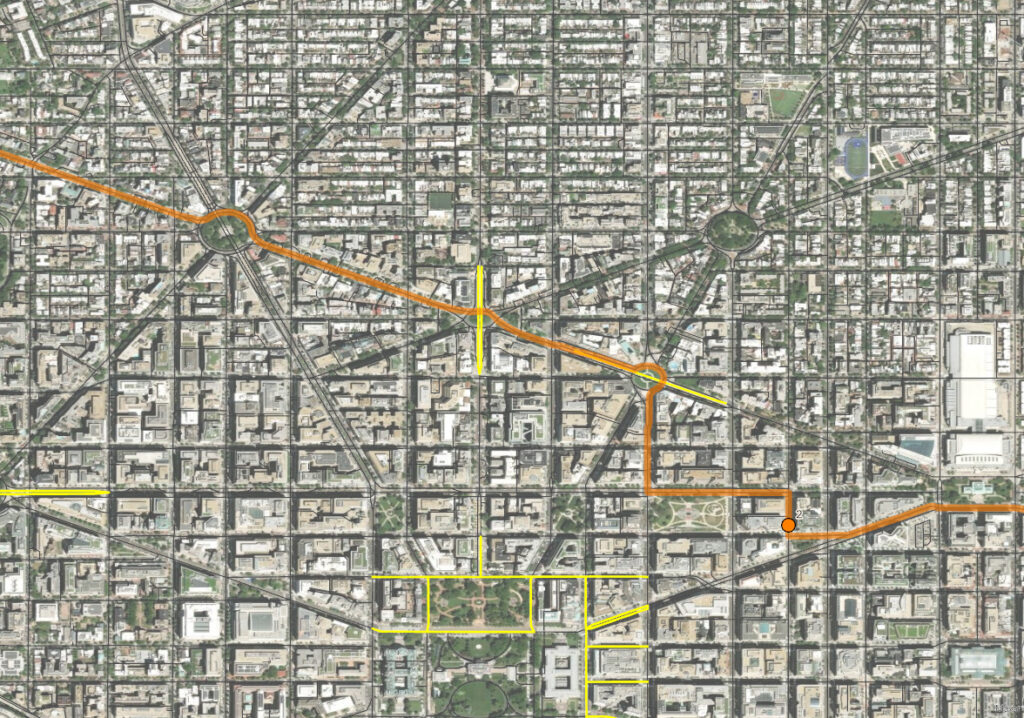
East View’s Global Vector Basemap (GVBM) is an authoritative ArcGIS-ready vector basemap powered by TomTom Orbis Maps. The GVBM provides a GIS-ready plug and play solution ideal for use in creating a wide variety of geospatial output. Available off-the-shelf or customized for any location in the world, East View can add, remove, and integrate your data as needed, providing a flexible futureproof foundation on which to build out your customized mapping content.
Authoritative Global Map Data Designed to Support Endless Customization and Easy Integration

GIS Vector Basemap
- Fully customizable visual specification
- Performance optimization (scale-appropriate data generalization and simplification)
- Vector tiles generation

Map Creation and
Cartographic Finishing
- Rapid cartographic production
- Worldwide baseline availability
- Custom finishing specifications (including MIL-SPEC)
- Established transportation network, Places of Interest (POI) and geonames data

Traffic and Routing
- Logistics data
- Geocoding and geolocation
- Customizable Network Analyst ready navigation graphs
- Routing restrictions and per-segment cost assignment
April 2025 – Global Census Archive: Focus on Latin America
Global Census Archive (GCA) provides a single platform experience to explore the world’s census publications: all countries and regions, the complete depth of published census materials, including original census publications in e-book form, as well as modern tabular data in Excel format and GIS datasets. Click here to view a complete list of all available GIS census datasets.
Spotlight on Argentina Collection
The GCA Argentina collection offers comprehensive coverage of the country’s official census publications dating back to 1869. These publications include tabular data as well as supplementary materials such as enumerator manuals and questionnaires published by the Instituto Nacional de Estadística y Censos de la República Argentina.
Additionally, the GCA Argentina collection offers three rounds of GIS census datasets, from 1991, 2001, and 2010. These GIS datasets are organized to accommodate both experienced GIS users and novice researchers.
| Product Name | ADM Level | Polygons | Actual Attributes per Feature | Actual Data Points (attributes x polygons) |
|---|---|---|---|---|
| 1991 Census | 4 – Municipios | 40,093 | 162 | 6,495,066 |
| 2001 Census | 3 – Departmento | 512 | 554 | 238,648 |
| 2010 Census | 4 – Sectores | 52,400 | 233 | 12,209,200 |
And Coming Soon! Argentina 2022 census publications and GIS data
More Highlights from GCA Latin America and Caribbean Collection
| Country | From | To | Item Count (Publications) | Item Count (GIS Data) |
|---|---|---|---|---|
| Argentina | 1870 | 2020 | 575 | 3 |
| Bolivia | 1850 | 2010 | 445 | 1 |
| Brazil | 1870 | 2010 | 1,199 | 1 |
| Chile | 1570 | 2020 | 738 | 3 |
| Colombia | 1830 | 2020 | 418 | 2 |
| Costa Rica | 1860 | 2010 | 195 | 2 |
| Cuba | 1840 | 2010 | 71 | 1 |
| Dominican Republic | 1920 | 2010 | 121 | 1 |
| Ecuador | 1950 | 2010 | 673 | 2 |
| El Salvador | 1910 | 2010 | 54 | 1 |
| Guatemala | 1880 | 2020 | 115 | 1 |
| Honduras | 1900 | 2010 | 387 | 2 |
| Mexico | 1900 | 2020 | 1,560 | 2 |
| Nicaragua | 1920 | 2010 | 231 | 2 |
| Panama | 1910 | 2020 | 181 | 2 |
| Paraguay | 1950 | 2020 | 94 | 2 |
| Peru | 1880 | 2020 | 895 | 2 |
| Uruguay | 1860 | 2010 | 91 | 1 |
| Venezuela | 1870 | 2010 | 336 | 2 |
March 2025 – Global Geography Library New Releases
Global Geography Library (GGL) provides easy access to a vast collection of atlases, maps, charts, and related resources. Select new releases are highlighted below. Click here to view a complete list of all available GGL collections.
GGL Earth Sciences
- Russia Geological 1000K (3rd Gen)
- Wilderness Mineral Potential (USA, Vol. 1 & 2)
GGL Maritime
- NOAA Nautical Charts (Final Editions)
- Norway Nautical Charts (All Scales)
GGL Thematic, Reference, Commercial, Educational
- Tom Harrison Maps
GGL Topographic
- Cuba Topographic 100K (Soviet Military)
- Israel Topographic 25K (2024-English)
- Mexico Topographic 20K
- Mexico Topographic 50K
- Tanzania Topographic 50K
- Uzbekistan Topographic 25K
- Yemen Topographic 100K
February 2025 – Gitashenasi (Iran) Mapping
Click on the name of the map series to browse or purchase sheets in Global Explorer. Note that in many cases discounted set pricing is available for purchases of an entire map series. Please inquire for more details.
East View Geospatial is pleased to offer a wide variety of mapping from Gitashenasi, Iran’s leading map publisher. Gitashenasi has been publishing maps and atlases of Iran, the Middle East, and the rest of the world for decades. Their detailed maps are a valuable addition to any map collection.
- City Maps 268 available
- Province Maps 78 available
- Country Maps 120 available
- Just released: Guide Map of United States of America
1:5,500,000 scale, sheet index #1127, pub. 2025, in Persian
Released in January 2025, this new US map is the first of its kind: a non-US or non-US government-published map with the words “Gulf of America” prominently displayed along the US coastline where “Gulf of Mexico” would have been just days ago.
- Just released: Guide Map of United States of America
- World and Continent Maps 42 available
Get 24/7 online access to hundreds of Gitashenasi maps with East View’s Global Geography Library
- Global Geography Library Gitashenasi Collection
Part of the Global Geography Library (GGL) Thematic, Reference, Commercial, Educational family, the Gitashenasi collection features over 450 maps, including the new Guide Map of United States of America noted above. The maps are from 1975-present and include a multitude of scales – some as detailed as 1:2,000. Content language is a mix of English and Persian.
Interested in other geospatial resources for Iran? Visit our Iran Country Profile to learn more about East View’s offerings.
January 2025 – Africa Topographic & Geoscientific Mapping
Click on the name of the map series to browse or purchase sheets in Global Explorer. Note that in many cases discounted set pricing is available for purchases of an entire map series. Please inquire for more details.
Morocco Topographic Mapping
- 1:25,000 scale 897 sheets, pub. 2005-2015
- 1:50,000 scale 452 sheets, pub. 1942-2009
- 1:100,000 scale 297 sheets, pub. 1950-1994
Mozambique Geoscientific Mapping
- 1:250,000 scale geological 74 sheets, pub. 2006-2008
- 1:250,000 scale geological, explanatory notes 4 reports available, pub. 2006
- 1:250,000 scale geological, GIS vector data 101 sheets, pub. 2006-2008 | please inquire
- 1:1,000,000 scale metalogenic map 4 sheets, pub. 1993
- 1:1,000,000 scale mineral map 4 sheets, pub. 2000
- 1:1,000,000 scale metal map 4 sheets, pub. 1993
Note: the Mozambique 1:250,000 scale geological map sheets and explanatory notes are also available as a complete set in Global Geography Library, East View’s online platform for maps and other geospatial data.
Rwanda Topographic Mapping
- 1:50,000 scale 43 sheets, pub. 1961-1989
Zambia Geoscientific Mapping
- 1:100,000 scale geological 156 sheets, pub. 1960-2015
- 1:100,000 scale geological, explanatory notes 99 reports available, pub. 1961-2016
Note: the Zambia 1:100,000 scale geological map sheets and explanatory notes are also available as a complete set in Global Geography Library, East View’s online platform for maps and other geospatial data.
Also Available for Zambia: GIS Vector Data (contact us for details)
- 1:50,000 scale Geophysical Data (Magnetic)
- 1:50,000 scale Geophysical Data (Seismic Data)
- 1:50,000 scale Radiometric Data
- 1:5,000,000 scale Geophysical Data (Magnetic)
- 1:5,000,000 scale Geophysical Data (Seismic Data)
- 1:5,000,000 scale Gravity Data (Gravity)
December 2024 – Survey of Israel Mapping
Click on the name of the map series to browse or purchase sheets in Global Explorer. Note that in many cases discounted set pricing is available for purchases of an entire map series. Please inquire for more details.
Note: Most of the items listed below are also available as complete sets in Global Geography Library, East View’s online platform for maps and other geospatial data.
Israel Topographic Mapping
- NEW SERIES! 1:25,000 scale (English) 97 sheets, pub. 2024
- 1:25,000 scale (Hebrew) 97 sheets, pub. 2024
- 1:50,000 scale (English) 28 sheets, pub. 2020
- 1:50,000 scale (Hebrew) 28 sheets, pub. 2024
- 1:100,000 scale (Hebrew) 22 sheets, pub. 2019
Israel Topographic City Maps (all in Hebrew)
- 1:2,500 scale 1,187 sheets, pub. 2023
- 1:3,000 – 1:5,000 scale 352 sheets, pub. 2023
- 1:5,500 – 1:10,000 scale 113 sheets, pub. 2023
- 1:10,500 – 1:18,000 scale 18 sheets, pub. 2023
Israel Geoscientific Mapping
- 1:250,000 scale geological (Hebrew) 2 sheets, pub. 2021
Israel Nautical Charts
- Various scales 12 sheets, pub. 2009‒2023
Israel Thematic Mapping
- 1:250,000 scale physical maps (English, Hebrew) 4 sheets, pub. 2023
- Israel Touring Maps
- 1:250,000 scale (English) 2 sheets, pub. 2023
- 1:250,000 scale (Hebrew) 2 sheets, pub. 2023
- 1:450,000 scale (English) 1 sheet, pub. 2023
- 1:450,000 scale (Hebrew) 1 sheet, pub. 2023
November 2024 – Uzbekistan Topographic Mapping & Assorted Atlases
Click on the name of the map series to browse or purchase sheets in Global Explorer. Note that in many cases discounted set pricing is available for purchases of an entire map series. Please inquire for more details.
Uzbekistan Topographic Mapping
- 1:25,000 scale 1,771 sheets, pub. 2023
- 1:25,000 scale GIS vector data 1,738 sheets, pub. 2023
Times Comprehensive Atlas of the World Digital Archive
- 45 atlases, pub. 1895-2023, part of Global Geography Library | please inquire
Atlas of the Islamic Republic of Pakistan (5th Ed.)
- Rawalpindi: Survey of Pakistan, 336 pages, hardcover, English language, 2023 | purchase atlas
Looking for more data?
Explore available resources by country with our Country Profiles or browse our extensive data offerings on Global Explorer.
