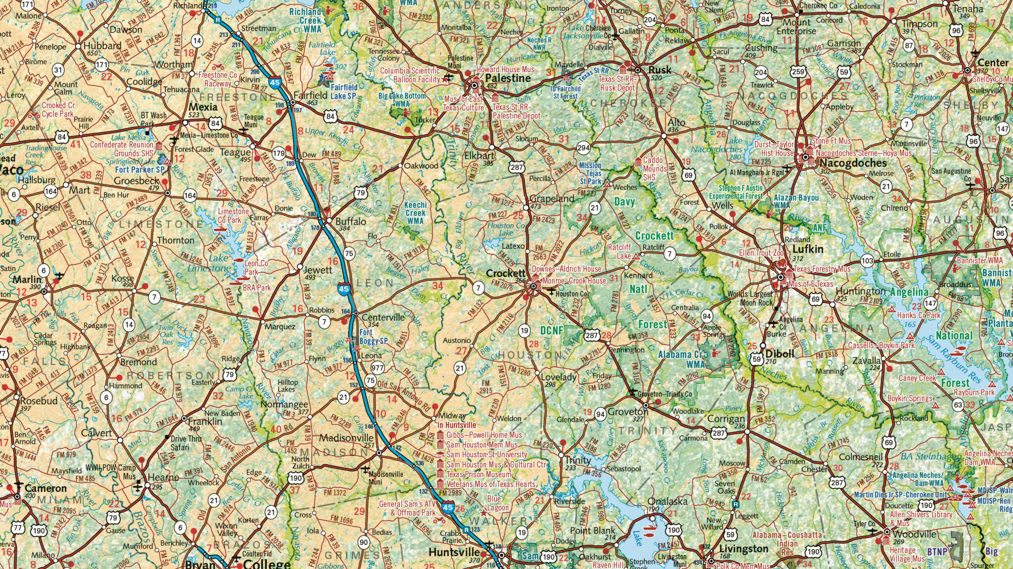
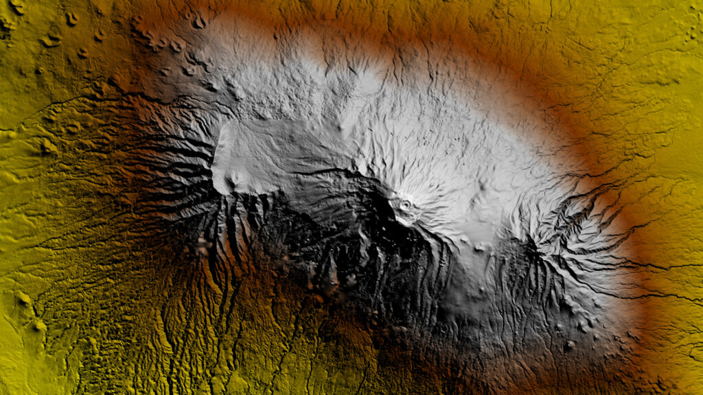
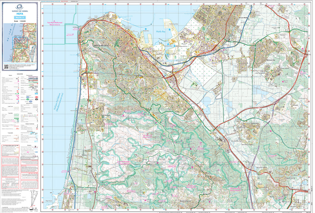
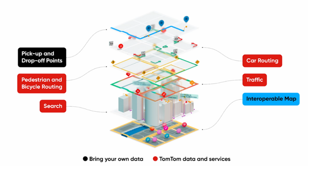
Check Out What’s New With Our Partners
Why Partner with East View Geospatial?
A partnership brings increased exposure and functionality to your data, all of which leads to more opportunities for investment in your organization and your country’s trade, commerce, and infrastructure projects.
Our customers include the world’s foremost universities, researchers, humanitarian organizations, and private business in the mining, exploration, energy development, aviation, telecommunications, and engineering sectors. To better serve the needs of our customers, we have forged long-term reseller agreements with national mapping agencies across the globe. These agreements allow East View Geospatial to offer a more robust catalog of data solutions for our customers, and provide our partners with numerous benefits.
Benefits of Partnering Include:
- Skills transfer and enhancement through our customizable capacity building initiative models
- Increased visibility for your products through a wide network of partners and customers
- Enhanced availability of your data means potential for greater investment in trade and commerce
- Marketing services for your data via website, email marketing, and conferences
- Training and development opportunities for your team at our headquarters
- Regular royalty reports and payments
- Value-added services for your data, including:
- Data preparation for web services (WMS, WMTS, WFS, etc.)
- Georeferencing, cropping, cartographic finishing, and other raster processing
- Digital elevation models
- GIS data conversion and conflation services
- Data hosting services
Contact Us to Discuss Partnering with East View
Get to Know Our Partners
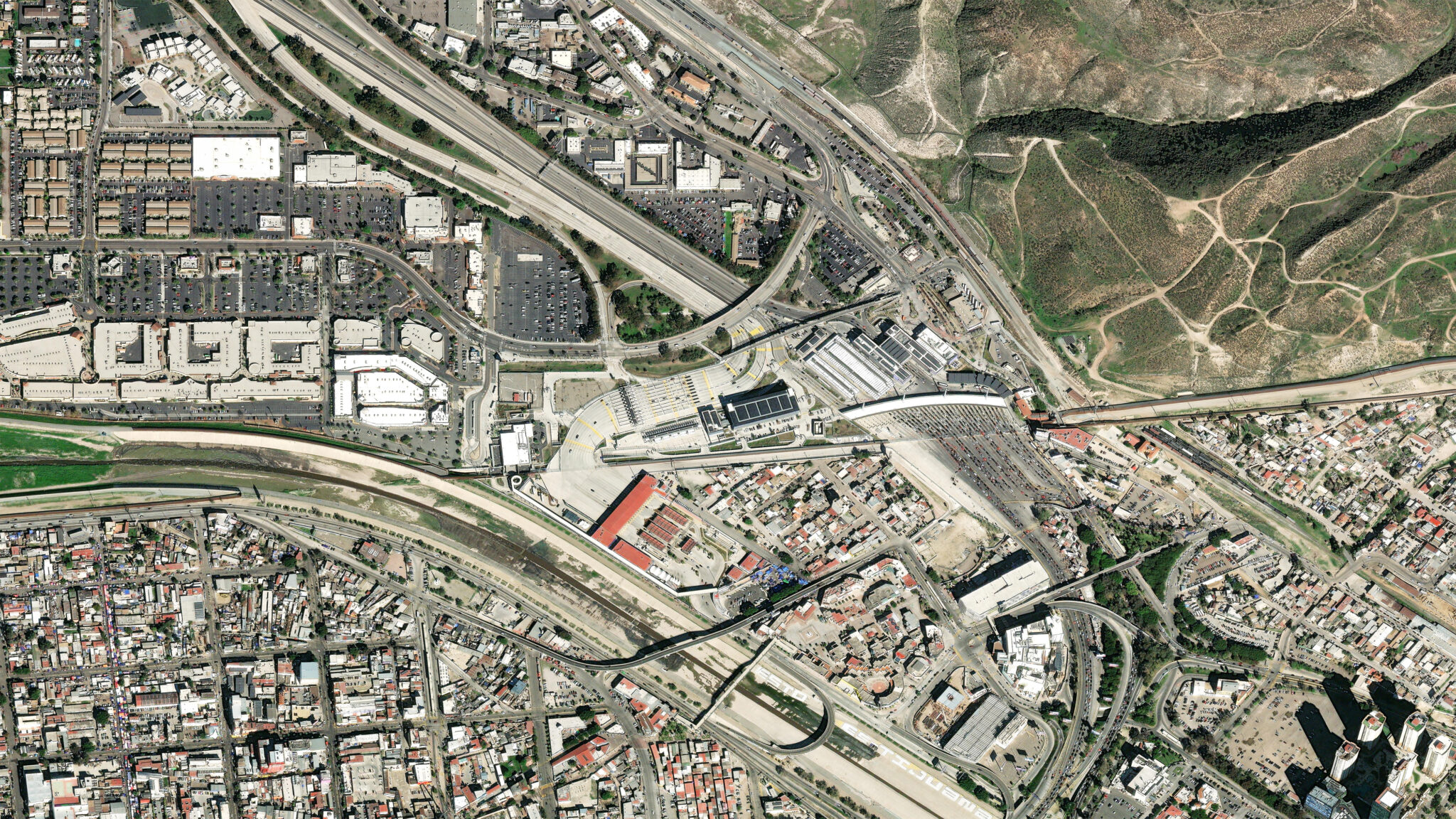
Imagery





Learn More About Imagery & Remote Sensing
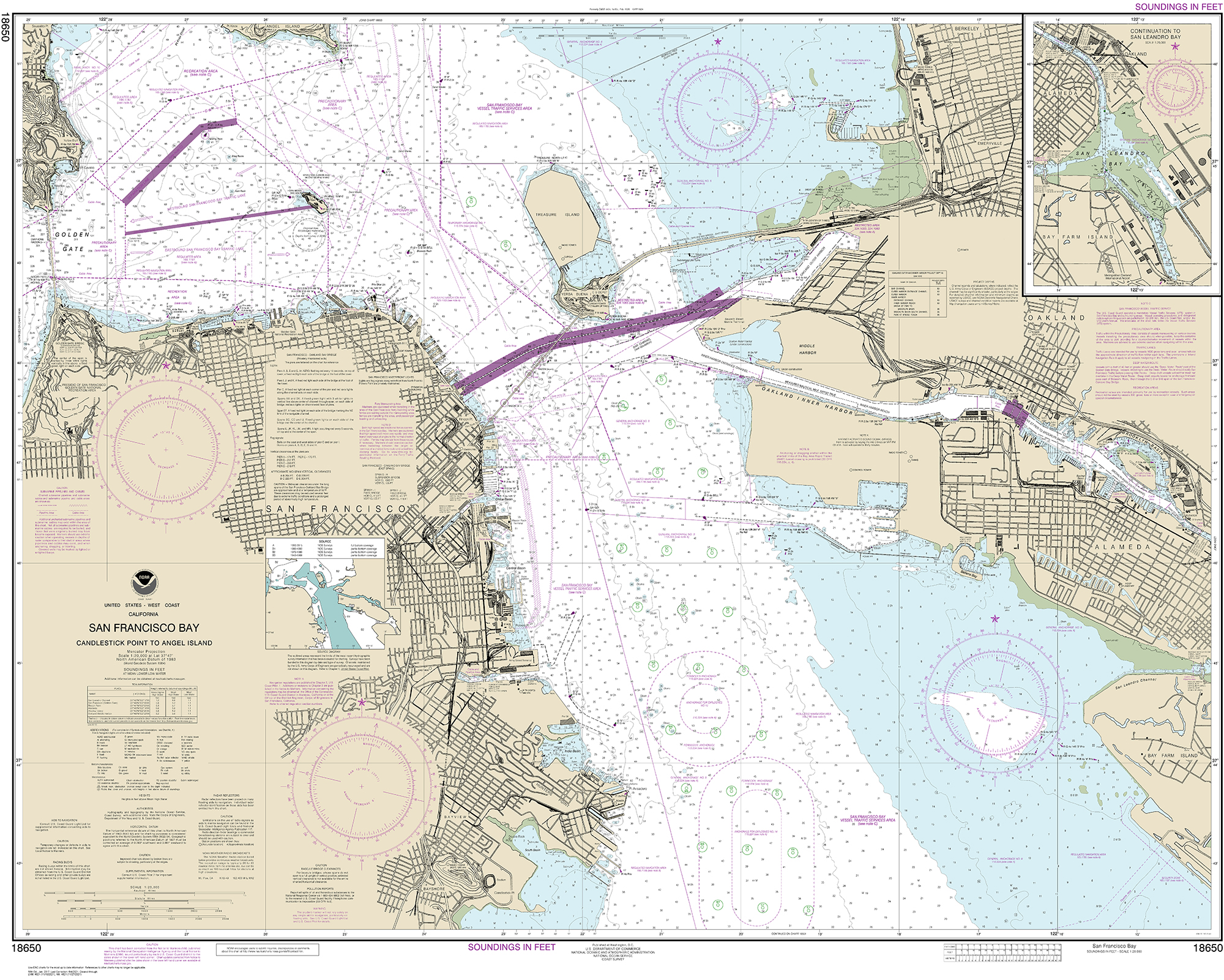
Hydrographic Agencies
Click on logos to view and purchase charts in Global Explorer
South African Navy Hydrographic Office (SANHO)
South Africa
Learn More About Our Maritime Resources
National Mapping Agencies
Click on logos to view and purchase maps in Global Explorer
Department of Surveys and Mapping
Botswana

Natural Resources Canada
Canada

Survey of Israel
Israel

Foiben-Taosarintanin’i Madagasikara
Madagascar

Land and Property Services
Northern Ireland
Geological Survey Department
Zambia
Learn More With Our Country Profiles

Data Providers

Eurogeographics
Europe

HERE Technologies
Netherlands

Intermap
United States
RESTEC
Japan
TomTom
United States
Learn More About Our Data Production Solutions
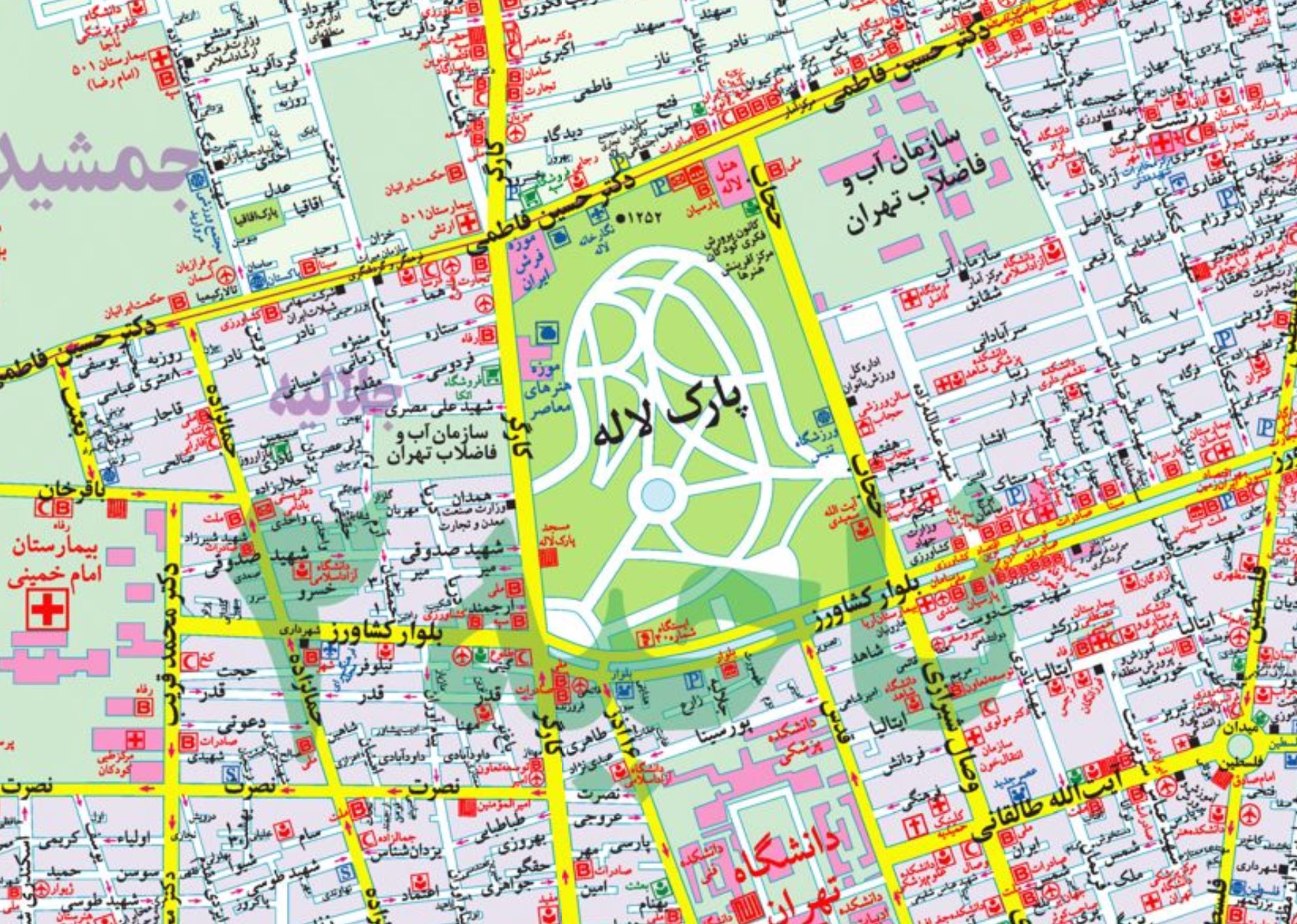
Commercial Map Publishers
Click on logos to view and purchase maps in Global Explorer

Freytag & Berndt
Austria

Gitashenasi
Iran
HarperCollins
United Kingdom
Tom Harrison Maps
United States
