SOLUTIONS / DATA PRODUCTION / CUSTOM MAPPING
EV Maps
With decades of experience in data collection, quality control and cartographic finishing, East View Geospatial is a trusted partner in the production of authoritative custom maps that meet even the most exacting of standards.
MIL SPEC Map Production
East View Geospatial’s dedicated team of expert cartographers produce detailed maps & GIS databases with high accuracy. Utilizing Esri Production & Defense Mapping Toolsets, EV Map publications are created expeditiously, meeting military specifications or tailored to end-user requirements.
EV Map Portfolio
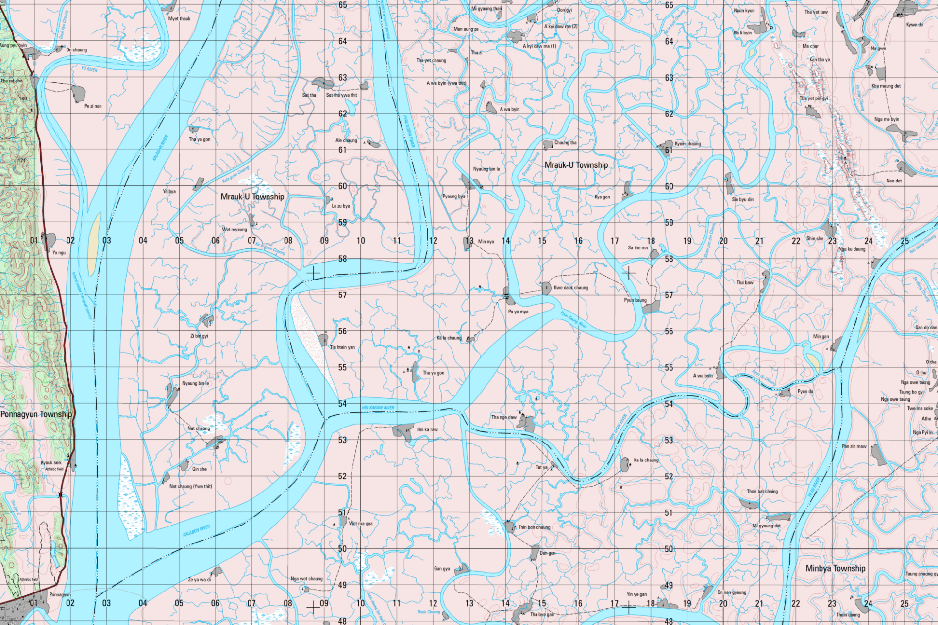
Myanmar (EVMAP50-MMR)
Following the acquisition of authoritative topographic vector data over the entire country, East View cartographers updated and cartographically finished 1,148 1:50,000 scale topographic map sheets. These maps are available for purchase in print and digital formats.
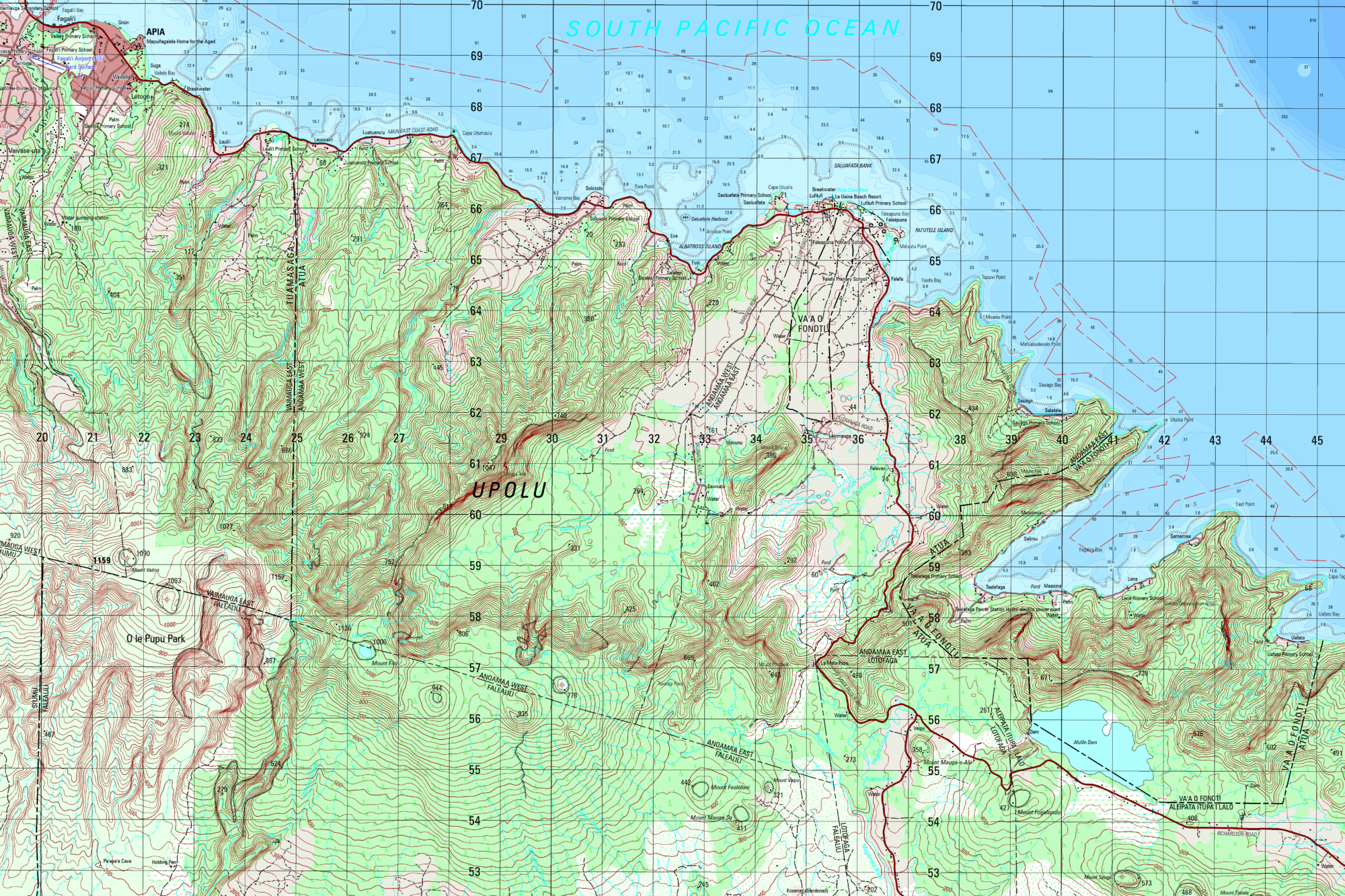
Samoa (EVMAP50-WSM)
In 2020, East View produced 16 1:50,000 scale topographic map sheets covering the entire nation of Samoa. The island’s country-wide mapping at this scale had not been updated since 2000, presenting a clear need for updated coverage. Leveraging a combination of authoritative topographic, bathymetric and elevation data, the entire series was updated and cartographically finished based on MIL SPEC styling and symbology.
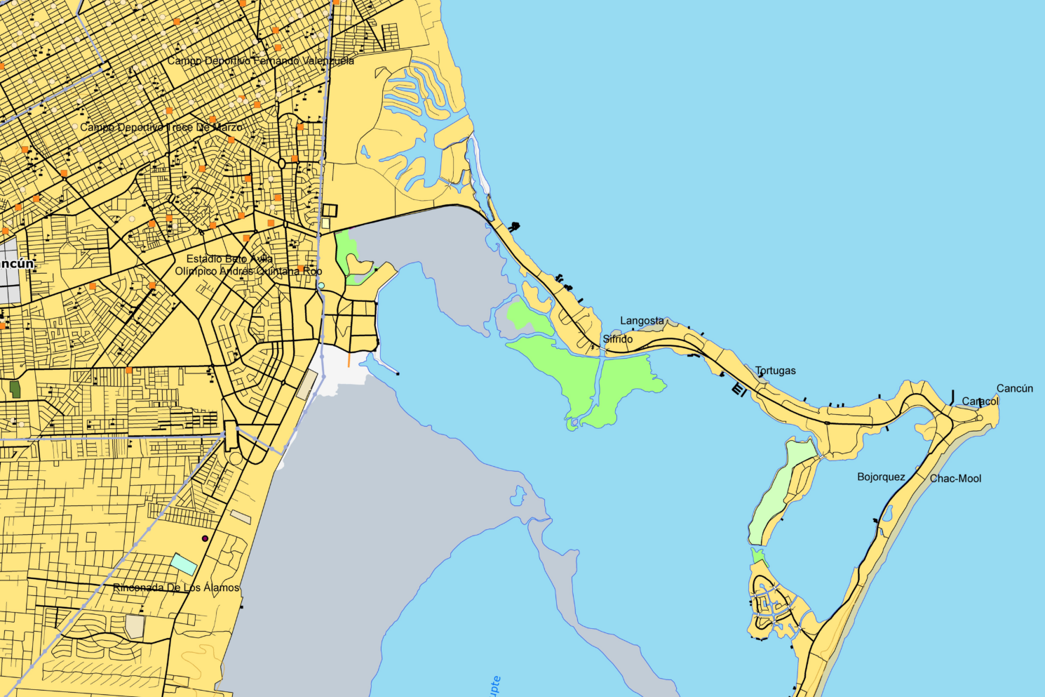
Mexico (EVMAP50-MEX)
An enhanced topographic GIS Database published by East View providing full country coverage of Mexico at 1:50,000 scale. This database was processed from authoritative data published by Instituto Nacional de EstadÍstica y GeografÍa (INEGI), the National Mapping Agency of Mexico, between 2013-2018. EVMAP50-MEX offers exceptional accuracy within 5-15 meters in comparison to basemap imagery.
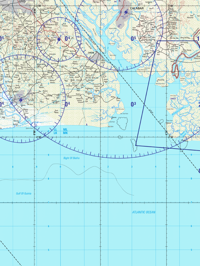
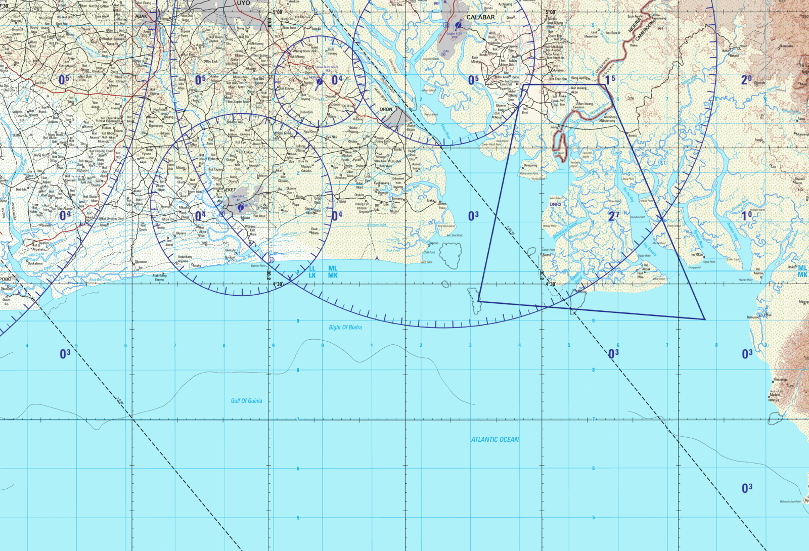
Nigeria (EV1501)
in 2016, East View published 69 aeronautical charts at 1:250,000 (EV1501) and nine at 1:500,000 (EV-TPC), all updated according to well-known JOG-A and TPC standards. These charts are available for purchase in print and digital formats.
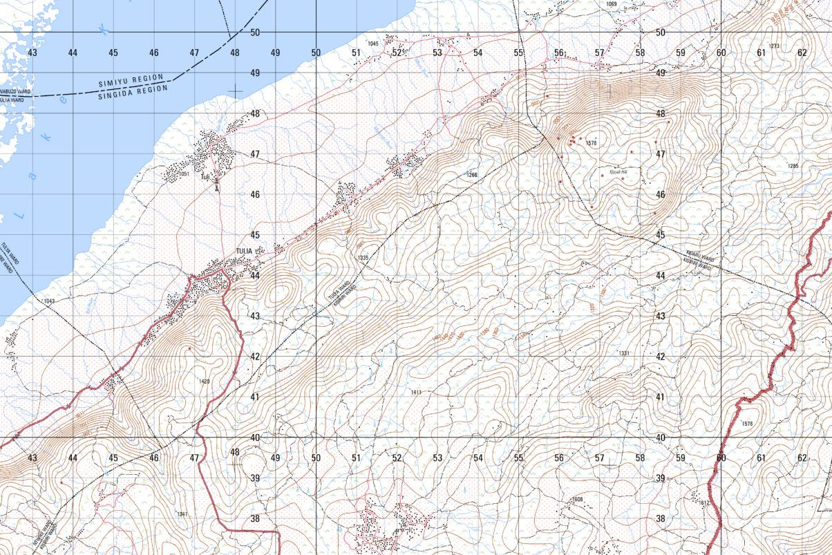
Tanzania (EVMAP50-TANZ)
East View produced a set of sixteen new 1:50,000 scale topographic map sheets to fill a long-standing gap in national coverage at this scale. Learn more about this effort by checking out our StoryMap detailing the production process for this series.
View other Custom Mapping Options