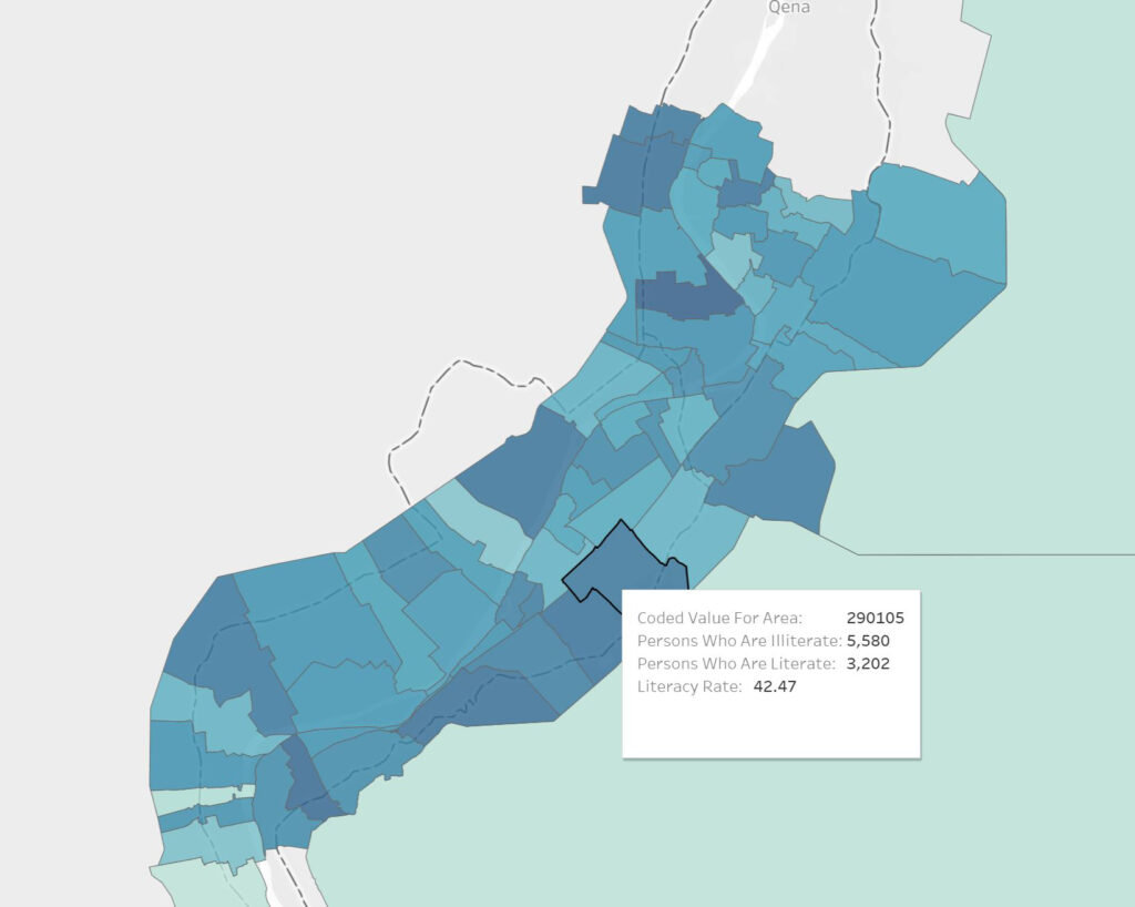
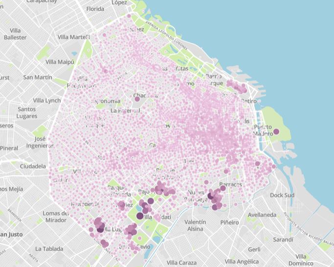
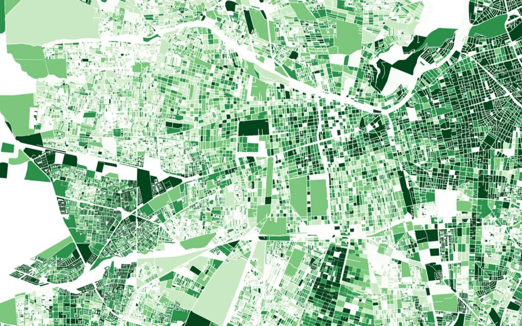
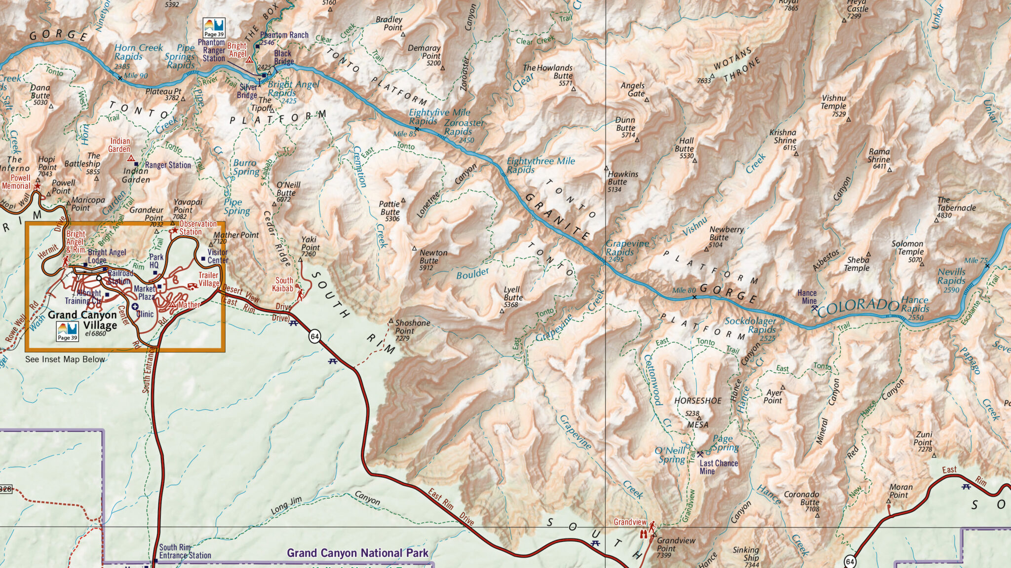
This centralized platform hosts billions of data points in GIS format, with more content continually added as new censuses are held across the globe.
Detailed GIS Census Data from Around the World
East View presents the Global Census Archive® (GCA), an innovative program to collect official data and publications issued by national census authorities from around the world. Since the beginning of the 2000s, authorities around the world have increasingly made the census output available as geographic information system (GIS) formatted data. East View acquires the official data outputs and employs a workflow to ensure a uniform GIS format for these materials that can be used by several GIS platforms.

Making Information Accessible
This truly global collection contains all available primary source and official census publications associated with a given census. GCA provides a single platform experience to explore the world’s census publications: all countries and regions, the complete depth of published census materials, including original census publications in e-book form, as well as modern tabular data in Excel format and GIS datasets.
Spotlight on GIS and Tabular Census Data
When initially acquired, GIS census data is stored in a complex database structure, limiting access to those with significant database management and programming experience, not to mention knowledge of the language in which the census was conducted.
East View simplifies access – for each country, official census outputs are analyzed and reviewed through an 18-step process to ensure consistent data formats resulting in easy-to-use geodatabases that are easily navigated and uniform across all countries, including English translation of all headers, etc.


These East View-created datasets are tailor-made for instant analysis and visualization using any GIS software. GIS datasets on the GCA platform include:
- Administrative boundary vector data
- Feature classes
- Shapefiles
- Attribute level metadata in FGDC ISO format
- A GIS data dictionary with native language and English-translated variables
All data and files are hosted on the platform itself. No need to worry about storing data within your organization. Users have easy access to GIS data and can download individual components of the dataset with the click of a button.
Featured GIS Census Data
Click on the year(s) of each country to view a fact sheet for the dataset.
| Country | Year(s) | Pop Cov % | ADM Level |
|---|---|---|---|
| Argentina | 1991, 2001, 2010, 2022 | 100%, 100%, 100%, 99% | 4, 4, 6, 4 |
| Belarus | 2009 | 100% | 2 |
| Bolivia | 2012 | 100% | 3 |
| Brazil | 2010 | 79.1% | 6 |
| Burundi | 2008 | 96.9% | 3 |
| Cambodia | 1998, 2008 | 90.5%, 99.8% | 4 |
| Chile | 1992, 2002, 2017 | 97%, 97.2%, 87% | 3, 6, 6 |
| Colombia | 2005, 2018 | 100% | 6 |
| Costa Rica | 2000, 2011 | 100% | 3 |
| Côte d’Ivoire | 2014 | 100% | 3 |
| Cuba | 2002, 2012 | 100% | 2 |
| Dominican Republic | 2010 | 100% | 5 |
| Ecuador | 2001, 2010 | 100% | 6 |
| Egypt | 2017 | 100% | 4 |
| El Salvador | 2007 | 92.4% | 2 |
| Guatemala | 2018 | 86% | 3 |
| Honduras | 2001, 2013 | 93%, 92.2% | 3, 5 |
| Hong Kong | 2011, 2016 | 100% | 5 / 6 |
| India | 2011 | 100% | 4 |
| Iran | 2011 | 75% | 4 |
| Country | Year(s) | Pop Cov % | ADM Level |
|---|---|---|---|
| Japan | 1995, 2005, 2015 | 100% | 5 |
| Laos | 2005, 2015 | 99.6%, 99.8% | 3 |
| Latvia | 2011 | 100% | 3 |
| Lithuania | 2011 | 100% | 3 |
| Malawi | 2018 | 95.8% | 3 |
| Malaysia | 1991, 2000 | 95.3%, 95.4% | 4 |
| Mexico | 2010, 2020 | 68.5%, 79.4% | 5 |
| Myanmar | 2014 | 100% | 3 |
| Nicaragua | 1995, 2005 | 94%, 100% | 4 |
| Panama | 2000, 2010 | 54%, 30.5% | 5 |
| Paraguay | 1992, 2002 | 33%, 92.9% | 6 |
| People’s Rep of China | 2010 | 99.5% | 4 |
| Peru | 2007, 2017 | 100%, 92% | 3, 4 |
| Philippines | 2015 | 89.1% | 3 |
| Russia | 2010 | 100% | 3 |
| Samoa | 2016 | 100% / 90.5% | 2/ 3 |
| South Africa | 2011 | 100% | 5 |
| Tanzania | 2012 | 98.7% | 5 |
| Uruguay | 2011 | 100% | 3 |
| Venezuela | 2001, 2011 | 99%, 100% | 3 |
Note: GCA is continually growing, with new countries and census years constantly being sourced. If there is a country you are interested in that does not appear on this list, please contact us to discuss availability and status.

