GEOSPATIAL DATA
Population & Thematic Data
Gain insight into the world with authoritative local population and terrain data for use in a wide variety of applications.
Making Data Accessible
Stop spending hours trying to navigate government websites. We have sourced and standardized hundreds of population and thematic datasets, letting you focus on your research or business. Whether you are looking for a single map or a database of the world’s censuses, East View Geospatial can deliver easy access to the data you need.
Featured Resources
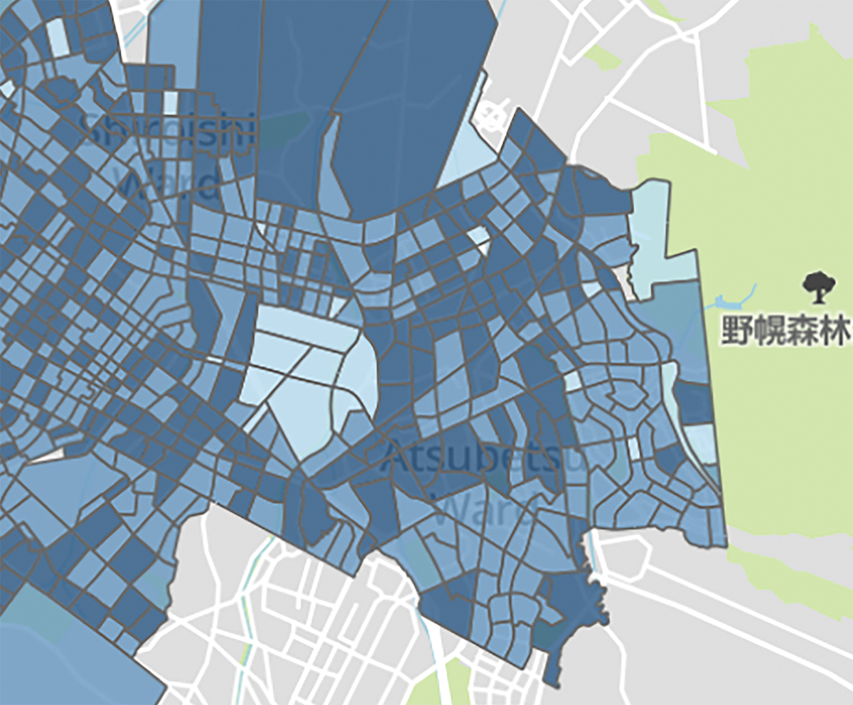
A robust resource for scholars and analysts to find current and historic census data, including all available GIS data and published content that accompanies the release of a census.
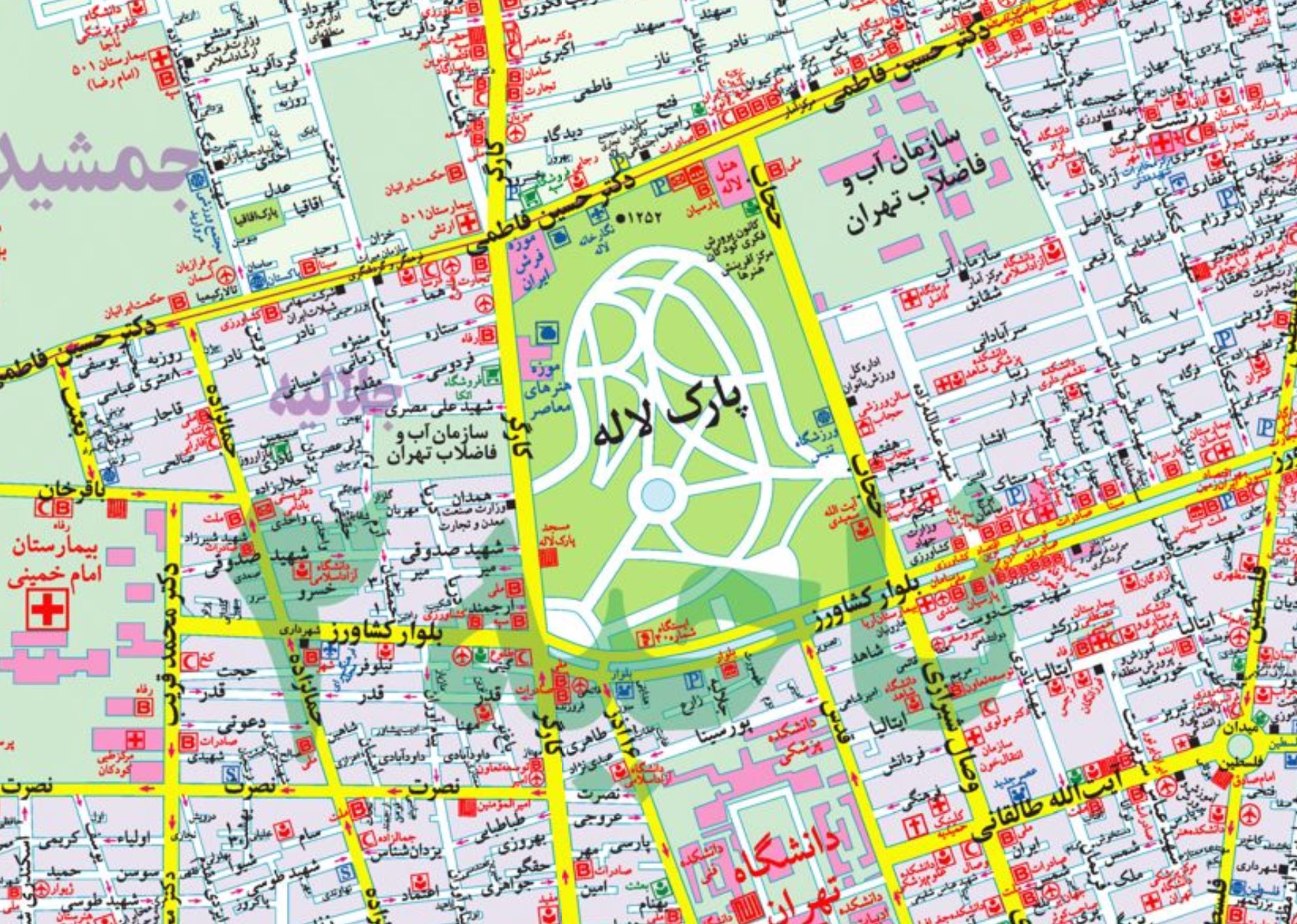
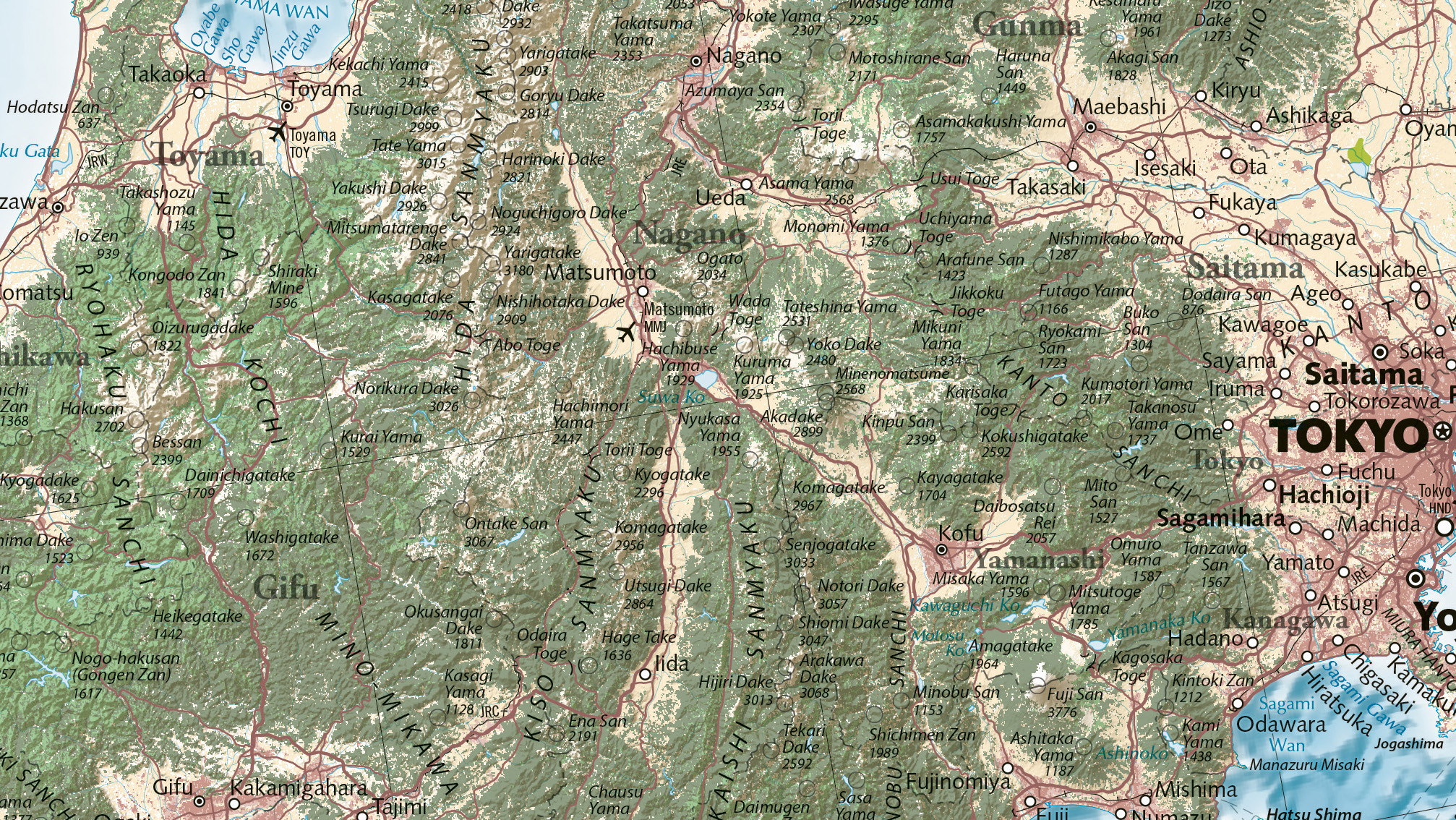
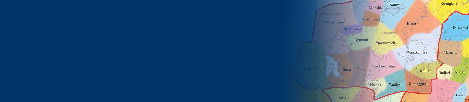
A comprehensive platform designed to provide users with access to a vast collection of atlases, maps, charts, and related resources, including the Thematic, Reference, Commercial, Educational collection.
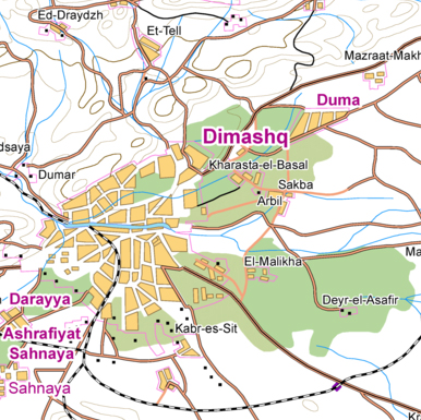
Provides detailed descriptions of the topographic and demographic conditions in countries across the globe. Featured countries include Afghanistan, Ukraine, China, North Korea, Syria and Lebanon, and more.