Explore the World with MapVault
MapVault® is a dynamic, affordable, subscription-based service that streams 500,000+ georeferenced map sheets from thousands of authoritative map series together in one experience. This unparalleled streaming service delivers immediate access to East View Geospatial’s extensive raster map collection—the world’s most comprehensive commercially-owned geospatial library.
Grow Your Collection
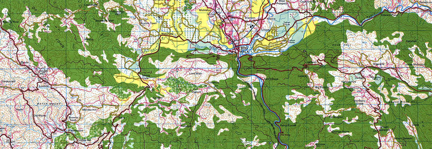
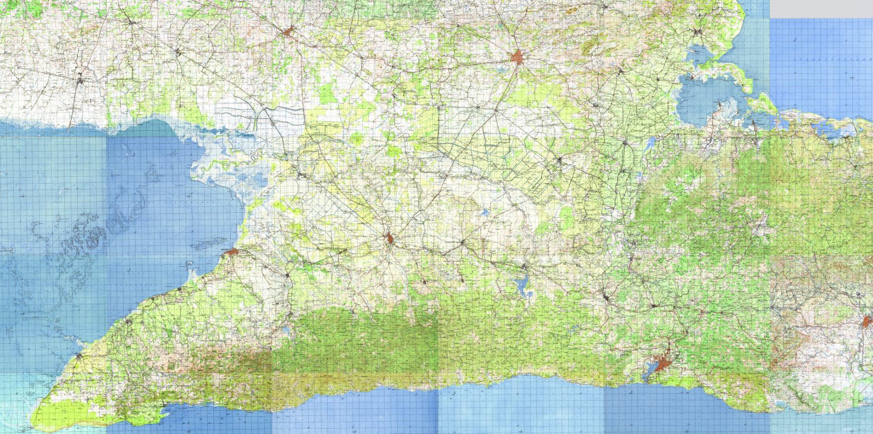
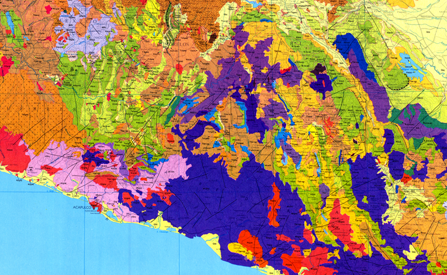
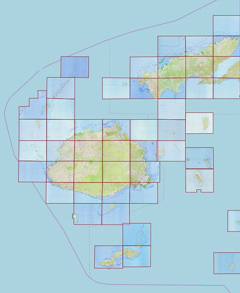
MapVault delivers quick and easy access to the world’s map series and features topographic, nautical, aeronautical, and geological map series from all over the world.
All scales. All languages. All countries. Current and historical. Federal government, local government, military and commercially published. MapVault has it all, but only subscribe to what you need, from single map series or large packages of related series. Customize MapVault by adding your own resources to the platform – contact us to learn more.
Discovery Made Easy
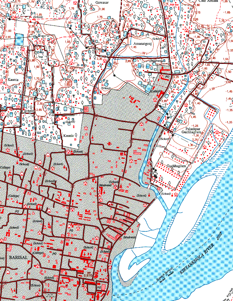
With MapVault, the discovery and analysis of map content is made profoundly easier than the traditional struggle with paper maps or individually digitized map sheets. Robust metadata, including individual sheet-level metadata, makes finding the right maps a breeze, while the seamlessly mosaicked tilesets make for easy navigation without loading delays.
Access Map Data Anytime, Anywhere
MapVault’s intuitive interface is easy to use for GIS and non-GIS specialists alike, while MapVault data is easily integrated into GIS software. Access the MapVault catalog over the internet or through any WMTS connection, or download layer files formatted specifically for ArcGIS Desktop, QGIS, Global Mapper or other open-source GIS packages.
Enhance Your Work with Reliable, Authoritative Data
Ready-to-use map tilesets let you focus on analysis, not on production. GIS and non-GIS specialists alike can use MapVault tilesets to enhance their research, presentations, and publications with striking visuals that also add explanatory value.