SOLUTIONS / DATA PRODUCTION
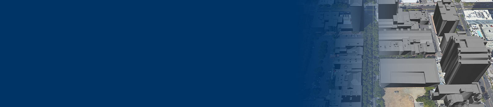
3D Modeling & Building Databases
East View Geospatial has the ability to model any landscape of the world. Whether creating visual databases for software developers or supporting mobile network operators with 3D maps for network planning, we can deliver the right data in the right format for your application.
Foundations for Smart Cities
From simulation and training to network planning and IOT, East View supports technological innovation with 3D models of landscapes from around the world. Whether modeling dense urban centers or remote terrains, we deliver accurate and detailed dimensions for your end use application.
Getting the Details
As our customers require more detail in their models, we are continually developing new techniques to model even the smallest features. From individual trees and bushes to streetlights and telephone poles, we are capturing the minutiae and making your model more realistic.
When Accuracy Matters Most
With over 30 years’ experience serving a wide variety of industries, our accuracy standards have been molded to satisfy our most demanding partners. Regardless of industry or application, we consistently deliver the highest quality models available.