SOLUTIONS / DATA PRODUCTION
Custom Mapping
by Professional Cartographers
Custom Mapping Choices
Personalized Maps
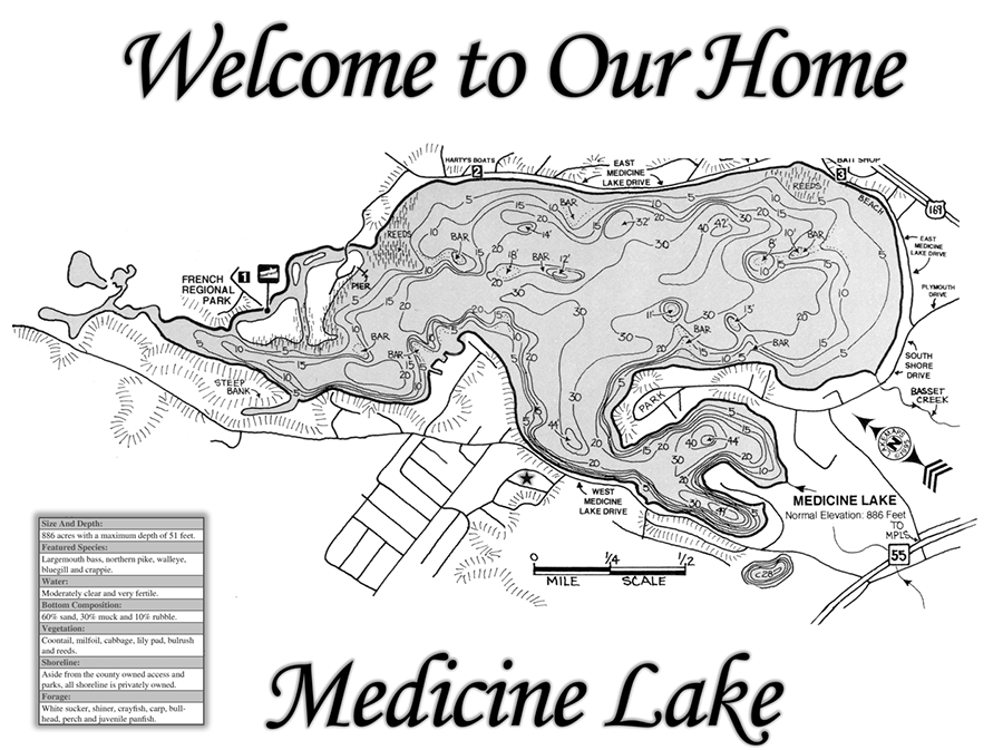
Add your name, organization, or logo to existing maps. Receive a physical custom print with multiple finishing options available including lamination, mounting, and framing.
Enhanced Maps
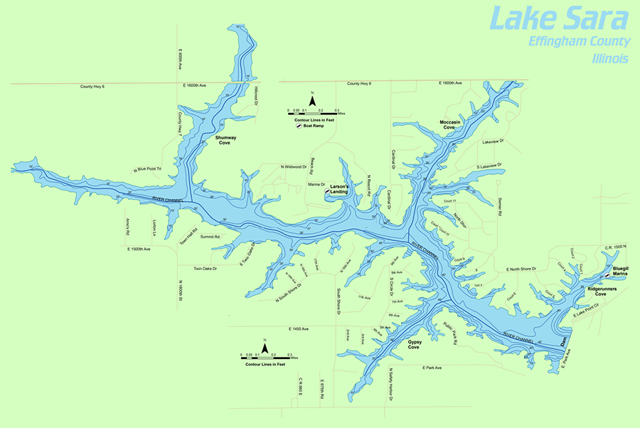
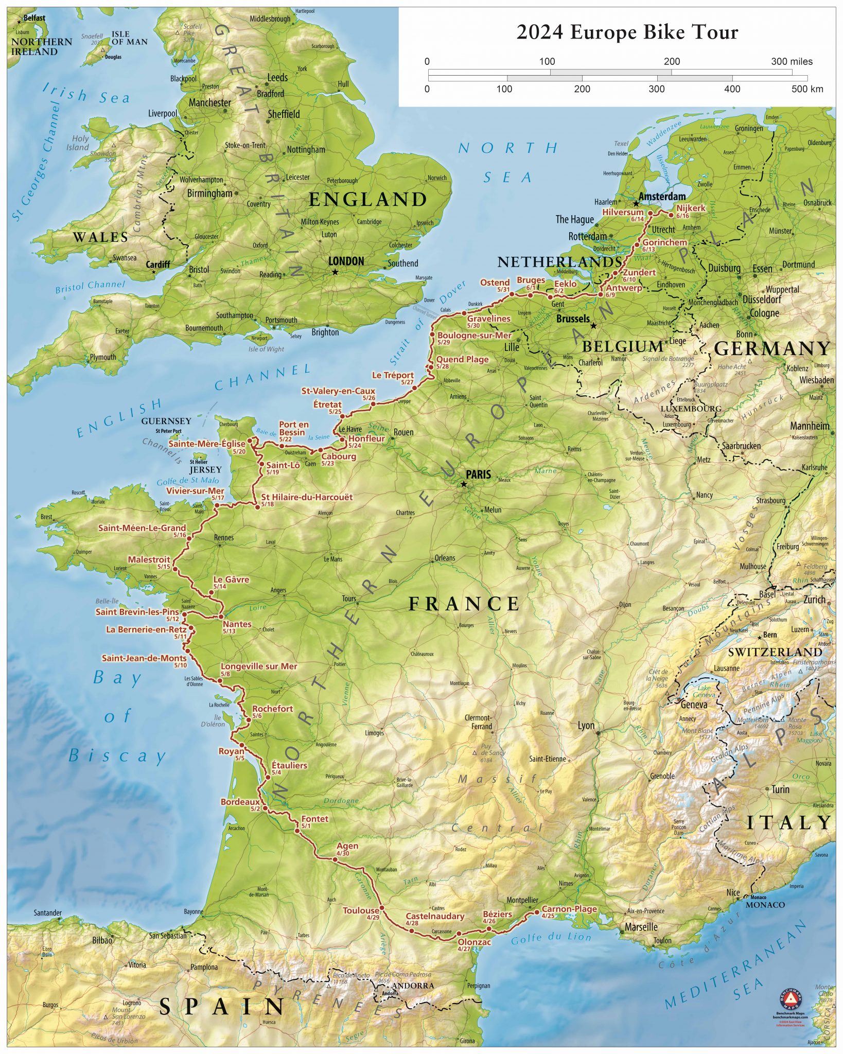
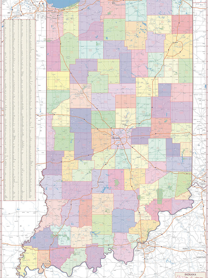
Choose from preset base layers (e.g., satellite, land cover, topo lines, population density, etc.) and add basic customizations like company branding, centering on your location, or color-coding zip codes or counties.
Full Customization
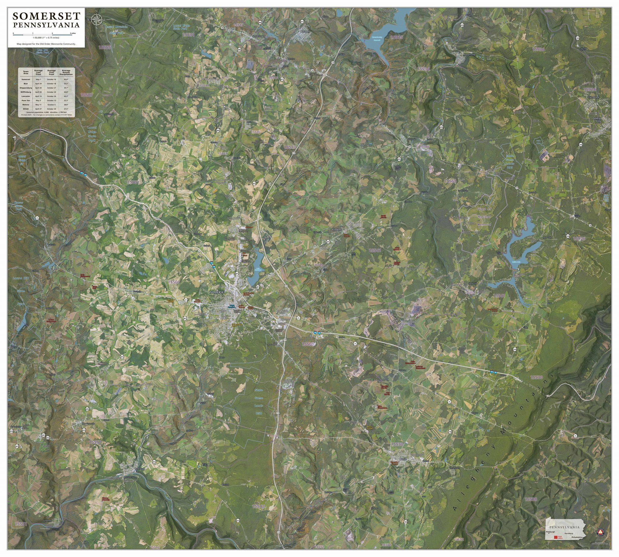
Work with our expert staff to build maps to your unique specifications with personalized geographical visualizations and receive a custom physical print. We can integrate complex data and blend multiple layers to create dynamic illustrations. Includes consultation, custom estimate, and draft layouts for review and approval.
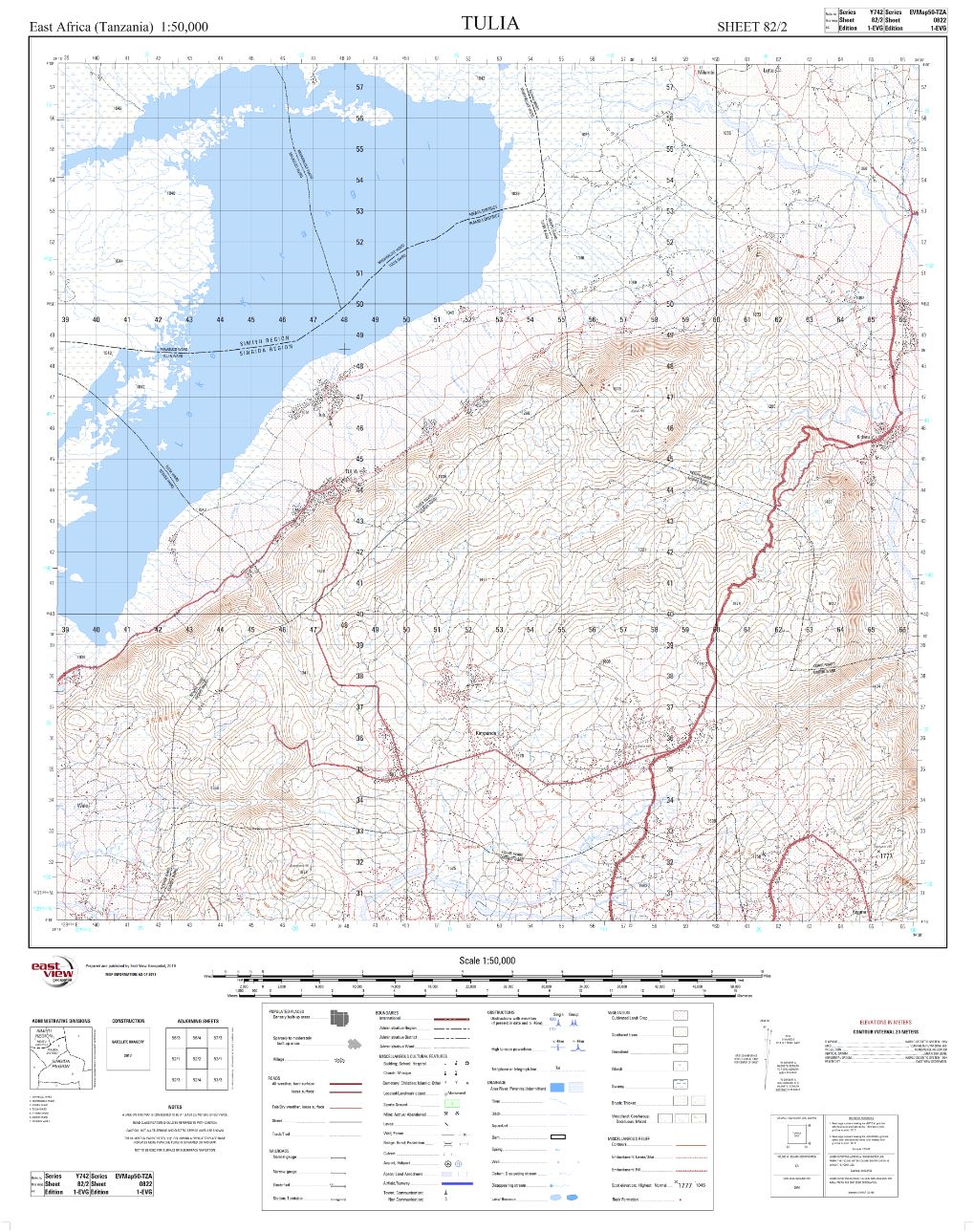
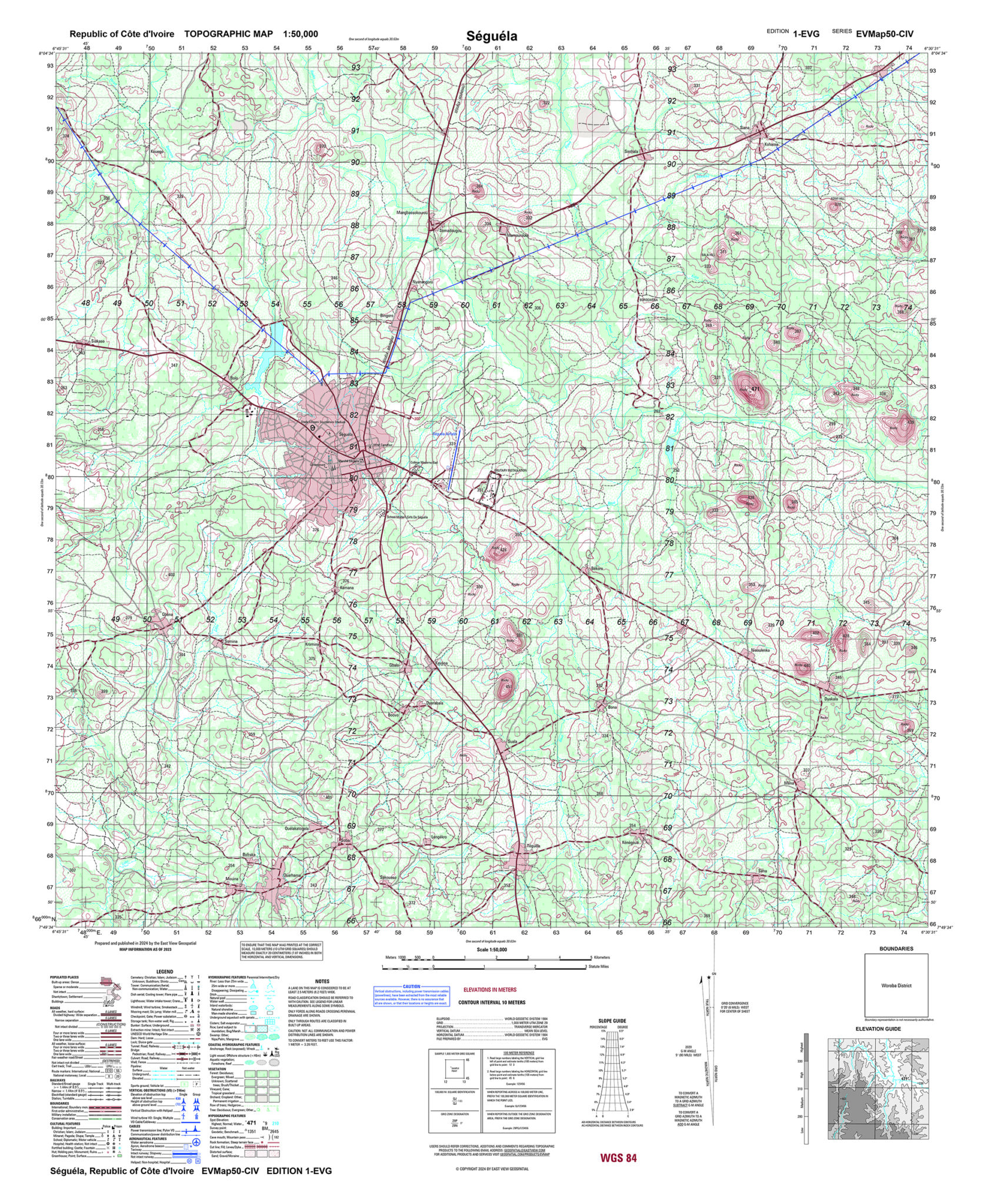
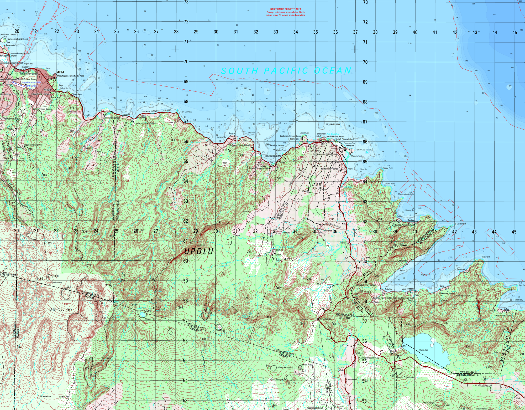
MIL SPEC Mapping / Foundation Data
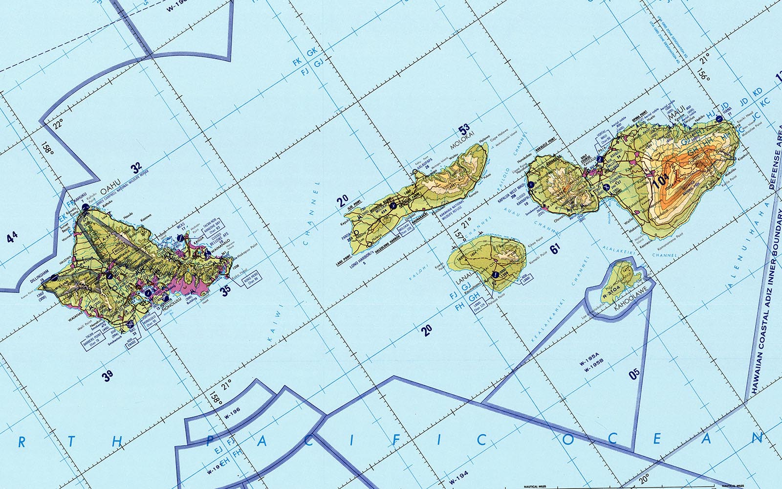
Our EV Map program produces detailed maps & GIS databases built to meet military specifications or tailored to end-user requirements (TDS, MGCP; TM, MTM, MDG).
Custom Mapping Inquiry Form
Custom Mapping FAQ
What expertise does East View Geospatial bring to map production?
For over 30 years, East View Geospatial has been the trusted map production partner for governments, private businesses, and academic institutions around the world. With a staff of GIS, remote sensing, and cartography experts, we deliver the highest quality maps leveraging the latest technologies. Our team of experienced cartographers is ready to create a custom map solution that successfully communicates your vision, from simple personalization to full customization.
Who do we work with?
East View provides custom mapping services for a wide range of users:
Corporations
- Natural Resources & Energy
- Agriculture & Aquaculture
- Communications
- Transportation
- Blue Economy
- Real Estate
- Consulting
- Insurance
- Shipping
- Mining
- Utilities
- Legal
Others
- Outdoor Recreation
- Vineyards/Wine Maps
- Entertainment Industry
- Antique Reproduction
- Publishers
- Education
- Tourism
- Artists
Non-Profits/NGOs
- Environmental Conservation & Stewardship Organizations
- Lake Associations
Institutions
- Federal Government & Military
- Local, State & National Governments
- Local, State & National Parks
- Academic Institutions
- Public Libraries
- Museums
What is the custom map consultation process?
Making a map is still mostly a human endeavor, so shortly after submitting a complete Custom Mapping Inquiry Form, you will be contacted by an East View representative to review your specifications and vision.
Typically, you will be provided with a rough draft of your map(s) to confirm the geographic extents and general layout. A quote will follow soon thereafter for your approval. Upon pre-payment or down payment terms, the process has the cartographer making a first draft of your map and submitting that to you for your editorial input. (We do have map editors, but find that you are usually the best, local expert that we like to include in the mapmaking process.)
This iterative editing process usually occurs three times with the third draft being considered final. You may always have additional changes and subsequent drafts but those may need to be quoted additionally. We find that most maps are made to everyone’s satisfaction in three drafts.
Where does the custom map data come from?
Geographic/spatial data can be presently found nearly everywhere these days. Some data is public domain, some of it is proprietary. East View has access to vast arrays of all sorts of geographic data. To keep costs lower, we will first attempt to use freely available data. However, you mostly get what you pay for and we want you to have the best, most accurate map to meet your needs. If you have your own data to include, then we insist on reviewing it prior to providing a quote. Please rest assured that any data you may provide will be held in strict confidentiality.
How much does a custom map cost?
The price of any map will be in direct proportion to your vision. Thinking big and beautiful? Then a larger budget will be needed to make that happen. We pride ourselves on being able to make any map for any budget. But please keep in mind that you get what you pay for. Our staff of cartographers have decades of experience in a variety of industries that will ensure that the map you want will exceed your expectation not your budget.
Here are some general price ranges for reference:
Personalized Maps $50-$200
Enhanced Maps $200-$600
Full Customization $1,000+
MIL SPEC/Foundation Data please inquire
How long does it take to make a custom map?
The degree of customization required and your responsiveness to the process coupled with your deadline will mostly govern how quickly your map(s) can be made. For full customization maps in particular several months is most common and appreciated. Several weeks is pushing it but can be afforded. Several days is unrealistic.
What formats are available for custom maps?
East View can deliver your map in several formats. Our Print-on-Demand services offer one-sided sheet printing on a variety of print media (synthetic, paper, canvas, etc.) and can laminate if desired for acceptance of dry-erase markers, protection of the image, or avoidance of heavy glass if your intent is to frame it.
If you are wanting your map delivered as a digital image/file, then certain restrictions may apply if the data therein is proprietary. If you wish to own the live, editable file or the copyright to your map please keep in mind that such ownership may incur additional costs.
Why Choose Custom Mapping?
Communicate Your Vision Through Maps
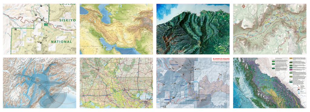
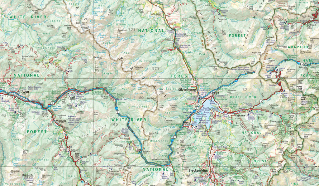
All companies have a geographic or spatial component that is better communicated with a map with a professional design. Look to East View as your source for thoughtfully designed and expertly crafted custom maps. We support all industries, from vineyards and media outlets to real estate and local, state, and national governments. With industry-specific mapping solutions for any application, like scientific and interpretive mapping, our custom maps are visually stunning while meeting your exacting standards.
Designed & Formatted for You
Work with our team to define the geographic extent, scale, features, and general layout of your map, along with any other specifications for a full service design. Then decide how you want your map delivered. We offer several digital delivery options as well as print-on-demand options with the latest equipment and media choices, including Tyvek, matte vinyl, waterproof, canvas, and more.
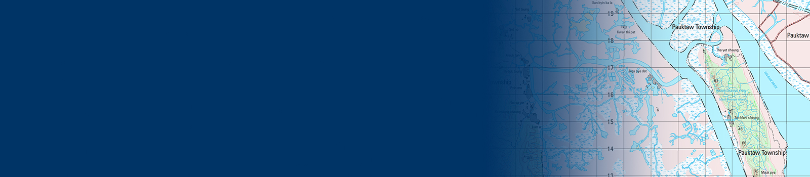
Map Updating, Gap Fill & Foundation Data
East View is a trusted partner for updating maps and geospatial datasets across various places around the world. Whether working directly with national mapping agencies or through other mapping organizations, we have decades of experience in delivering high quality maps and datasets that meet MTM Military Specifications or are tailored to end user requirements.
Expanding Our Cartographic Capabilities
East View’s cartographic production team now includes Benchmark Maps, widely recognized as an industry leader in high quality cartography, adding a plethora of expertise and creativity to our team. When you are looking for high quality cartographic content to represent your company, organization, idea, or to display proudly on your wall, we can make that happen.