SOLUTIONS / DATA PRODUCTION
Monitoring & Analysis
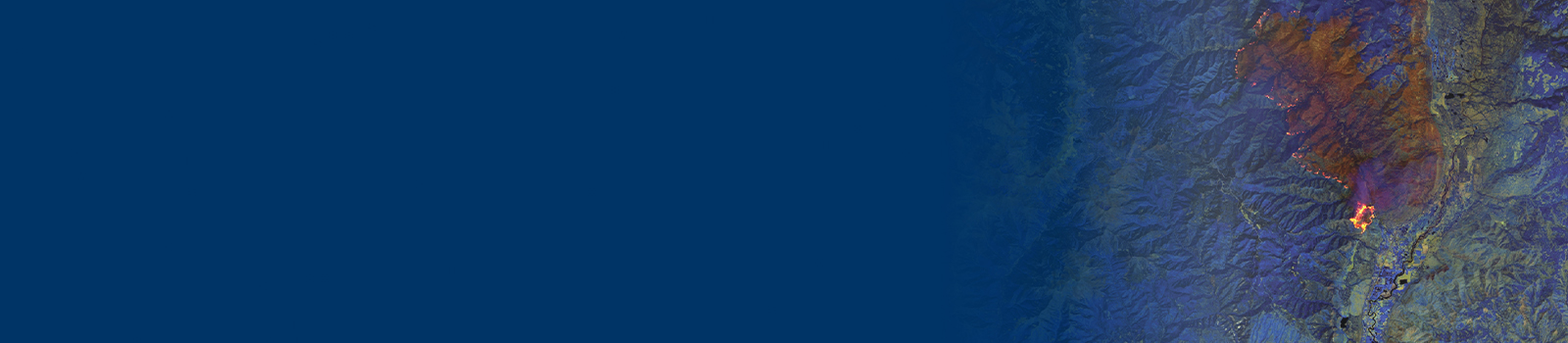
The ability to assess and react to events in real time provides organizations a competitive advantage and the opportunity to save time and money. Work with East View Geospatial and discover how monitoring and imagery analytics can benefit your business.
Rely on the Latest Data to Make Decisions
As events unfold and ground conditions evolve, existing available data can quickly become obsolete. From conducting change detection analysis to rapid imagery classification, we are continually developing advanced techniques to automate the extraction and delivery of updated datasets to keep you better informed.
Bringing Data Together
With East View you have access to thousands of spatial datasets that intersect each other in fascinating ways. Population Data. City Models. Transportation Networks. You name it, we have the ability to bring together the variables your business needs to equip you with the power of spatial analytics.
Trusted When it Matters
We bring years of experience serving the defense and intelligence community and our high standards to the private sector. Whether assisting in humanitarian crisis, natural disaster assessment, or monitoring critical assets, we are prepared to support you with the latest in spatial data analytics.