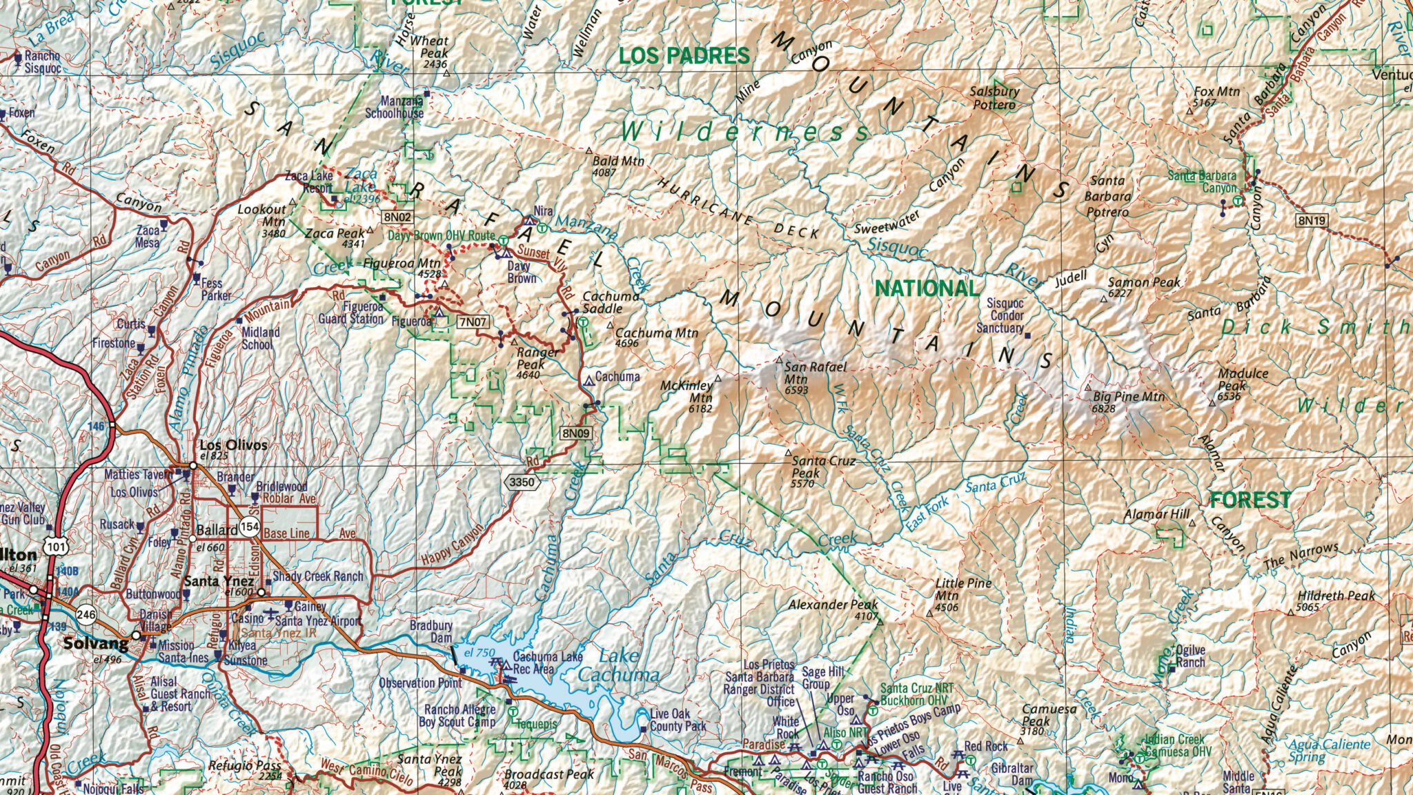
Properly organized and attributed GIS datasets allow users to perform intricate spatial queries, geospatial analysis, and generate valuable insights for applications ranging from urban planning to natural resource management, aiding in informed decision-making and resource allocation.

Professional Archival Services
As a professional data provider, East View Geospatial excels at organizing and attributing enormous datasets in an elegant and efficient manner. With a staff that includes professional librarians and archivists, our cataloging and metadata services are prepared to handle any physical or digital collection and reflect industry standards.

Why Metadata Matters
Metadata enhances the usability and longevity of both physical and digital collections, making them valuable resources for research, education, and cultural preservation. From digital files to physical reports, having a standardized metadata scheme allows your organization to quickly discover, evaluate, and share information, saving time and money. Using professional metadata formats such as ISO, FGDC, MARC, and more, we will systematically organize your collections and give you the data structure you desire.

