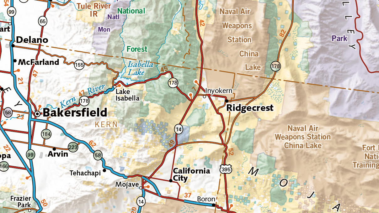
For more than 30 years, librarians, researchers and GIS department faculty have turned to East View Geospatial for topographic and geological maps, nautical charts, atlases, satellite imagery, and increasingly, vector data for GIS systems.
Geospatial Data Built for Academic Excellence
East View Geospatial maintains the world’s largest commercially available collection of maps, charts, and geospatial data. Beyond data acquisition, our in-house digitization, cataloging, scanning, index map creation and overall collection management procedures have proven valuable to the academic community at large. In addition to readily available off-the-shelf indexes (GIS shapefiles, tabular data, or index maps), East View Geospatial can scan maps, store digital backup copies, platformize and host map collections, and compile series and sheet level metadata to meet custom specifications.
Advancing Education
East View has worked extensively with the academic community for many years. We understand what advances scholarship and how to make the data acquisition process easy for universities.
Smooth Integration
East View has performed numerous cataloging projects, which often include custom procurements, high-resolution scanning and metadata creation for ingestion into various ILS/OPAC systems.

Academic Solutions


