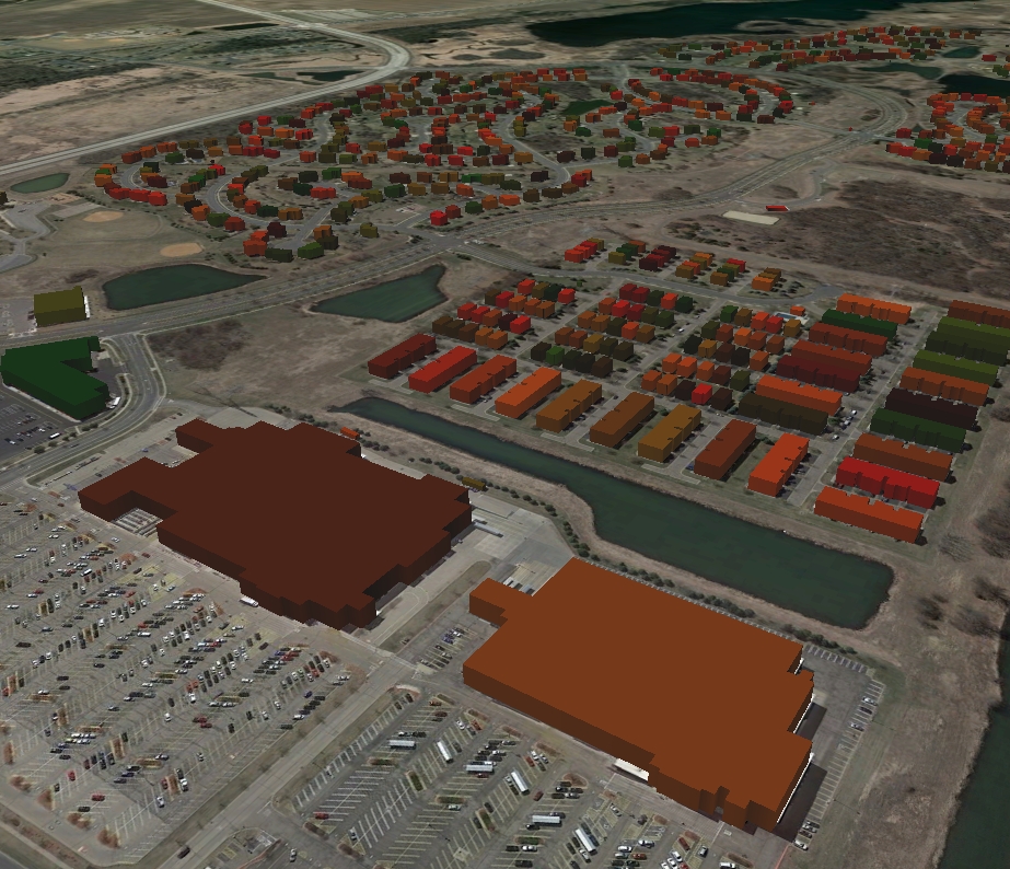
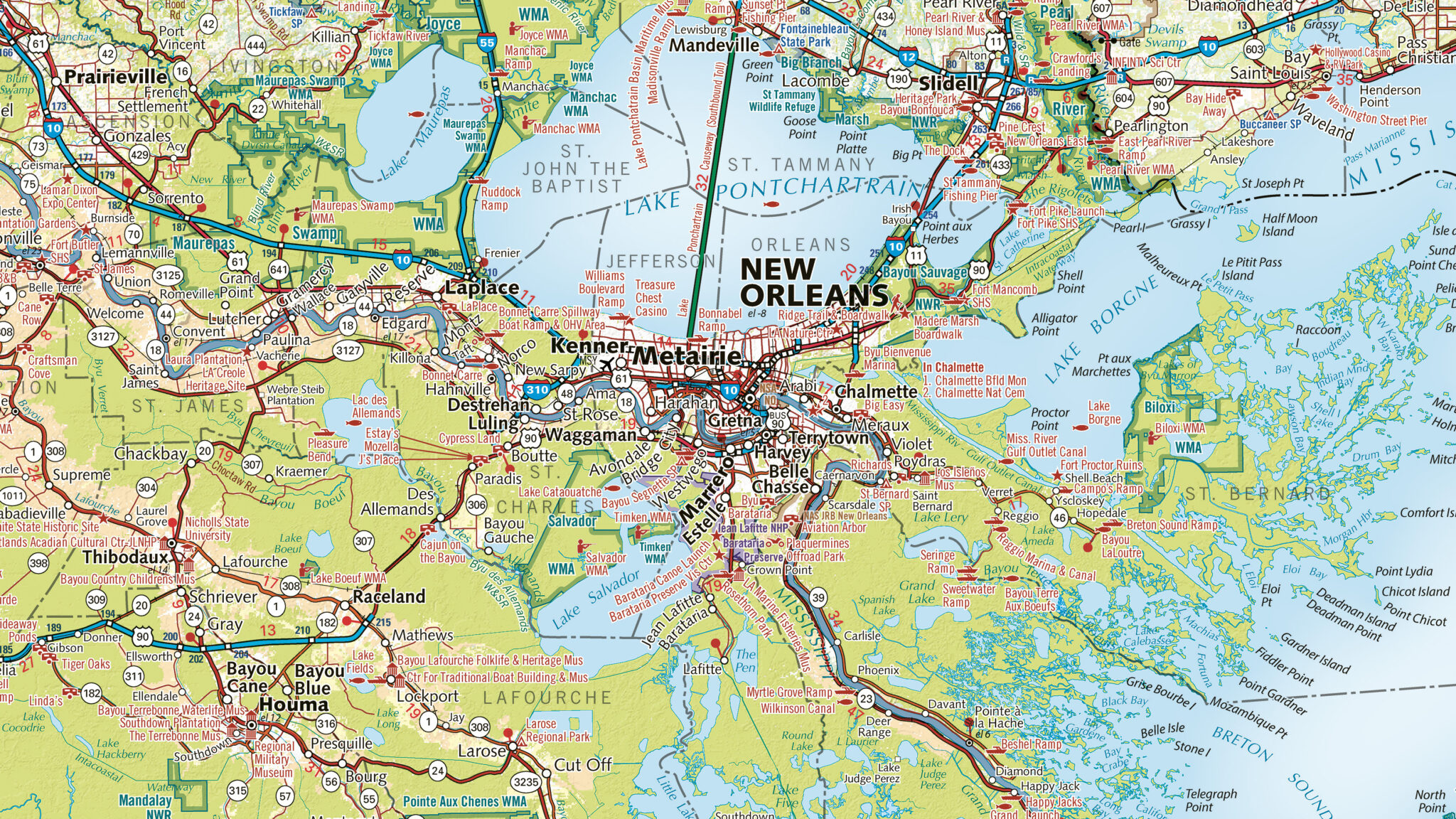
East View Geospatial provides cost-effective solutions for updating and maintaining planimetric feature data for your state or county.
Cost Effective Solutions for Your GIS Program
With East View’s planimetric vector feature extraction services, government agencies will have the latest data at their fingertips, giving GIS administrators and county planners a much clearer picture of the location and condition of buildings and other important features.
Source Data
East View simplifies the process of sourcing and extracting data. Whether it’s utilizing county data data, procuring new datasets or collaborating on collection efforts for LiDAR data or satellite imagery, we make data acquisition and extraction seamless and efficient.
Creation & Updating
We provide comprehensive vector feature extraction services to update your database plus annual updates to ensure you always have the most authoritative datasets at your disposal.
Universal Datasets
Data can be delivered in any GIS format and includes features like roads, railways, buildings, power lines, streetlights, fences, culverts, wooded areas, lakes and rivers.

State & Local Government Solutions


