GEOSPATIAL DATA
Maps & Charts
East View Geospatial has an unparalleled collection of maps, charts and related data, available in multiple formats.
The Largest Commercial Collection of Maps and Geospatial Products in the World
For over 30 years, East View Geospatial has been collecting, cataloging, and distributing authoritative maps, charts and geospatial data from across the world. Whether you are looking for paper maps, rasters, or something more complex, we have the data you need.
Read on for information on our offerings, or browse available maps, charts and data in Global Explorer – our expansive online shop.
Spotlight On
Geoscientific Resources
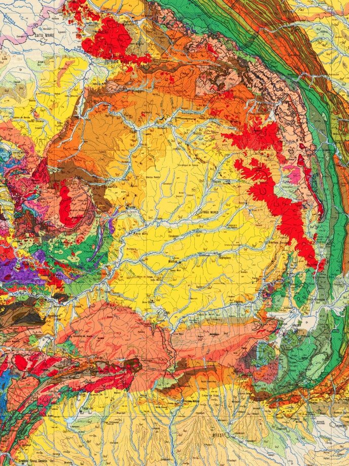
East View Geospatial offers a wide variety of geoscientific data from locations across the globe including geological and mineral resource mapping, all types of geophysical mapping, explanatory notes, terrain analysis reports, soil and vegetation mapping, land use/land cover data, 3D terrain data, and more.
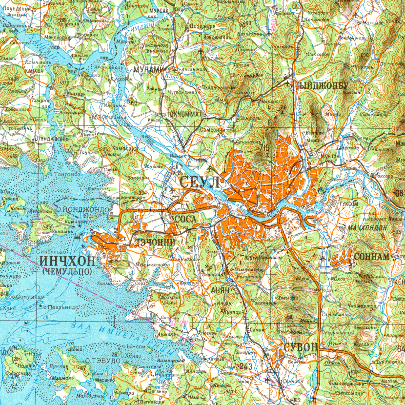
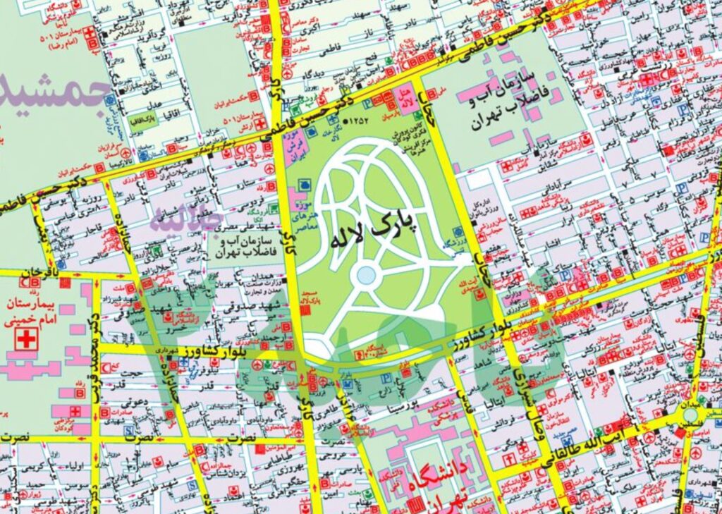
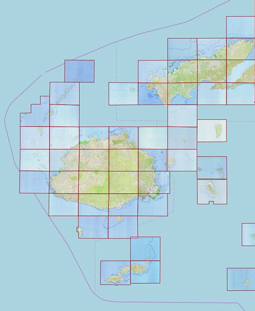
We have partnered with authoritative national mapping agencies from around the world to bring you one of the largest selections of topographic maps, in particular large-scale maps covering unique international territories. Many series are rich in details such as contour lines, sociocultural features, transportation networks, landcover, symbols, and legends.
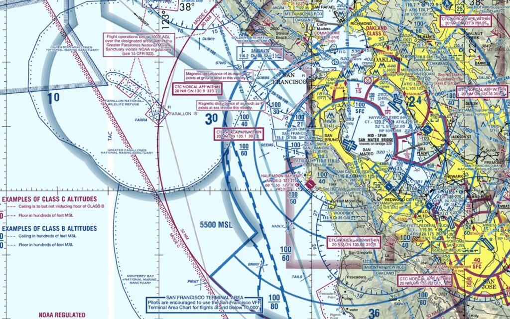
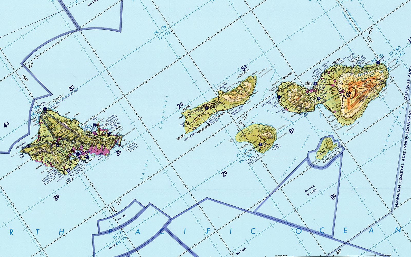
We have an unsurpassed collection of the world’s aeronautical charts with the latest productions for the aviation industry. We offer complete sets of NGA global aeronautical charts, as well as locally produced aeronautical data from countries around the world.
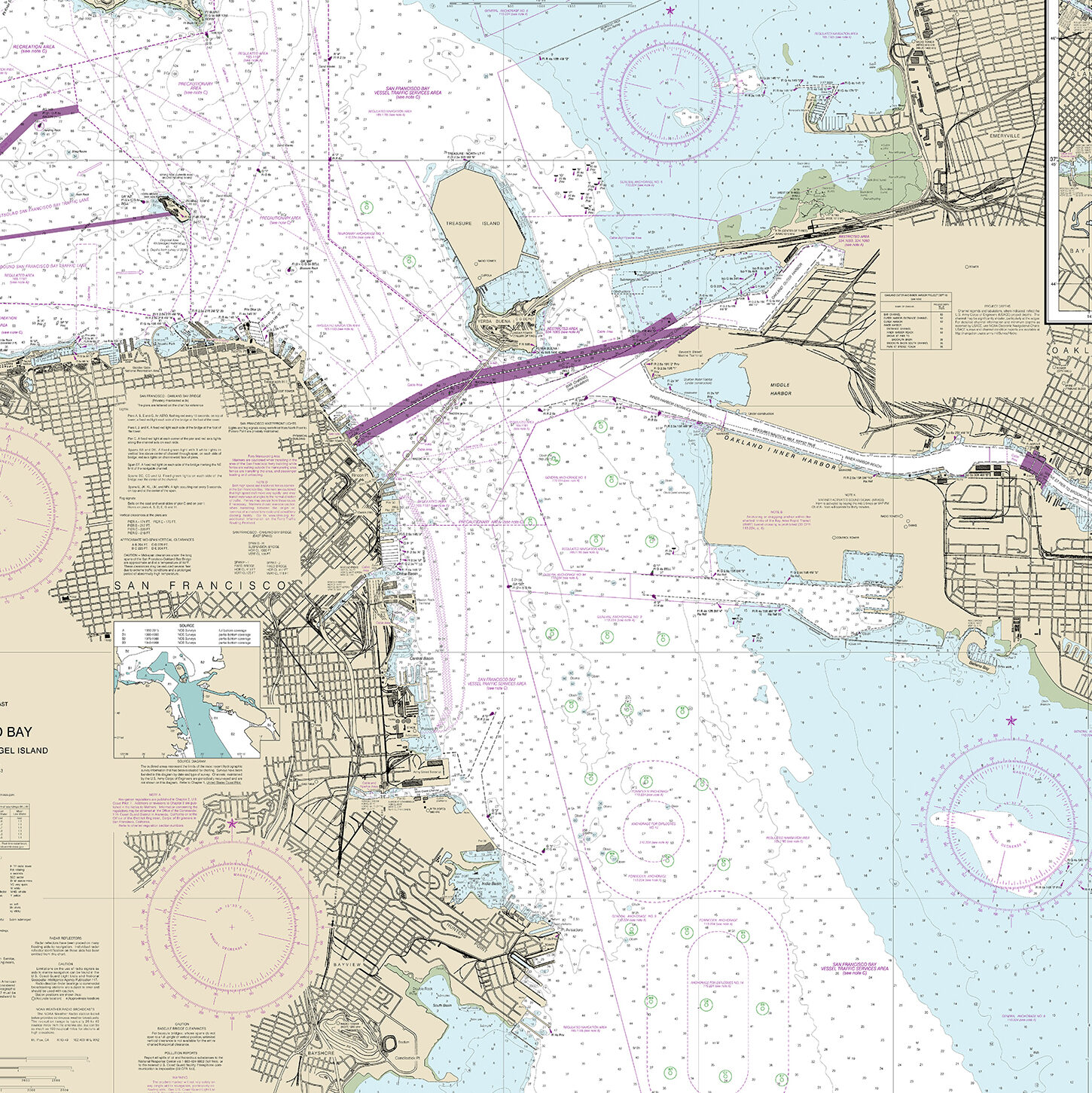
We network with hydrographic agencies worldwide to procure and maintain the latest nautical charts and related publications. East View is a certified print-on-demand partner for the world’s major hydrographic agencies, including NOAA. We also provide official nautical charts from numerous agencies from across the globe through reseller agreements and fulfillment-on-demand.
Looking for something more complex or customized?
Check out our Data Production solutions, including Custom Mapping, 3D Modelling and GIS Vector Data Extraction.
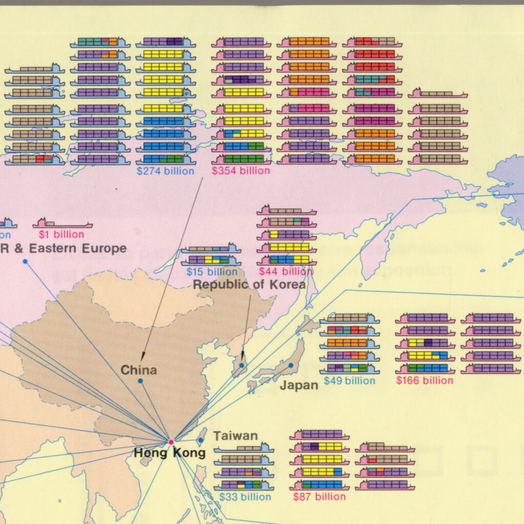
Thematic maps tell stories and emphasize a specific subject area or theme connected to a specific geographical area. Our broad thematic map collection includes thousands of unique productions, from linguistic maps to demographic maps and more.
East View’s Global Geography Library provides unparalleled access to a wide variety of geospatial resources from across the world. Save physical space and time by accessing source materials directly from your browser and heighten your research ability with powerful tools for searching and in-depth analysis.
MapVault is a subscription-based service providing access to 500,000+ georeferenced map sheets across over 1,000 authoritative topographic, nautical, aeronautical, and geological map series from all over the world, without the costs of procuring, storing and digitizing physical maps.