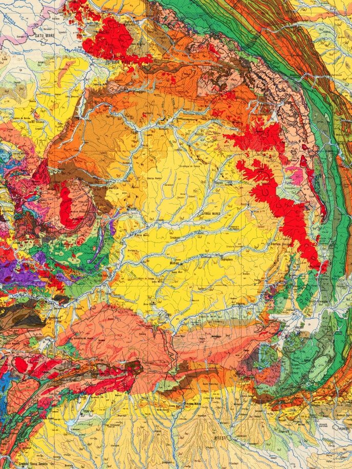
East View Geospatial is a unique source of worldwide topographic mapping.

No other company offers such an array, especially of large-scale topographic maps over international territories.

Over many years we have collected, catalogued and distributed all types of topographic products at every scale – in print, raster and vector. We offer three basic choices of topographic maps:

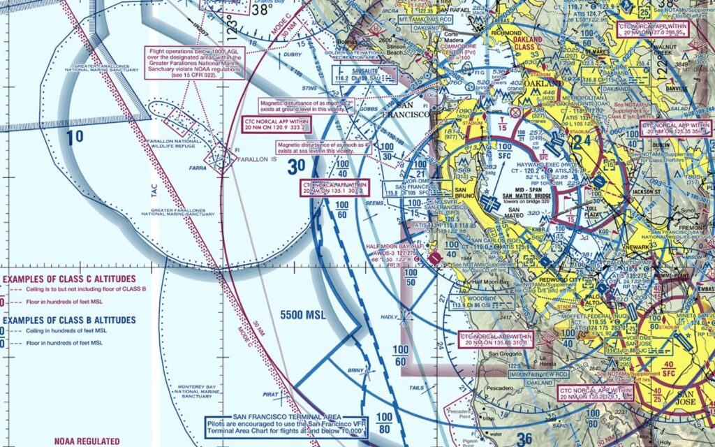
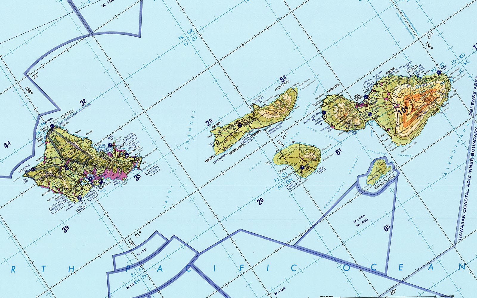
American Military Mapping

The U.S. Government has supported the creation of a global series of topographic maps, the origins of which coincide with the emergence of the USA as a global superpower following the World War II experience.

At present US military topographic maps are produced by the National Geospatial-Intelligence Agency (NGA), either alone or in cooperation with US allies or partner countries. Prior to NGA, US military topographic maps were produced by the Defense Mapping Agency (DMA), and prior to DMA, by the Army Map Service (AMS). Most of the recent topographic maps at larger scales are marked as “limited” distribution materials and accessible for the government and DoD contractors only. Nonetheless, certain series over some parts of the world are available and can be provided.

The most popular series currently available are as follows:

  • Global Navigational Chart (GNC) 1:5,000,000 scale
  • Jet Navigational Chart (JNC) 1:2,000,000 scale
  • Operational Navigational Chart (TPC) 1:500,000 scale
  • Joint Operations Graphic (JOG) 1:250,000 scaleThese scales still represent the best accessible coverage for many countries.

Other series with limited availability are Topographic Line Maps (TLM) 1:100,000 and 1:50,000 scales and City Graphics. Maps are available in paper, raster or vector form; however, in certain cases only ADRG or ADRG-derived products are available.

Russian Military Mapping

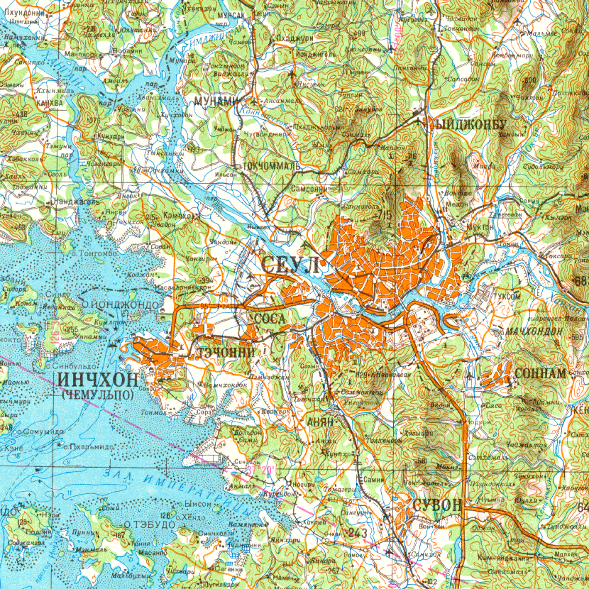
World-class topographic mapping has been a natural concern for Russia throughout its history, supporting the defense of its homeland as well as the expansion of its empire. As a world superpower, the Soviet military initiated an unprecedented worldwide mapping effort to cover the entire globe, which became available after the break-up of the Soviet Union.

These large scales maps are the best choice for those parts of the world where locally produced mapping is not available.

Dating from 1970 through 1990, these maps are produced at the following scales:

  • 1:1,000,000 Soviet Military Topographic Maps
  • 1:500,000 Soviet Military Topographic Maps
  • 1:200,000 Soviet Military Topographic Maps
  • 1:100,000 Soviet Military Topographic Maps
  • 1:50,000 Soviet Military Topographic Maps
  • Soviet Military City PlansThese scales still represent the best accessible coverage for many countries.

A unique feature characterizing Russian topographic mapping is its uniformity in terms of indexing system, geodetic parameters and symbolization rules. All maps are published in Gauss-Kruger conformal projection using Pulkovo 1942 datum on Krassovsky 1940 ellipsoid. The standards for symbolization were established more than fifty years ago and incorporate more features than any other mapping in the world. Some map series especially at 1:100,000 and 1:50,000 scale include information about terrain and transportation network conditions. The maps can be provided in paper, raster or vector form; however, in certain cases only raster-based products are available.

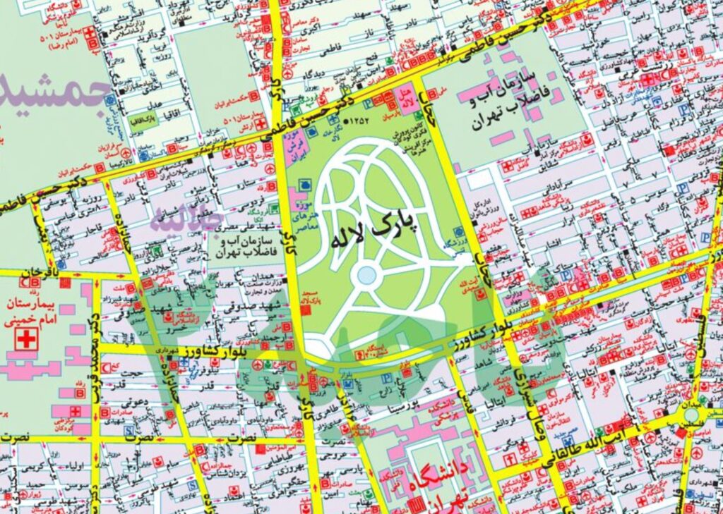
National Mapping

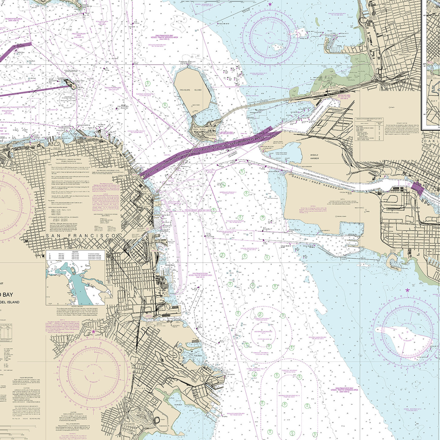
Worldwide national mapping is found in a wide range of conditions. While the portion of the Earth that is still not well-mapped decreases with each passing year, a surprisingly large number of countries do not have complete large-scale mapping at all. It is not just a problem of impoverished states, or extremely large countries. Geography itself plays a role – a country’s equatorial proximity may result in near-permanent cloudy conditions making remote sensing more difficult and hence map-making. In many cases the status of mapping remains as a legacy of colonial and military involvement of world empires and superpowers.

Another important factor of national mapping is secrecy or distribution restrictions applied by local governments. The maps are the classic “dual-use” technology, of critical import to both military and civilian organizations. Nearly every country of the world has to some degree classified its maps, both those of its own territory and those of its neighbours’ territories. Restrictions imposed by some governments are relatively mild (such as restrictions for map distribution over certain areas only), however in some cases the restrictions are more comprehensive.

Also in the realm of public policy is the issue of the copyright status of a country’s maps. In some countries the base data upon which their core users rely are to large degree free of copyright. On the other side of the fence some countries apply strict copyright and license restrictions prohibiting any derivative work and reproduction of their cartographic materials.

Finally, the vintage and the quality of nationally produced topographic maps also need to be considered. There are still some significant areas even in industrialized countries where mapping is severely outdated. Africa remains one of the most problematic areas. For the majority of African countries the colonial mapping has not been updated; therefore on top of the problem of incomplete mapping there is an issue of obsolete materials.

East View Geospatial has direct contacts with National Mapping Agencies (NMAs), commercial producers, on-site map suppliers and leading map publishers worldwide. This ensures access to the most recent native mapping. American and Russian topographic map series cover the entire world, filling in areas that may not be covered by national mapping.

Shop now for Topographic Maps

East View Geospatial is a unique source of worldwide topographic mapping. Over many years we have collected, cataloged and distributed all types of topographic products.