East View Geospatial offers authoritative, hard-to-find geospatial data and data management services for the energy and mining industries to support exploration, improved decision making, operational efficiency, safety, and much more.
Diverse Resources and Applications
Energy and mining companies use our data to solve problems, visualize projects, and make important exploration and operation decisions. We work with you to identify and procure the best datasets for your company’s requirements, and help you manage your proprietary data to support exploration, environmental assessments, regulatory compliance, and other aspects of your business.
We support a variety of applications, including:
- Exploration
- Resource Assessment
- Environmental Assessment
- Carbon Storage
- Offshore Wind
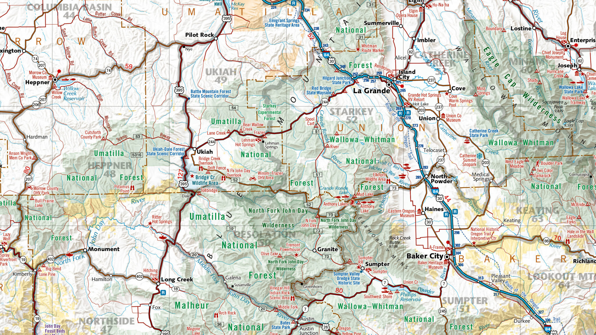
- Up-to-Date Basemaps
- Maps in AutoCAD
- Seismic Surveying
- Terrain Analysis
- Mine Audit & Monitoring
- Mine Reclamation
- Production Efficiency
- Workflow Optimization
- Risk Mitigation
Expansive Library of Geoscientific Resources
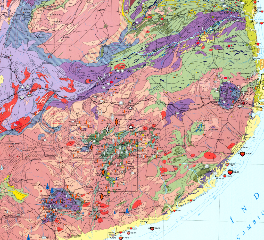
Our large selection of geological and mineral resource maps covers most areas of the world and all manner of related specialty geological maps (magnetic field anomaly, quaternary deposit, prequaternary formation, lithostratigraphic, tectonic, hydrologic, soil, and more). Many geological maps come with extensive explanatory texts, often in English.
Optical and Spectral Remote Sensing
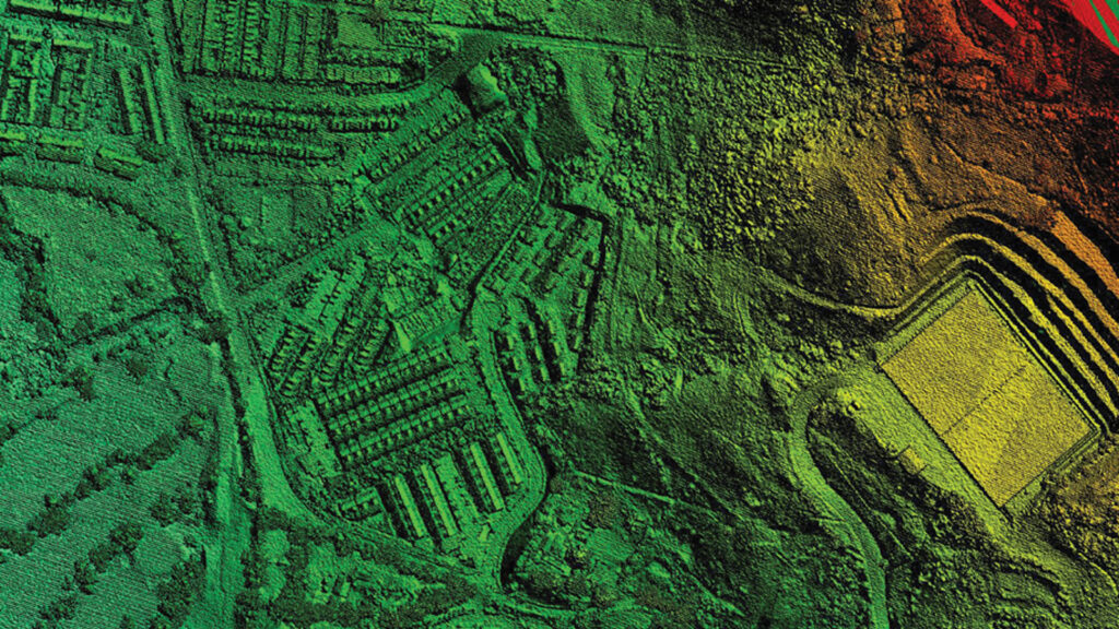
We collect and process Synthetic-Aperture Radar (SAR) data and Light Detection and Ranging (LiDAR) data for making detailed terrain models in higher spatial resolution and accuracy for better overall reliability.


Geospatial Extraction and Transformation
We aggregate vector, raster, and feature information from a variety of sources, notably from large-scale topographic, geological, geochemical, and geophysical databases along with imagery to update and enhance maps in your GIS for primary exploration.
Georeferencing, Digitization, and Preservation
Our digitization experts transform your maps, mining journals, and other related content into searchable and accessible digital information, maximizing usability and longevity of physical collections that will generate valuable insights in your operations.
Custom Mapping and Modeling
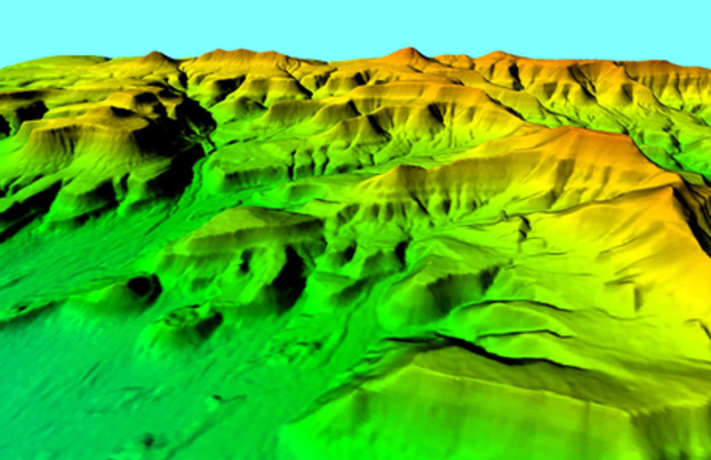
Our cartography experts utilize topographic maps, geological maps, and satellite imagery for DEMs and 3D models that reveal unseen geography and add context to blueprints.
On Demand Imagery
We task the collection of new imagery from our network of sensors providing the latest snapshot over your area of interest, or if you’re looking to the past we can provide historical satellite imagery utilizing our partners’ deep archives.

Energy & Mining Solutions


