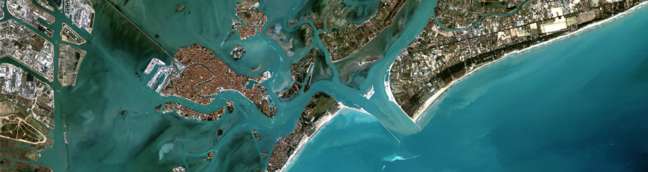
East View Geospatial Is Your Single Source for Satellite Imagery and Other Remotely Sensed Data
As official partners with over a dozen commercial imagery providers, East View Geospatial can task the collection of new imagery or source from an enormous historical catalog. Work with our team of imagery experts to find a product that satisfies the spatial, spectral and temporal requirements of your projects.
![{
bandList =
[
3;
2;
1;
]
}](https://geospatial.com/wp-content/uploads/2018/03/athens_greece_40cm-1024x568.jpg "{ bandList = [ 3; 2; 1; ]}")


![{
bandList =
[
3;
2;
1;
]
}](https://geospatial.com/wp-content/uploads/2018/03/kuaui_hawaii_40cm-1024x508.jpg "{ bandList = [ 3; 2; 1; ]}")

Go Beyond the Visible
In addition to imagery, East View Geospatial can collect and process Synthetic-Aperture Radar (SAR) as well as Light Detection and Ranging (LiDAR) data.
Want to learn how SAR and LiDAR can enhance your efforts?


