(Image Courtesy of PCMag)
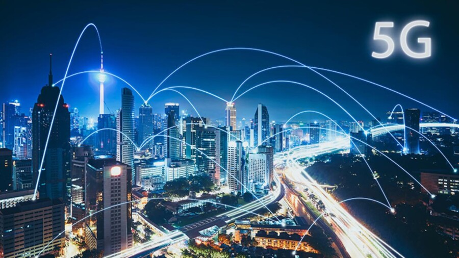
All types of technology are constantly evolving in today’s fast-paced world, and wireless technology is no exception. 5G, the fifth generation of wireless technology, will soon be as ubiquitous in the real world as it is in tech writing. With the ability to move more data more quickly than previous generations of wireless tech, 5G will empower everything from smartphones to autonomous vehicles and smart cities. The technology is as capable of enabling a machine to quickly download plans to fix itself as it is loading a movie onto a phone.
Whether in New Delhi, New York City, or Newfoundland, geospatial data and information are crucial to 5G network rollouts. Well-planned, expansive networks are required for this technology to work seamlessly, because, along with its benefits, 5G brings a set of challenges that require detailed and dynamic geospatial data and information to solve.
5G waves are shorter and denser than those of 4G. They can be stopped by a hand, wall, or a palm branch in the breeze. A general rule-of-thumb for 5G connectivity is a line-of-sight from one antenna to another, meaning networks are built with more base stations, in closer proximity, than previous communication infrastructure. In rural areas, this will mean building new towers, while in urban areas, designers will attach antennas to existing buildings. This points to an instance of location data being crucial to the success of 5G; to install an antenna on existing structures, land ownership data will need to be considered.
Location data has already helped cities and communities build themselves in smarter ways. Using that existing information to implement 5G is a logical step, and GIS companies are providing both unique and existing data to the telecom industry. Geospatial analysis can go beyond physical details of cities and landscape; it can also provide insights on the people, weather, and vegetation that live in them. This data provides radio engineers and network designers a deep understanding of factors that could impede signal reliability. Consideration of things like pedestrian traffic, planned construction, seasonal plant growth, and even risk for natural disaster all adds to the stability of the 5G network. Seeing those factors in one geovisualized image is invaluable.
Existing land use and coverage maps give one part of the picture, while high-resolution data, such as LiDAR technology, which is already being put to use in autonomous driving can provide designers with real-time updates and hyper-detailed imaging of the city they are working in, even at different times during the day or across a period of time. If a distance between two base stations or antenna is too great or interrupted by a signal-blocking element, alternatives can be devised. LiDAR’s accuracy allows for these adjustments and tests to occur on virtual site visits and field simulations, which keeps costs, delays, and surprises at a minimum.
As 5G networks go live, geospatial data will help companies keep track of where signal strength falters. This gives them the ability to respond in real-time to the needs of their customers, while providing the data needed to address the problem at its root.
Key Takeaways:
- 5G networks require more antennae in closer proximity because its waves are shorter and more easily blocked than previous technology.
- GIS data allows designers and engineers to design and test networks around potential signal-blockers, no matter how small a factor they may seem. This ensures that the most reliable network is built the first time around.
- LiDAR’s ability to update maps and databases in real time and in great detail allows for a greater ability to react proactively to developments that may threaten network stability.


