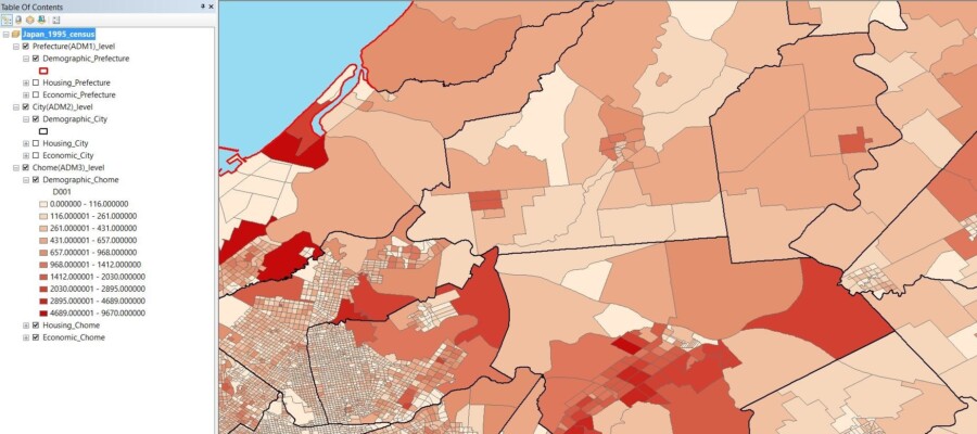
Not only does East View Geospatial have the largest collection of maps commercially available- we create them, too! Our dedicated team of GIS and Cartographic experts utilize authoritative data to create the most accurate maps available on the market. Cartographic finishing is an essential step in the map making process. We spoke to Jason Sjolander, a GIS Technical Manager at EVG, about cartographic finishing and why it’s essential when creating print ready & digital maps.
“Cartographic finishing refers to the process by which a cartographer edits the results of automated workflows to perfect a map and ensure everything displayed on the map is accurate and up-to-date.
Many maps have automated workflows that apply different symbology (symbols representing features like rivers and roads) and annotation to a map. Current workflows deliver an accuracy around 70-90%, leaving a clear need for cartographers to evaluate, make changes and apply finishing touches. To finish the map and ensure it is 100% accurate, a cartographer must edit the symbology and/or the annotations. Moving or editing these features will add clarity and legibility to the final map product.
This final step in the cartographic process outlined above represents the bulk of cartographic work. Technology has made it so that the map making process, once long and arduous, has become almost completely automated. While these technological innovations do save time and resources, nothing can replace the eye of a cartographer.
How does this apply to your work at EVG?
Cartographic finishing is implemented every time EVG produces a map. Before any in-house map is seen by the public eye, it must go through the finishing process. Although EVG implements world-class automated cartographic workflows, there will always be a need for a cartographer to finish the map.”
Accuracy of data, symbology, annotations, and placements is crucial in today’s cartographic world. We hold ourselves to the highest quality standards and guarantee our customers that EVG cartographic products will accurately reflect the world in its current state. Contact us to find out how you can leverage geospatial data today!

Jason Sjolander
GIS Technical Manager


