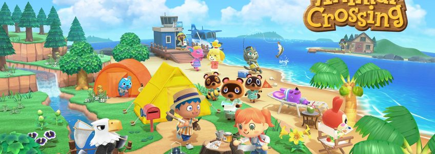
Big news in the gaming world today- the highly anticipated game, “Animal Crossing: New Horizons” is being released! Though it may not be obvious, the geospatial field interfaces with the gaming world in many ways, even if the game is based in a fictional universe like it is in Animal Crossing.
One of the reasons this game has been so highly anticipated is due to the brand-new landscape and map options. In this version of the game, players are given their own island to explore and develop. Players will be presented with four different map options they can choose from, with each one having slightly different geographic features (different elevations, longer or shorter rivers, etc). Previously released images of the new maps (courtesy of Nintendo) show them to be quite simple, displaying only the necessary features- bodies of water, bridges, and a home base, among other things. Though the world of Animal Crossing is pixelated and filled with animal townspeople, the basic principles of mapping and cartography are still followed to a tee. Certain mapping conventions (i.e. water is blue, forest areas are green) have become so ingrained in what the collective expectation of a map is that there is often an adverse reaction from people if one of those conventions is not followed, even if the world is based on fiction.
For Animal Crossing specifically, the maps are predicted to start very simple and will likely get more complex as the player progresses and unlocks new features. This mirrors what happened with the earliest real-world cartographers- they made maps increasingly more detailed as they discovered more about their surroundings. Moreover, these maps became more complex as people found innovative and improved ways to capture, store, & use data. Nintendo went above and beyond to assure their gameplay mirrored the experience of being a real-life explorer. There have been rumors that there are many geologic features, such as cliffs and mountains, which will be discovered the more you explore the world, just as early trailblazers experienced. In fact, new discovery is still occurring today in places that are only just beginning to be explored, like the deep ocean and space.
There is a subset of video game design that is responsible for designing game maps, known as level design or environment design. While this entails much more than just designing fictional maps, displaying features on a map is crucial for positive gameplay experiences. These maps are often the first thing a player sees when beginning a new game and can guide players during in-game decision making. This is also true in the real world, maps can show a myriad of different features and can provide people with useful data that can aid in key decision making. A great example of this is how geospatial data is leveraged within insurance.
Whether the cartography is based on the real world or a fictional universe, almost all the same principles and conventions still apply. Our real-world expectations for what needs to be conveyed on a map have bled over into the world of simulation and gaming. As the games and features get more and more complex, so do the maps within the game experience, and, as a result, the gameplay experience itself becomes more immersive and enjoyable. It’s quite incredible to take a step back and realize how crucial maps are in our everyday lives. Whether you’re driving to a vacation destination using Google Maps or navigating the world of Animal Crossing: New Horizons utilizing their immersive map experience, there is always value to having a map on hand!


