The shift toward accessibility in GeoINT means that all kinds of consumers, be they NGOs, academic outfits, or commercial endeavors, are finding it easier to integrate finished geospatial intelligence into their workflows.
The avalanche of open data, both historical and current, and analyst-freeing automation processes are ensuring that GIS-powered research remains top-shelf intel sitting within reach of an ever-expanding customer base. This touches the study of everything from drone proliferation to coal exports, from drug trafficking to oil infrastructure, from protest analysis to airfield activity.
A government might want to know if new military bases are being built by a neighbor. A private business may want to monitor the construction of a competitor’s new facilities. In these pursuits, change detection is invaluable. Add to that analysts capable of imagery classification, and the makings of an executable plan are clear.

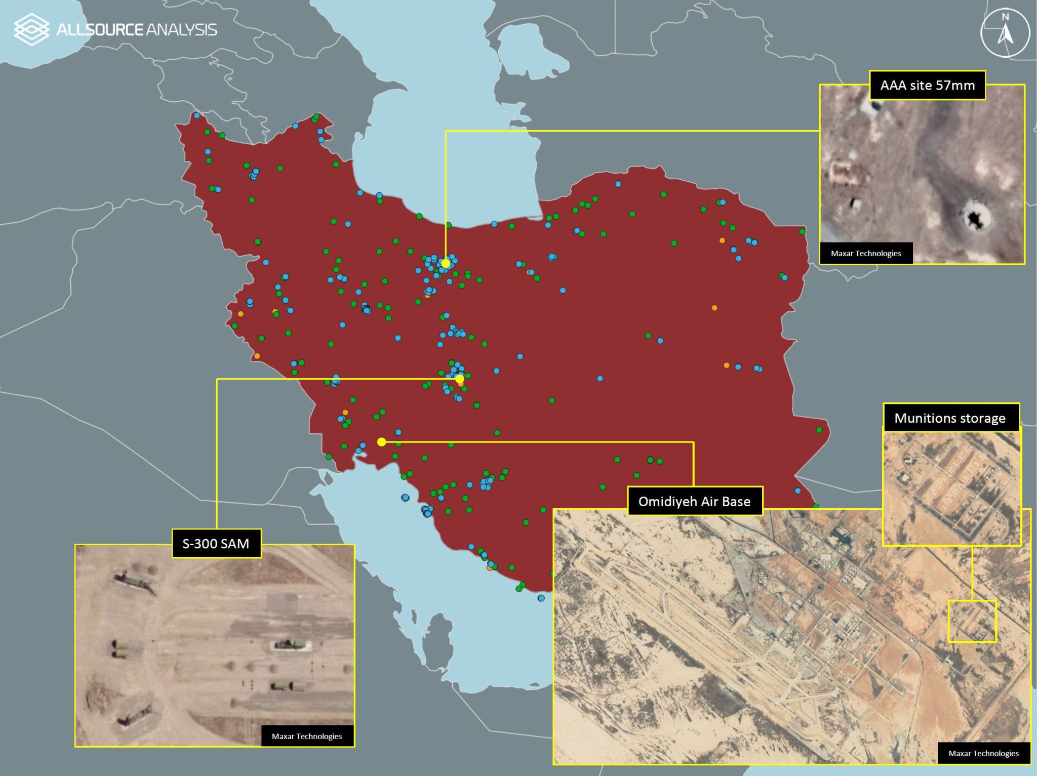
GeoINT datasets can contain various types of information. This one shows the locations of both civilian & military infrastructure in Iran. Image courtesy of AllSource Analysis.
Capturing raw data and turning it into actionable intelligence once required that an entity own (or at least have access to) dedicated satellites and a fully-staffed-and-funded team of expert analysts. Today, as accessibility and demand rise, methods of delivery are transforming, too. Maxar’s recent launch of an analysis-ready data subscription service provides one example, while AllSource Analysis’ network of top analysts and cutting-edge technology provides another.
Tasking imaging satellites to capture something they’re not already capturing is expensive, but the proliferation of satellites as SAR data’s prominence rises means the cost is coming down.
As noted in last week’s post, though, insight is different than information. All the raw data in the world isn’t of much use without specialist knowledge of how to interpret and manage it, and that takes expertise. Without expert eyes, connections between, say, social media data and regional topography might go unnoticed and unleveraged. Fortunately, the capacity to analyze raw satellite imagery and perform image classification is growing as the ranks of capable analysts increase.

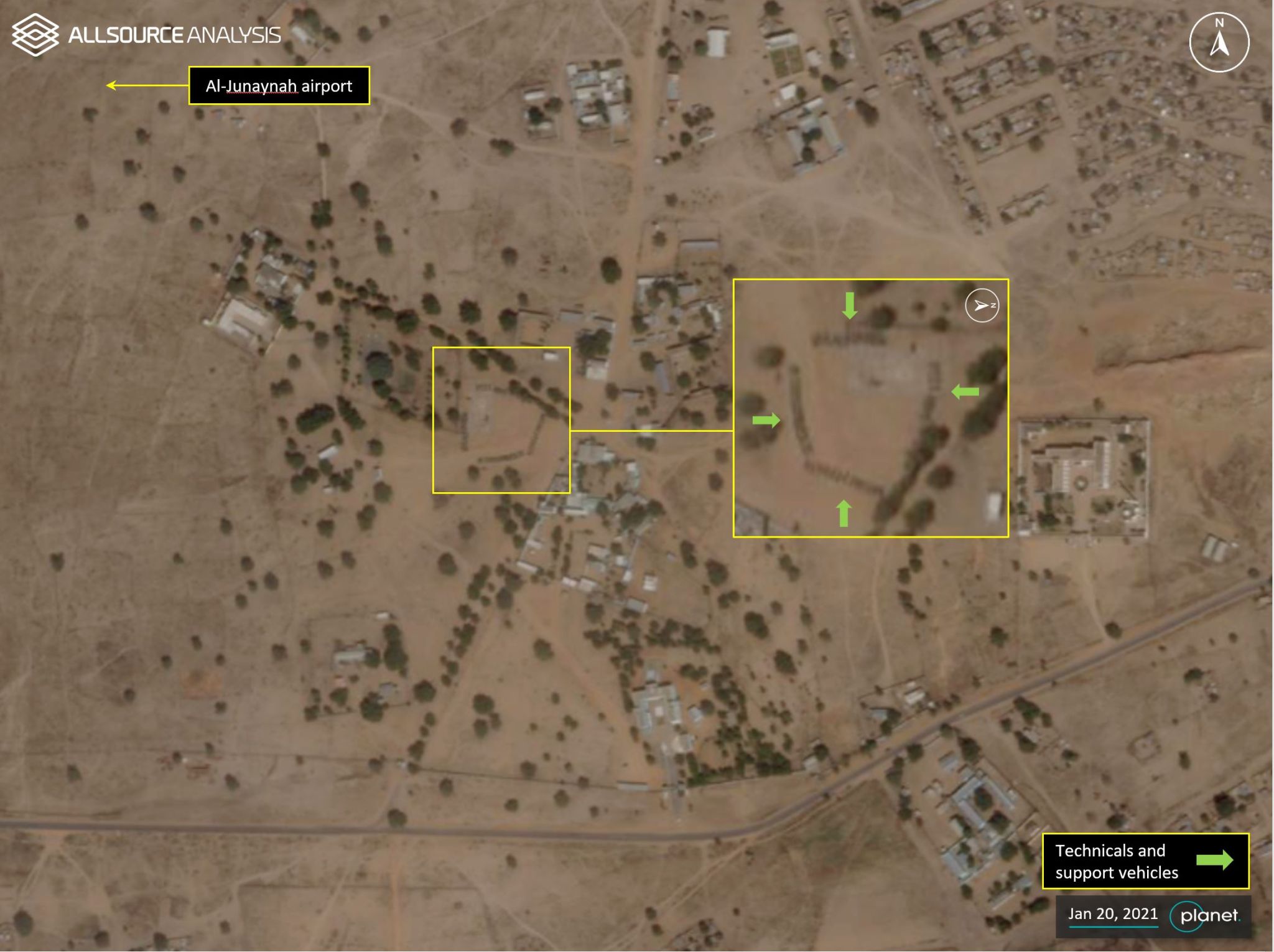
Change detection in imagery is an important part of GeoINT analysis. This image shows an increase in armed vehicles. Image courtesy of AllSource Analysis.
Those analysts are benefitting from a refinement of workflow efficiencies. As AI and machine learning processes speed up previously tedious aspects of the process, the human components are freer to make connections and draw conclusions.
The result of all this? There is more GeoINT data in the hands of more people than ever before.


