Doing business in the era of COVID-19 means navigating around office closures, travel restrictions, and other roadblocks. For cartographers & GIS teams, who often work in a collaborative environment, and by leveraging large datasets sitting on local servers, this reality could present major problems.
Thankfully, current technology and strong, pre-existing relationships between data providers and map publishers worldwide allow for remote work where it was once not feasible. This has kept an essential industry running in uncertain times.
The East View Geospatial cartographic team found itself at the forefront of this phenomenon earlier this year when it produced mapping of the Polynesian island nation of Samoa.
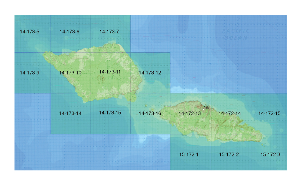 The mosaic of all 16 sheets over Samoa produced by EVG.
Just prior to its work in Samoa, the EVG production team published 16 topographic maps over Tanzania after identifying gaps in the series’ coverage. This effort thereby helped complete the Tanzania 1:50,000 topographic map series for the first time in the nation’s history (this story map tells that story).
In their efforts to execute the map production efficiently, accurately and up to MTM Mil-Spec requirements, the team utilized a suite of workflow enhancement tools developed by the Esri Defense Mapping Team, just as they had in their Tanzania work. These tools streamlined the production process and the team’s expertise with said technology made the completion of the Samoan map series possible.
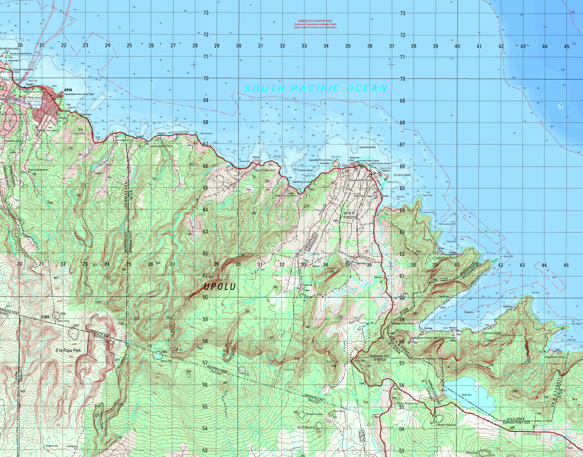
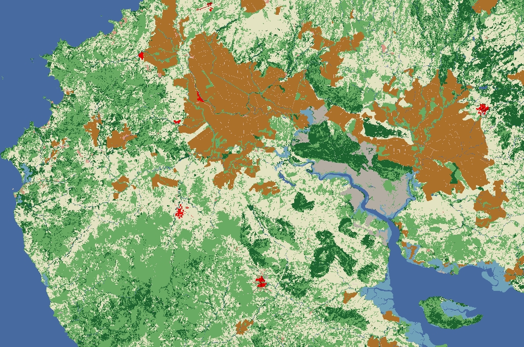
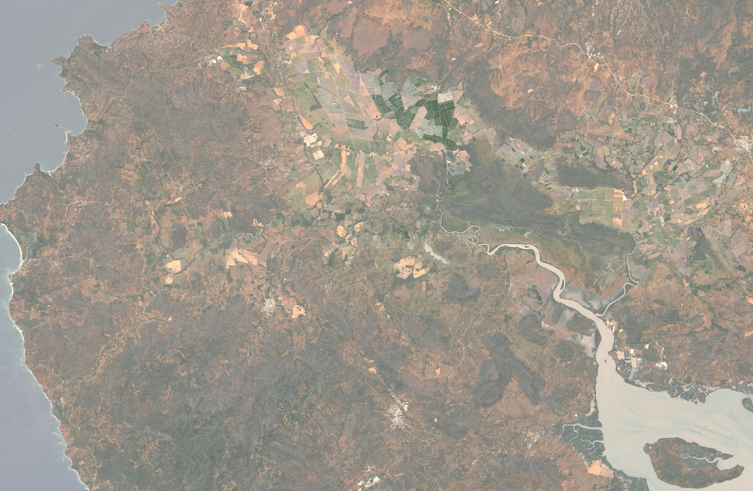
One of the topographic map sheets over Samoa produced by the EVG cartographic team.
In the end, our cartographic team produced & published a series of 1:50,000 scale topographic mapping comprised of 16 map sheets over Samoa. This series is the most recent addition to the EVMap catalog that includes datasets over Tanzania, Nigeria, Mexico and Myanmar. The production of this map series was executed 100% remotely and completed in 50% of the time estimated.
Mapping in the era of COVID may come with complications, but with the right tools in the right hands, precise, ground-breaking mapping projects can seamlessly move forward.
Watch the short video below to see how the EVG cartographic team mapped Samoa in the age of a pandemic:


