Image courtesy of Amazon.
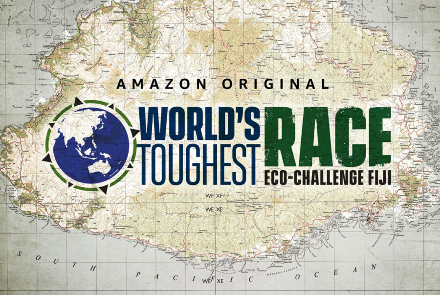
In late 2018, the Eco-Challenge scout team moved through the lush valleys and dense jungles of Fiji, evaluating the island for their upcoming joint television production with MGM and Amazon Studios, World’s Toughest Race: Eco-Challenge Fiji.
The competition pits 66 teams from around the world against each other in a round-the-clock race over, into, and through hundreds of miles of Fijian wilderness. To navigate the jungles, beaches, and rocky faces of the island, the teams use only paper maps and a compass. To track the teams, stay organized, and create compelling television, the production crew required a far more diverse array of geospatial resources.
Before embarking on their evaluation mission, Eco-Challenge turned to East View Geospatial.
The team’s first need: detailed, authoritative maps of the territory they were scouting to define optimal routes, plan the checkpoints and emergency stations, etc. Our partnership with National Mapping Agencies in Fiji, combined with our comprehensive collection of physical and digital mapping options, enabled us to offer quality information to the team simply and efficiently – precisely why we do things the way we do.
We procured and supplied a collection of 1:50,000 and 1:250,000 national topo maps of the island. Our existing partnership with the Ministry of Lands and Mineral Resources of Fiji streamlined the process of collecting the geospatial information the team needed, and scouting commenced.
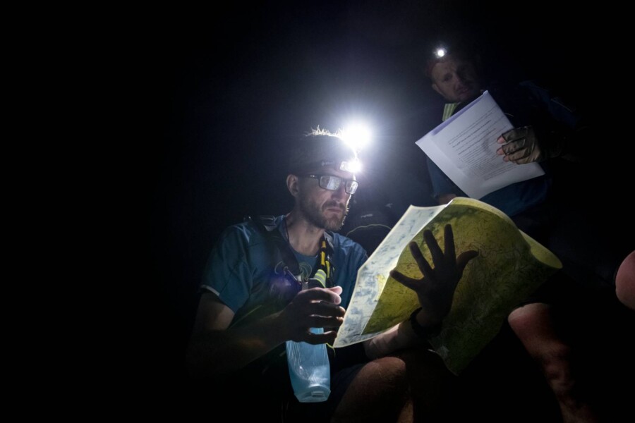
Image courtesy of Amazon.
Our collaboration deepened as the project’s needs grew and EVG’s comprehensive capabilities were put to use. Over the course of our engagement with Eco-Challenge, we would collect and distribute existing information, identify and compile comprehensive data inputs, craft custom map products for specific purposes, and even print-on-demand the physical maps needed for competitors, set-dressing, and emergency back-up purposes.
The scouts finished their work using maps we provided, and the project’s complexity increased. Now the team would need to gather more data inputs to create the mapping systems necessary to monitor and execute the production. Our next blog will outline the needs of the production team and how EVG provided the ultimate geospatial solutions.


